
C++ Toolkit For Geospatial Data Processing
Formerly known as Spatial Modeler SDK, this GIS SDK C++ toolkit contains geospatial AI tools for building, modifying and running geospatial data workflows. It enables advanced users to build, extend and operationalize geospatial workflows, either as add-ons to Octave Imagine (formerly ERDAS IMAGINE) or Octave GeoMedia (formerly GeoMedia), or embedded inside their own applications.
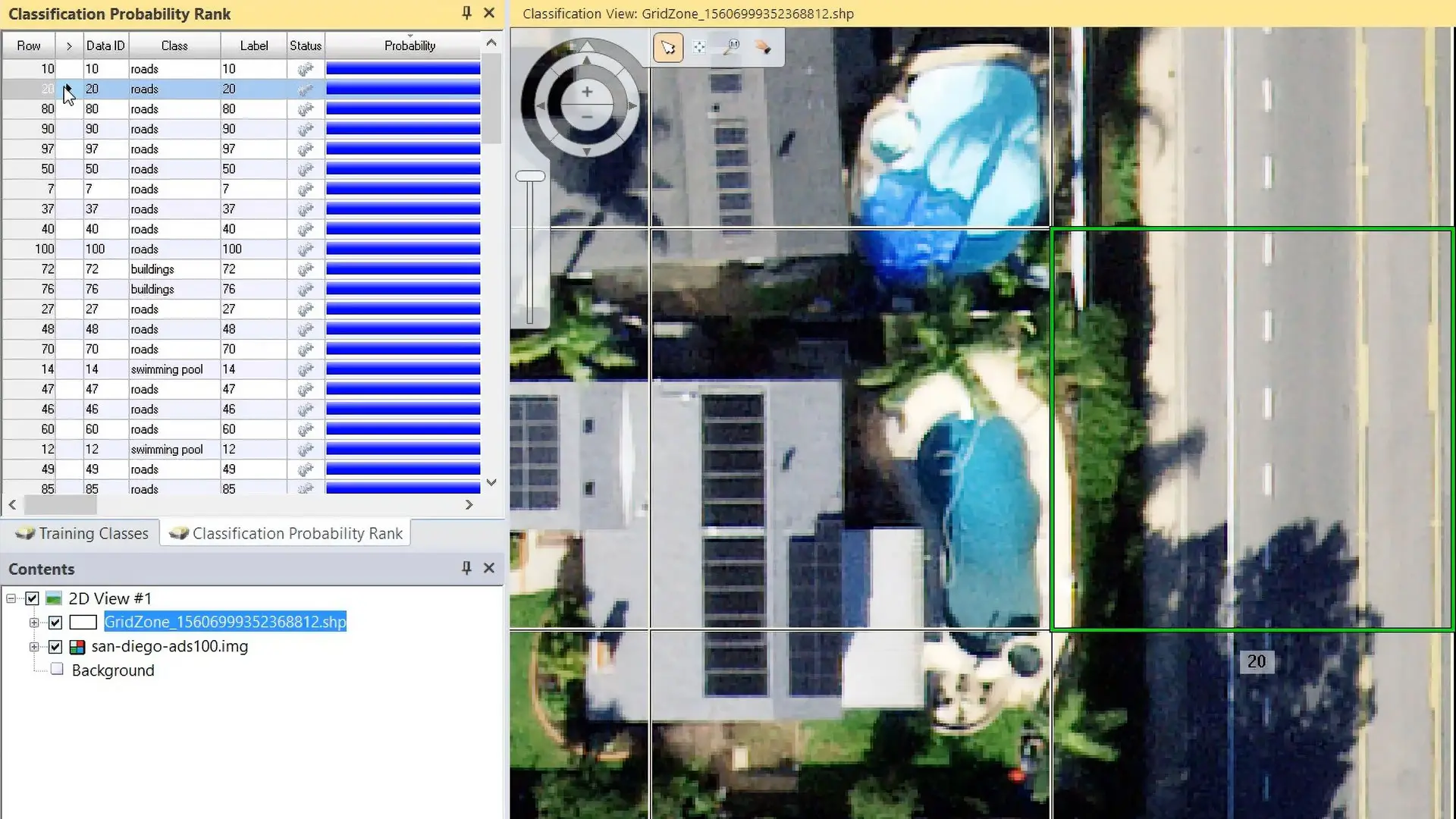
Key Features of Octave Spatial Modeler SDK
The tools and technology capabilities that help developers extend, customize and integrate geospatial processing workflows.
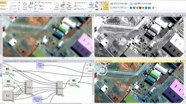
Custom C++ Plugin Architecture
Empower developers to build distinct operators and tools through a flexible plugin system.
- Build custom operators, data types, and configuration dialogs.
- Load components at runtime without altering the core source code.
- Customize the system precisely to business needs without affecting the original software.
Seamless Integration With Imagine And GeoMedia
Extend the capabilities of existing Octave software or embed directly into internal enterprise applications.
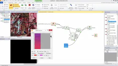
Proven Geospatial Processing Engine
Leverage a stable and reliable data processing backbone proven over decades.
- Handle complex tasks related to raster, vector, and point cloud data.
- Support workflows involving SAR, hyperspectral, LiDAR, and database data.
- Ensure custom logic runs on a reliable production grade engine.
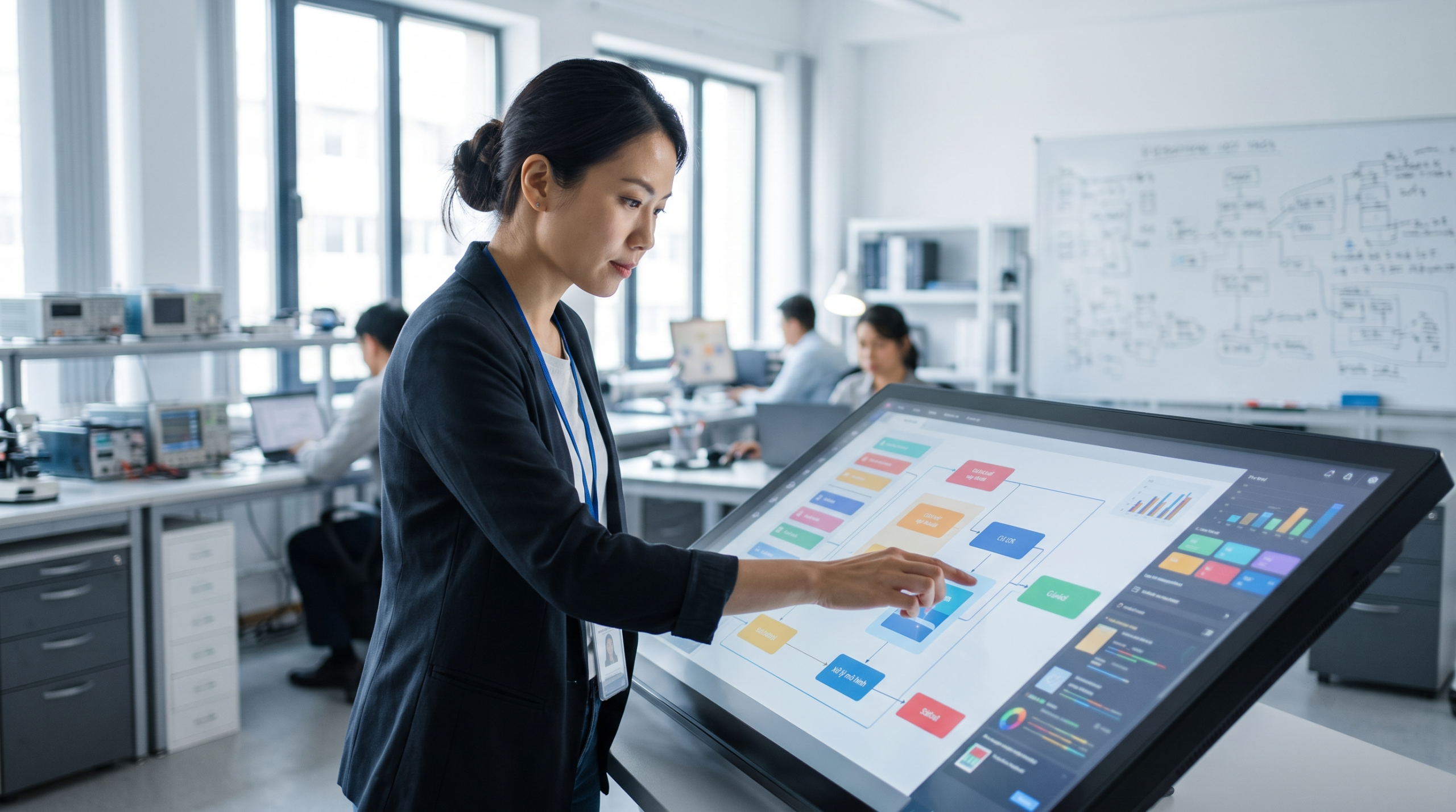
Visual Model Design And Execution
Build and refine workflows through a graphical interface without hardcoding every step.
- Combine operators visually to design processing workflows.
- Test logic and iterate quickly when building advanced processing chains.
- Allow both developers and analysts to participate in model design.
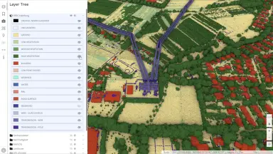
Automated And Repeatable Processing
Automate complex processing chains to ensure consistent and repeatable results across all projects.
- Minimize manual steps in the data analysis workflow.
- Standardize outputs for large scale geospatial projects.
- Scale workflows from small analyses to enterprise level processing tasks.
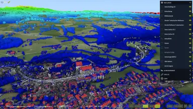
Advanced Multi Data Modeling
Combine different data types within the same model to create more comprehensive analyses.
- Integrate raster, vector, and point cloud data within the same workflow.
- Create advanced workflows that combine multiple data formats.
- Deliver richer and more detailed geospatial outputs.
Core Values Delivered by Octave Spatial Modeler SDK
Real business benefits that help companies save time, optimize cost and operate reliably.
Flexible Extensibility With C++ Plugin Architecture
Accelerate tool development and easily adapt to new data needs without disrupting the system.
- Create custom operators quickly.
- Extend existing tools without changing the core source code.
- Easily scale as enterprise data needs grow.
Easy Integration Or Standalone Embedding
Optimize development costs through code reuse and rapid deployment across multiple platforms.
- Reuse logic code across different platforms.
- Reduce development costs by sharing common logic.
- Deploy add ons to the market or internally rapidly.
Reliable Processing For Raster, Vector, And Point Cloud
Maintain stable performance and minimize manual data processing programming time.
- Handle big geodata reliably.
- Reduce coding time for basic data processing tasks.
- Maintain stable performance across different data types.
Frequently Asked Questions About Spatial Modeler SDK
A C++ toolkit for building, modifying, and running advanced geospatial data processing workflows.
- – It is a C++ toolkit used to build, modify, and operationalize advanced geospatial workflows.
- – It can function as custom add ons or be embedded inside your own applications.
- – It provides a solid foundation for developers looking to extend existing systems.
Designed for experienced C++ developers looking to create new operators or automate workflows.
- – Intended for experienced C++ programmers.
- – Suitable for those wanting to create new operators or automate workflows.
- – Supports those looking to extend functionality for Imagine and GeoMedia.
Create operators, data types, and configuration dialogs that are automatically discovered at runtime.
- – Create new data processing operators.
- – Define custom data types and data conversions.
- – Build configuration dialogs that the system automatically discovers at runtime.
You can absolutely build add ons for Imagine, GeoMedia, or run it within your own software.
- – Build add ons directly for Imagine and GeoMedia.
- – Run SDK workflows inside your own software.
- – Ensure high compatibility with the Octave software ecosystem.
Supports raster, vector, point cloud, SAR, hyperspectral, LiDAR, and databases.
- – Process raster, vector, and point cloud data.
- – Support SAR, hyperspectral, and LiDAR data.
- – Integrate smoothly with database workflows.
You can build operators to automate workflows and execute tasks at scale.
- – Build specialized operators to automate workflows.
- – Execute routine geospatial processing tasks at scale.
- – Minimize manual intervention and increase result accuracy.
The SDK automatically loads DLLs in the search path and identifies SDK components.
- – Automatically loads all DLL files located in the system search path.
- – Identifies Spatial Modeler SDK components implemented within those files.
- – Operates in the background without requiring complex manual configuration.
You can embed SDK capabilities directly into your own product.
- – Embed SDK capabilities directly into your own software product.
- – Customize geospatial processing workflows according to specific requirements.
- – Operate independently without relying on the Octave interface.
Contact For Consultation And Spatial Modeler SDK Pricing
Customers and partners interested in learning more about the Octave Spatial Modeler SDK solution please contact the TrueTech technical team directly to receive in depth support and the best pricing.
30 years of experience in the field of surveying technology and engineering software
Direct technical support from TrueTech engineers
Consulting, demonstration and deployment based on real operating needs

