
Geospatial Intelligence Platform
The web-based geospatial data and imagery analysis solution, evolved from M.App X, delivering real-time intelligence access and sharing capabilities.
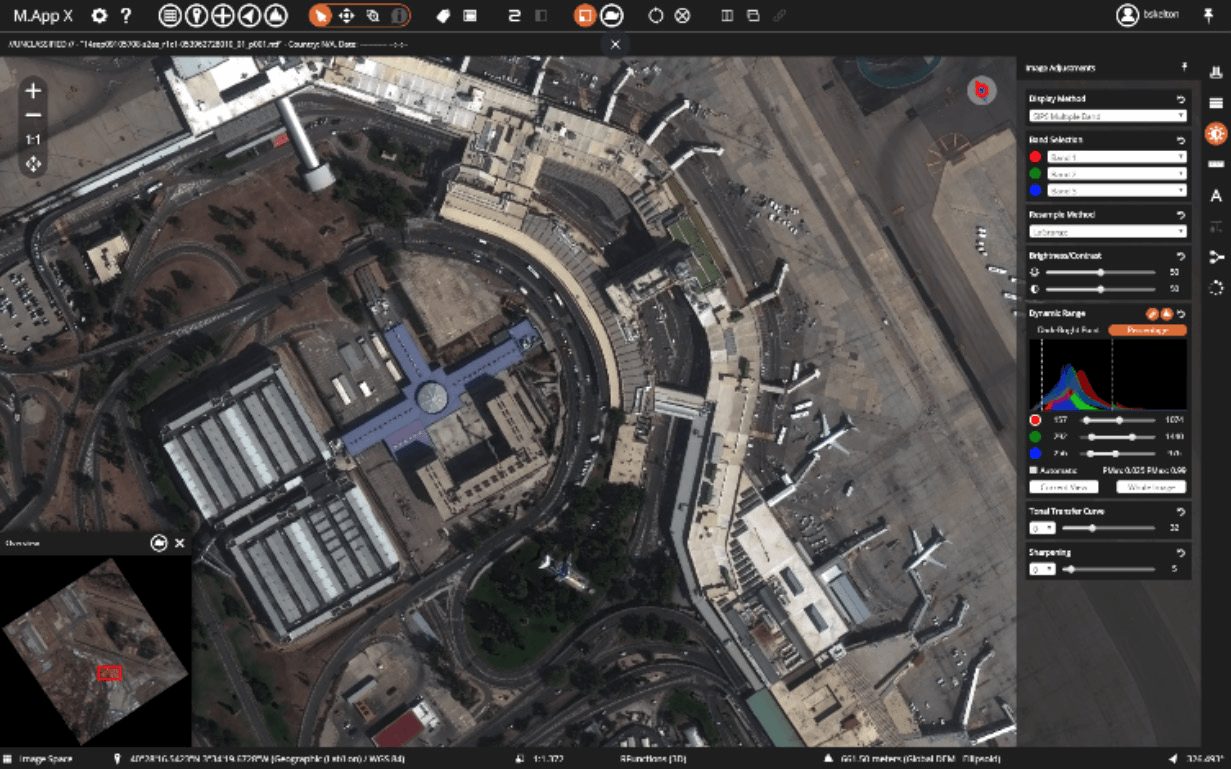
Octave Imagine Web Features
The core feature set that lets teams view, analyze, measure, annotate and report on imagery without a complex working environment.
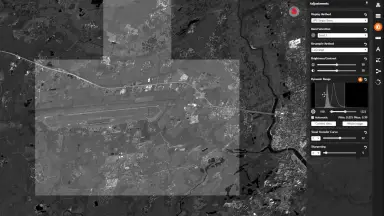
Contextual Imagery
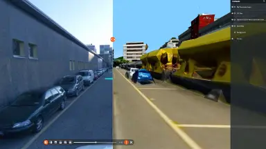
Explore imagery in image space, map space or 3D views to understand location and surroundings, and switch easily to gain the right perspective.
- View imagery and maps in the browser with no desktop software required.
- Switch easily between image space, map space and 3D views.
- Choose the perspective that fits each analysis task with only a few switching actions.
- Understand the location, orientation and spatial relationships of the features of interest.
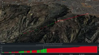
Enhanced Image Exploration and Analysis
Adjust imagery for clarity, compare images side by side and visually detect changes over time to quickly identify patterns, differences or areas of interest.
- Adjust imagery on the platform to improve interpretability, including band selection and resampling methods.
- Fine tune brightness, contrast and color balance using an interactive histogram.
- Apply image processing chains that meet the SIPS (Softcopy Image Processing Standard) specifications of the United States National Geospatial-Intelligence Agency (NGA).
- Compare images side by side and visually detect changes over time to identify patterns, differences or areas of interest.
- Group features into separate map layers and turn layers on or off, swipe layers away from others, or change the transparency of a layer to see the layer beneath.
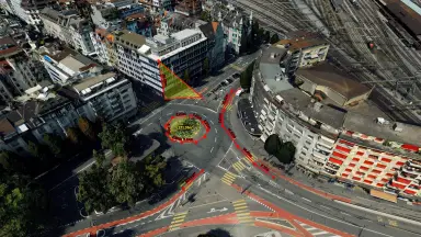
Confident Measurements
Perform measurements directly on imagery with high accuracy using rigorous sensor models.
- Measure distance, area, perimeter, height, bearing and angle directly on imagery.
- Use rigorous sensor models that incorporate precise elevation and sensor position information.
- Collect coordinates in 2D or 3D and edit feature attributes.
- Obtain reliable measurement results that support engineering assessment and decision making.
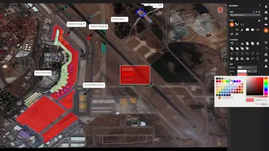
Easy Annotations
Add symbols, shapes, text and callouts to highlight important features, with automatic saving and full reuse.
- Add symbols, shapes, text and callouts to highlight important features.
- Annotations are saved automatically and can be reused or shared across the organization.
- Annotations are saved automatically and can be reused or shared across the organization.
- Use a rich styling library of symbols, lines, brushes, polygons and text for maps and reports.
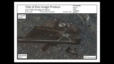
Streamlined Report Creation
Turn imagery and analysis into clear, structured reports and export to common formats for easy sharing.
- Turn imagery and analysis into clear, logically structured reports.
- Export results to common formats such as PDF and PowerPoint for easy sharing.
- Create simple, reusable reports for recurring tasks.
- Make maps and reports more illustrative and interpretable with a rich styling library.
Single Web Platform
Bring all users to the same data and tools in the browser, reducing the number of workstations and simplifying IT management.
- All users access the same data and tools through the browser.
- Reduce the need for multiple high-performance workstations for each analyst.
- All computation is performed on the Octave Imagine Web server, so system resources are always efficiently utilized and balanced across users.
- Update software centrally on the server instead of updating individual workstations.
- Responsive web design adapts to screen size, platform and orientation, supporting desktop, laptop and tablet.
Core Business Values
Practical business benefits that optimize budgets and enhance decision-making efficiency.
Immediate Cost Savings
Significantly reduce administration and hardware costs through centralized web architecture.
- Reduce the need for expensive workstations for every analyst.
- Lower software licensing costs with a single integrated platform.
- Update only the server, eliminating individual workstation updates.
Faster Decision Making
Provide actionable real-time intelligence through a unique spatial data modeling environment.
- Near-immediate feedback and previews during data analysis.
- Desktop-like performance in a web environment.
- Rapid dynamic view updates with real-life visualizations.
Customizable User Experience
Extensible geoprocessing environment allowing integration of best practices from domain experts.
- Allow experts to integrate optimal workflows.
- Third-party software providers can add new features promptly.
- Based on open standards to ensure compatibility.
Efficient System Resource Usage
Optimize performance by performing all computations on the server rather than local workstations.
- Robust support for remote and mobile users.
- Balance performance to meet the needs of all current users.
- Eliminate costs of maintaining expensive legacy applications.
Easy Dissemination and Sharing
Ensure field users and decision makers always have instant access to the latest information.
- Easily share intelligence and collaborate on projects.
- Standard web platform requires no format conversion before distribution.<
- Responsive web design automatically adapts to screen size.
Applicable Industries
Solutions specifically designed for organizations handling complex geospatial information.

Defense and Intelligence
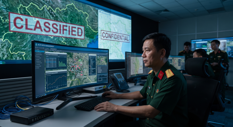
Support defense agencies in creating, commonly using, and securely sharing the latest intelligence.
- Manage geospatial intelligence amidst escalating global tensions.
- Provide real-time actionable information to mobile units.
- Collect and archive massive amounts of disparate data.
Security and Emergency Response
Provide rapid situational awareness for decision making in crisis situations.
- Quick access to updated imagery and map data.
- Coordinate actions between field teams and command centers.
Frequently Asked Questions about Octave Imagine Web
- – It is Octave’s web-based imagery analysis solution.
- – It allows users to view, analyze, annotate, and share imagery directly in the browser.
Yes, Octave Imagine Web is the new name for the product previously known as M.App X.
No, the software is designed to be easy to use, even for nonexperts, thanks to intuitive tools and workflows.
No, the software runs in a standard web browser, so users do not need to install desktop applications.
Yes, the software can be deployed on-premises or in the cloud to meet organizational security requirements.
Contact TrueTech for Octave Imagine Web Consulting
Get solution advice, technical support and a deployment quotation matched to your infrastructure.
30 years of experience in measurement technology and engineering software.
A trusted engineering software solution provider.
Flexible on-premises or cloud deployment.

