Continuous HF Radar System for Surface Current Mapping and Wave Monitoring
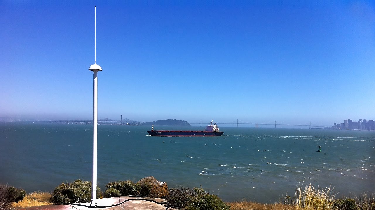
The SeaSonde HF radar system by CODAR Ocean Sensors is your premier solution for making continuous, wide-area ocean observations. It is the only solution that allows for the collection of real-time data continuously over many years on a large scale, with ranges up to 200km. SeaSonde is a compact, non-contact system that can be deployed and maintained easily, performing reliably even during extreme weather conditions such as hurricanes.
Key Technical Features of the SeaSonde Radar System
Explore the core technologies and engineering capabilities that make SeaSonde the leading HF radar system for ocean observation.
Non-Contact Design
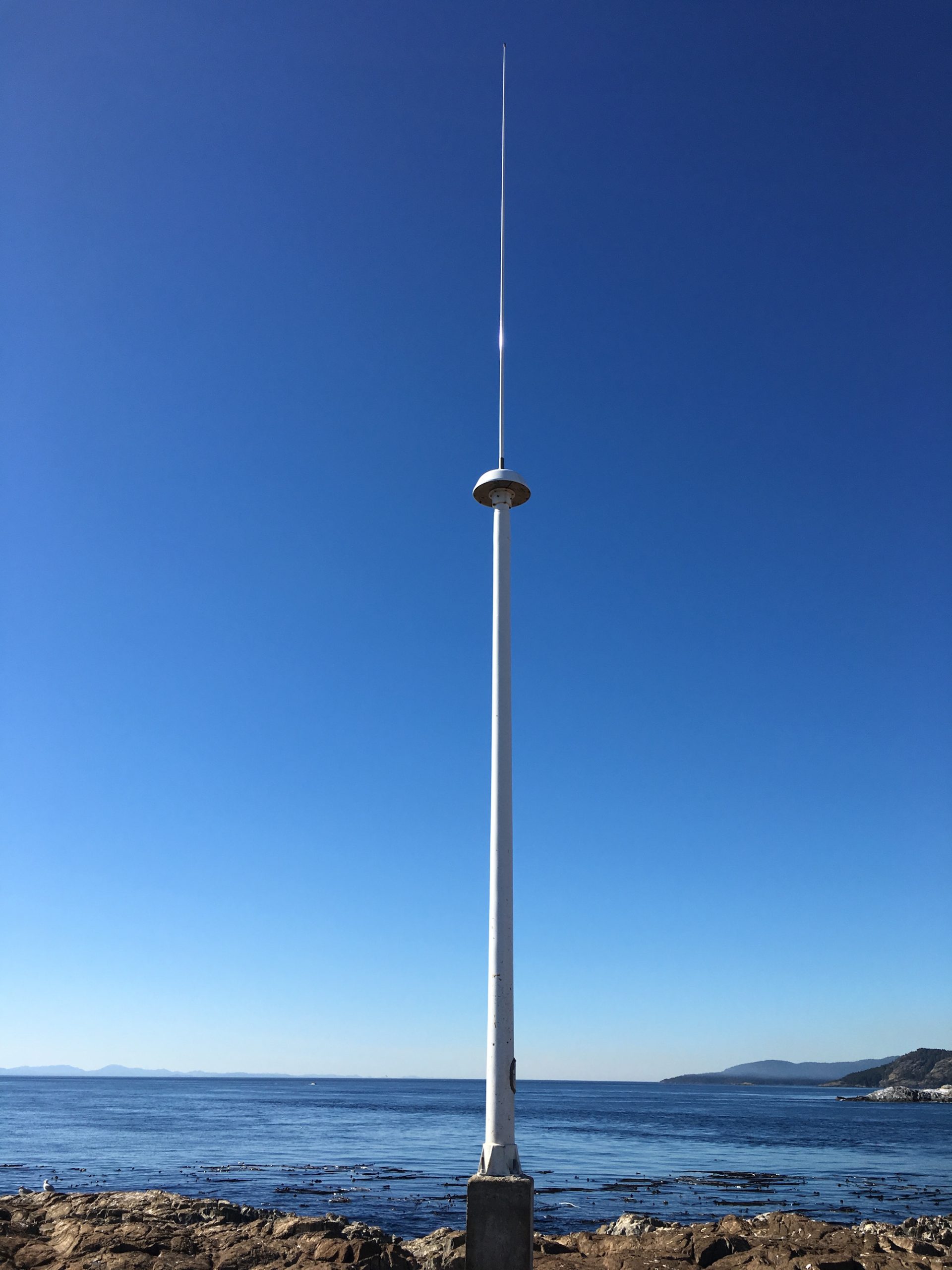
Completely eliminating physical interference with the water environment.
- A truly non-contact sensor, ensuring the integrity of the natural marine environment.
- All hardware is safely located on the coast or on offshore structures.
- Patented, ultra-compact antenna design greatly simplifies siting requirements.
360º Coverage
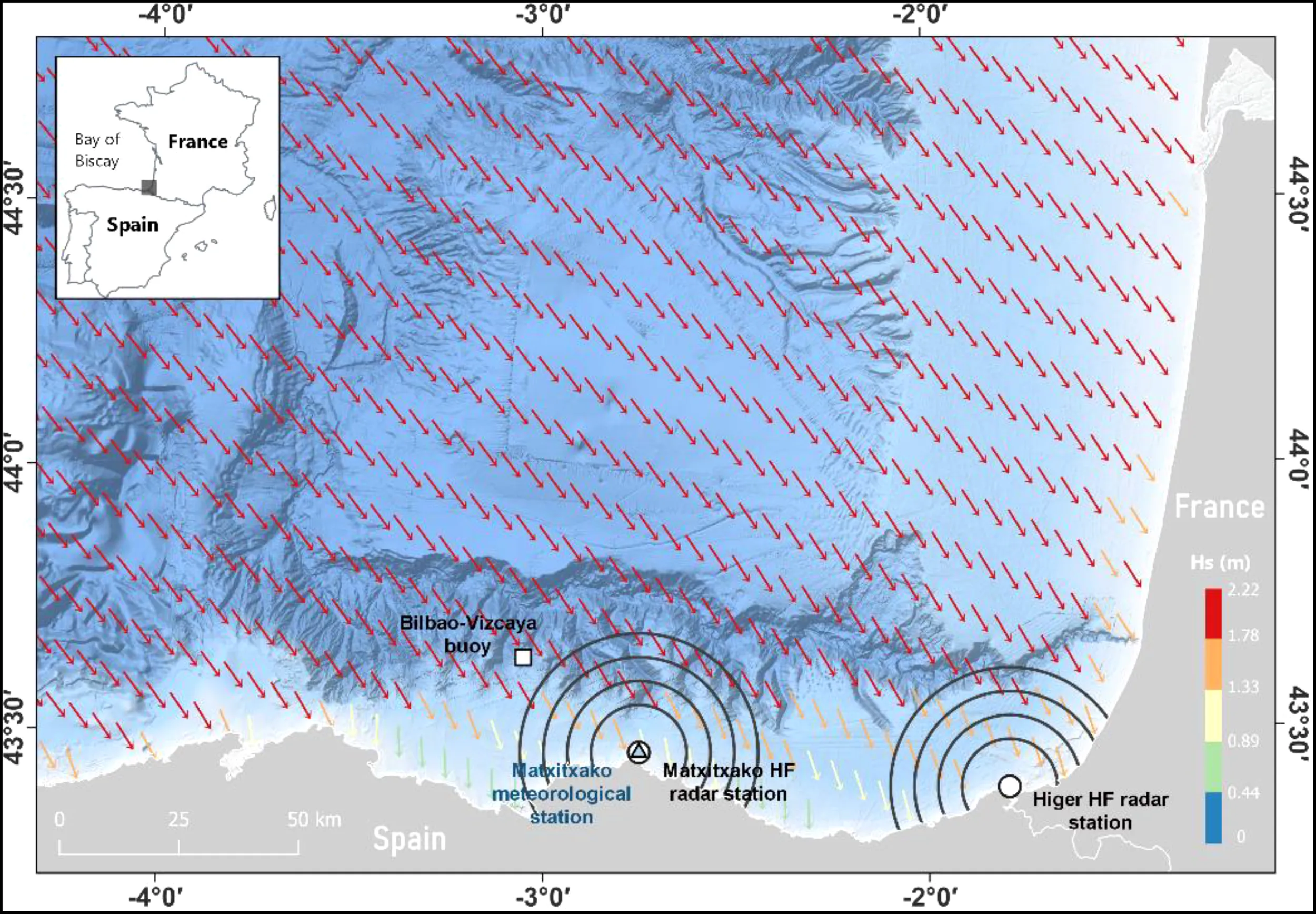
Comprehensive data collection powered by proprietary antenna technology.
- Patented antenna design and processing algorithms enable the system with up to 360º coverage.
- Patented pulsed FMCW technology eliminates range aliasing.
- Reduces antenna wind-vibration noise inherent to other HF system designs.
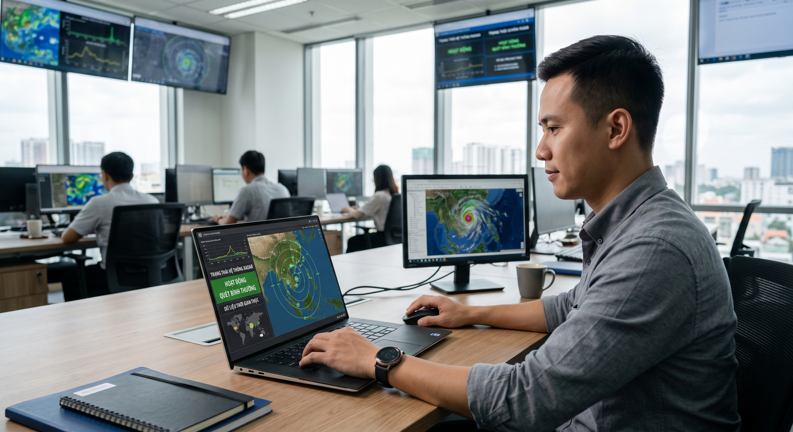
Automation and Remote Access
Smart system and data management anytime, anywhere.
- Data can automatically arrive at your central office at your preferred intervals.
- Data can also be sent directly to the Web for public viewing and sharing.
- Data retrieval, system monitoring, parameter modifications, and factory support are all conducted through system remote access.
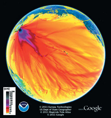
Cross-Platform Compatibility
Seamless integration into numerical models and GIS software.
- All data products are stored as standard ASCII files.
- Allows convenient data transfer to various computer platforms.
- Easy incorporation into numerical circulation models and Geographic Information Systems (GIS) programs.
Detailed Technical Specifications
Summary of system configurations and measurement capabilities.
| Specification | Standard | Hi-Res | Long Range |
|---|---|---|---|
| Observable Range (Currents) | 50 to 100 km | 10 to 20 km | 160 to 220 km (340 km Dual TX) |
| Range Resolution | 500 m to 3 km | 200 to 500 m | 3 to 12 km |
| Frequency Range | >11 to 25 MHz | 20 to 50 MHz | 4.3 to 11 MHz |
| Transmit Antenna Height | 9.1 m | 6.4 m | 6.4 to 7.6 m |
| Power Consumption | ~350 W (depending on config) | ~350 W (depending on config) | ~350 W (depending on config) |
Ranges achieved vary with environmental conditions and antenna placement. Two radars are normally required for creating 2-D surface current maps of direction and speed.
Core Values Delivered
Business benefits and investment efficiency gained by using the solution.
Operational Cost Savings
Minimizing maintenance needs and optimizing energy usage.
- Low power consumption allows for working off-the-grid with alternative energy sources.
- Compact design minimizes land-use footprint, meeting strict coastal aesthetic requirements.
- Reduced maintenance costs due to no parts directly contacting the corrosive saltwater environment.
Reliability in Extreme Conditions
Stable operation even during hurricanes or severe weather.
- All system hardware and software are developed for continuous, long-term field operations.
- Ensures consistent and reliable data outputs in all situations.
- Performance is maintained even in extreme weather conditions such as hurricanes.
Focus on Application
Optimizing work without requiring deep radar technical expertise.
- SeaSonde is an off-the-shelf tool, allowing users to focus on applying the data rather than the technology of collecting it.
- Highly flexible software parameters designed to work smoothly without requiring users to be programmers or radar experts.
- Immense aid for guiding search and rescue operations or providing critical information to maritime vessels.
Application Industries
Sectors and organizations that directly benefit from SeaSonde observation data.
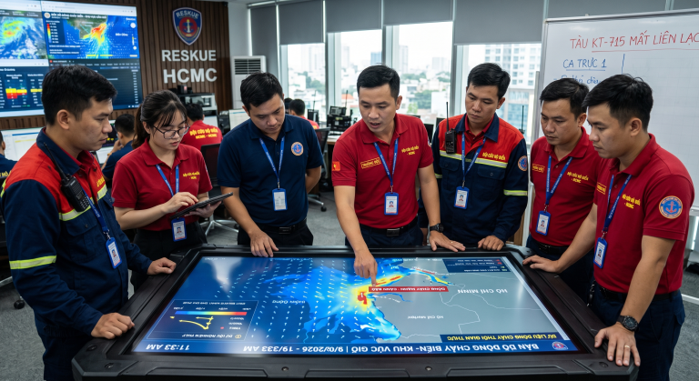
Search and Rescue
Supporting positioning and navigation in emergency maritime operations.
- Provides real-time surface current data to predict the drift trajectory of objects.
- Enhances the efficiency and response speed of search and rescue teams.
- Supports safe route planning for rescue vehicles.
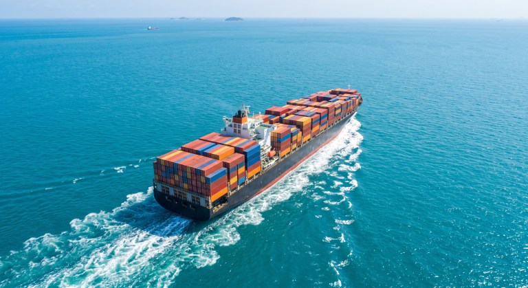
Maritime and Ports
Providing critical current information for vessels entering and leaving ports.
- Assists pilots in navigating large ships through narrow channels.
- Monitors environmental conditions to ensure safety for cargo handling operations.
- Optimizes port entry and exit schedules based on accurate hydrographic data.
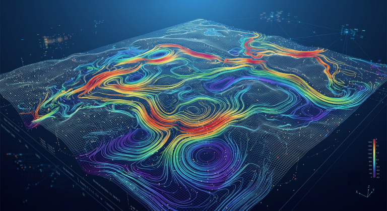
Ocean Circulation Modeling
Accurate input data for advanced numerical models.
- Provides high-accuracy 2-D surface current velocity data.
- Supports scientists in improving and validating oceanographic forecast models.
- Contributes to research on climate change and coastal dynamics.
Frequently Asked Questions
Information on distance and resolution depending on configuration.
- – The Long Range configuration can achieve a range of 160 km to 220 km.
- – With a Dual TX configuration, the range can be extended up to 340 km.
- – Actual ranges achieved vary with environmental conditions and antenna placement.
Capability to use alternative energy sources at remote locations.
- – SeaSonde has low power consumption, approximately 350 W depending on configuration.
- – The system is designed to work well with alternative energy sources such as solar or wind power.
- – Suitable for observation stations in remote or offshore locations without national grid power.
Contact Us for SeaSonde Radar Solutions
TrueTech's team of experts is ready to assist you from technical consulting to system deployment and maintenance.
Official partner of CODAR Ocean Sensors in Vietnam
Over 30 years of experience in measurement technology and engineering software
Nationwide support for consulting, deployment, and maintenance

