
Comprehensive Geospatial Data Management And Publishing Platform
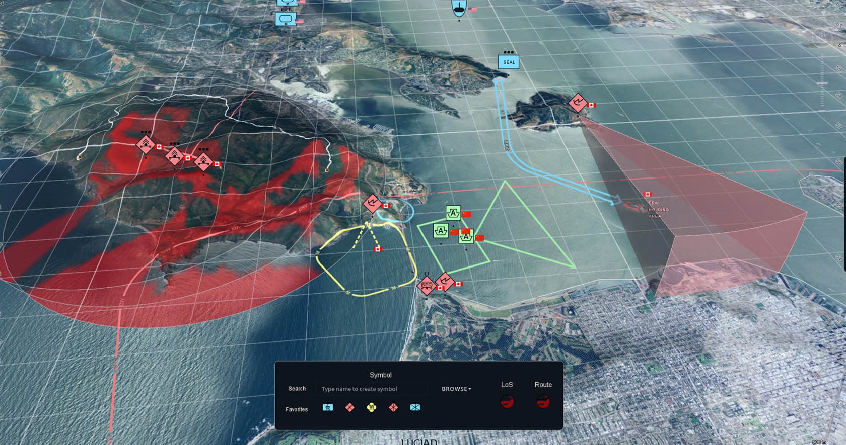
Key Features of Octave Alto Server
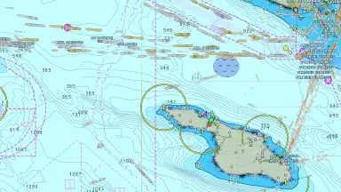
Seamless Connectivity To Over 200 Data Formats
- Connects natively to over 200 geospatial data formats including vector, raster, and 3D meshes.
- Processes specialized formats seamlessly such as multispectral imagery, 4D weather data, and point clouds.
- Combines data from local storage, networks, and cloud platforms into a single service environment.

Fast Tiling And Streaming Engine
- Automatically creates multilevel and tiled data structures for efficient streaming.
- Rapidly processes large datasets such as satellite imagery, 3D terrain, and reality meshes.
- Preserves links to original data attributes throughout the optimization and distribution process.

OGC Compliant Data Publishing
- Fully supports open standards such as WMS, WMTS, WFS, WCS, CSW, and 3D Tiles.
- Allows drag and drop service setup in under a minute with no coding required.
- Includes INSPIRE and DGIWG directives for government and defense agencies.
Smart Cataloguing And Automatic Updates
- Automatically crawls repositories to discover new data and gather metadata.
- Schedules periodic crawling to automatically update services when new data changes occur.
- Provides a centralized catalog management interface via the browser based Alto Server Studio.
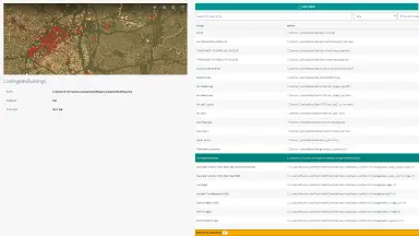
Intuitive User Management Interface
- Provides Alto Server Studio with a graphical interface and integrated data preview capabilities.
- Allows uploading, organizing, and publishing data to any service with just one click.
- Supports detailed access control based on role, scale range, or geographic area.
Technical Specifications And Product Tiers
| Functionality | Essential | Advanced | Pro |
|---|---|---|---|
| Core GIS engine & 4D Geometry | |||
| Projection & Transformation engine | |||
| Raster / Vector connectors | |||
| Point clouds & Reality meshes | |||
| OGC standards & Tiling engine | |||
| Data management & Catalog | |||
| Advanced GIS & Real time engine | |||
| Database & Terrain analysis | |||
| Weather & Graph routing | |||
| Infrastructure & Aviation standards | |||
| Defense & Maritime standards (S-63) | Optional Add-on |
Core Values for Your Organization
The practical benefits Octave Alto Server delivers to help your organization unlock the full power of geospatial data.
Accelerated Operational Decision Making
- Establishes a Common Operating Picture (COP) combining multiple data sources and military symbology.
- Visualizes millions of dynamic events or locations such as flights, vessels, and moving assets.
- Performs client side analytics with high interactivity comparable to desktop solutions.
Operational Cost And Time Optimization
- Works with data and maps in different projections without going through extract transform and load (ETL) processes.
- Automates cataloging and data publishing to significantly reduce manual setup time.
- Minimizes data errors through automated synchronization and source updates.
Cross Platform Interoperability And Scalability
- Deploys flexibly on local systems, attached networks, or cloud storage like Amazon AWS and Docker.
- Integrates custom authentication solutions and fine tunes access control based on organizational needs.
- Easily adds new formats, styling rules, and analytics via an open API interface.
Industry Applications of Octave Alto Server
Octave Alto Server serves diverse industries requiring accurate, real-time, and standards-compliant geospatial data.

Defence and Security
- Fully integrates military formats such as ADRG, CADRG, NITF, and VPF.
- Supports APP-6 and MS2525 defense symbology along with Night Vision Goggle (NVG) rendering.
- Provides terrain analysis and viewshed calculations for mission planning.

Aviation And Transportation
- Models aeronautical data according to AIXM, ARINC 424, and DAFIF standards.
- Integrates dynamic weather data like NetCDF ISC and GRIB to provide early risk warnings in the air.
- Supports route planning and solves complex routing challenges.

Maritime And Port Management
- Displays electronic navigational charts complying with IMO and IHO standards including S-57, S-52, and S-101.
- Supports S-63 chart encryption to ensure maritime information security.
- Builds centralized data platforms for smart ports and vessel monitoring systems.

Environmental Monitoring And Meteorology
- Visualizes 4D weather data with time varying information and atmospheric conditions.
- Combines air quality sensor data and wind patterns to assess environmental impacts.
- Processes multispectral satellite imagery for climate change and natural resource tracking.
Frequently Asked Questions About Octave Alto Server
- – The LuciadFusion product has been renamed to Octave Alto Server in the latest vendor portfolio.
- – The platform retains its scalable capabilities and support for hundreds of geospatial data formats.
- – The system continues to serve as the server side component for delivering accurate data to all applications.
Octave Alto Server is used by organizations that manage large or diverse geospatial datasets, such as defence agencies, transportation authorities, and mapping or weather services. It helps them publish reliable, up-to-date information for operational awareness and analysis across many systems.
Octave Alto Server supports raster, vector, 3D meshes, point clouds, weather data, panoramic imagery, and many domain-specific formats. It connects to more than 200 data formats and can serve them directly without preprocessing.
The platform shares data using open OGC standards such as WMS, WMTS, WFST, WCS, CSW, and 3D Tiles. This ensures that any compliant application: desktop, web, or mobile. They can access the same accurate and consistent information.
Yes. Alto Server Studio offers a browser-based interface where users can upload, organize, preview, and publish data in just a few clicks. It is designed to make data management straightforward and accessible across teams.
Octave Alto Server can automatically crawl data sources, gather metadata, and detect changes. You can schedule updates so new or modified datasets are picked up and published automatically, ensuring users always access the latest version.
Yes. You can extend Octave Alto Server with custom data formats, styling rules, analytics, or entirely new service types. It is flexible enough to support specialized domain requirements, including defence, aviation, maritime, and infrastructure data.
Contact Us for Octave Alto Server Consultation
With over 30 years of experience in surveying technology and engineering software, TrueTech is Octave's official authorized partner in Vietnam. We provide end-to-end solution consultation, deployment, integration, and training services for Octave Alto Server.

