Mobile Mapping System for 3D Data Collection
A Mobile Mapping System is an advanced spatial data collection solution flexibly mounted on transport vehicles such as cars, trains, boats, or carried by personnel. This solution provides the ability to capture detailed environmental surroundings with speed and accuracy that traditional survey methods can hardly achieve.
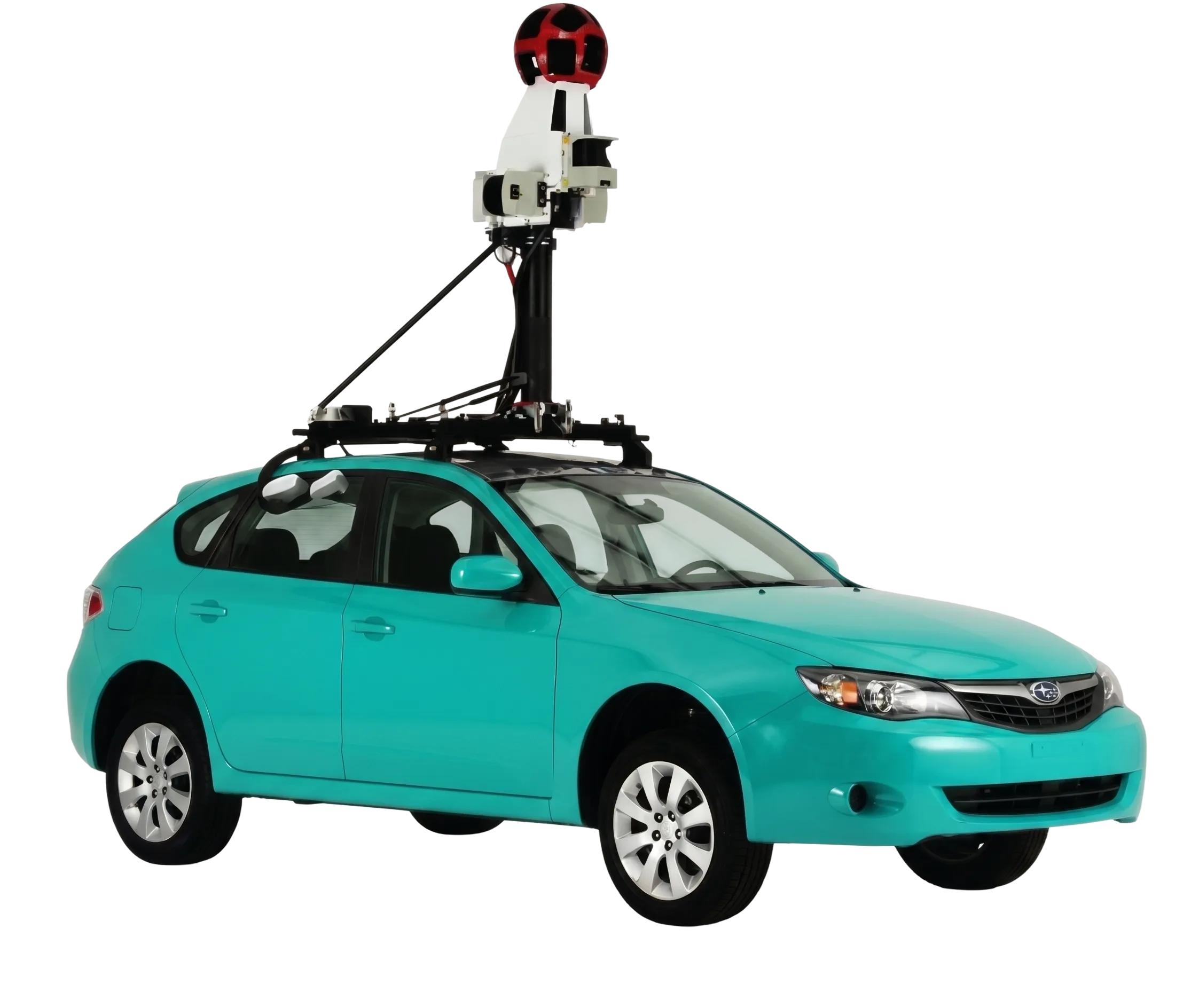
Outstanding Technological Features
Discover the superior technical capabilities of the mobile mapping system.
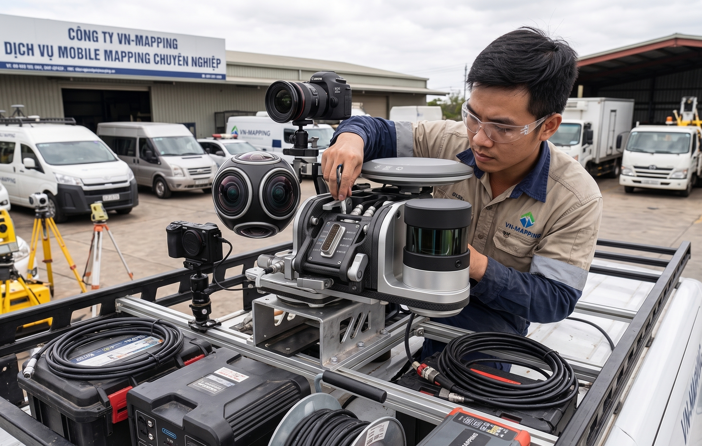
Rapid Integration And Field Deployment
Flexible adaptability with various sensor devices and transport vehicles.
- The system rapidly and accurately collects geographic data at a high level of detail.
- Particularly beneficial in urban areas where traditional surveying is restricted during peak hours.
- A basic configuration includes a vehicle equipped with positioning sensors (GNSS/IMU) and a laser scanner (LiDAR).
- Can be expanded by attaching digital cameras (e.g., Topcon IP-S2 series) or specialized sensors such as thermal cameras and Ground Penetrating Radar (GPR)
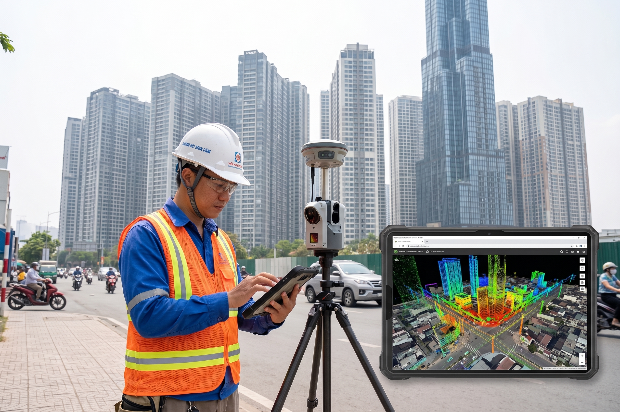
High Data Accuracy
Ensuring detailed measurement information even in environments with obstacles.
- Collects data more rapidly, accurately, and comprehensively than ever before for environmental surfaces and underground structures.
- Widely applied to survey road and railway projects and map urban environments.
- Accuracy is consistently maintained by a Wheel Pulse Transducer / Distance Measuring Instrument (DMI)
- This DMI device effectively compensates for positioning when GNSS signals are degraded or denied in urban canyons due to tall buildings or tree cover
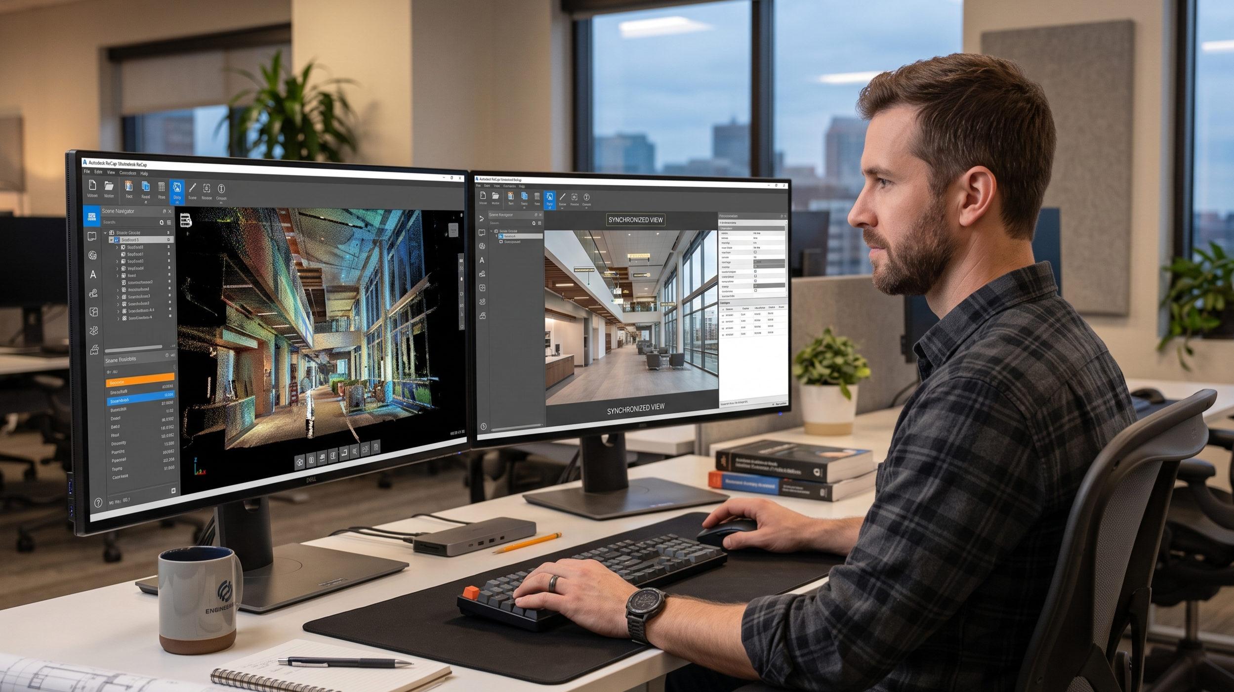
Simple Device Synchronization
Centralized operation process to minimize errors and labor effort.
- All component devices are connected and synchronized via a central control unit.
- Significantly reduces the operator's labor burden during the data collection process.
- The laser scanner continuously collects 3D coordinates of millions of points.
- Laser data combined with close-up images from a digital camera creates a 3D virtual reality of the landscape.
- Rich data results are conveniently processed in the office manually or through specialized software.
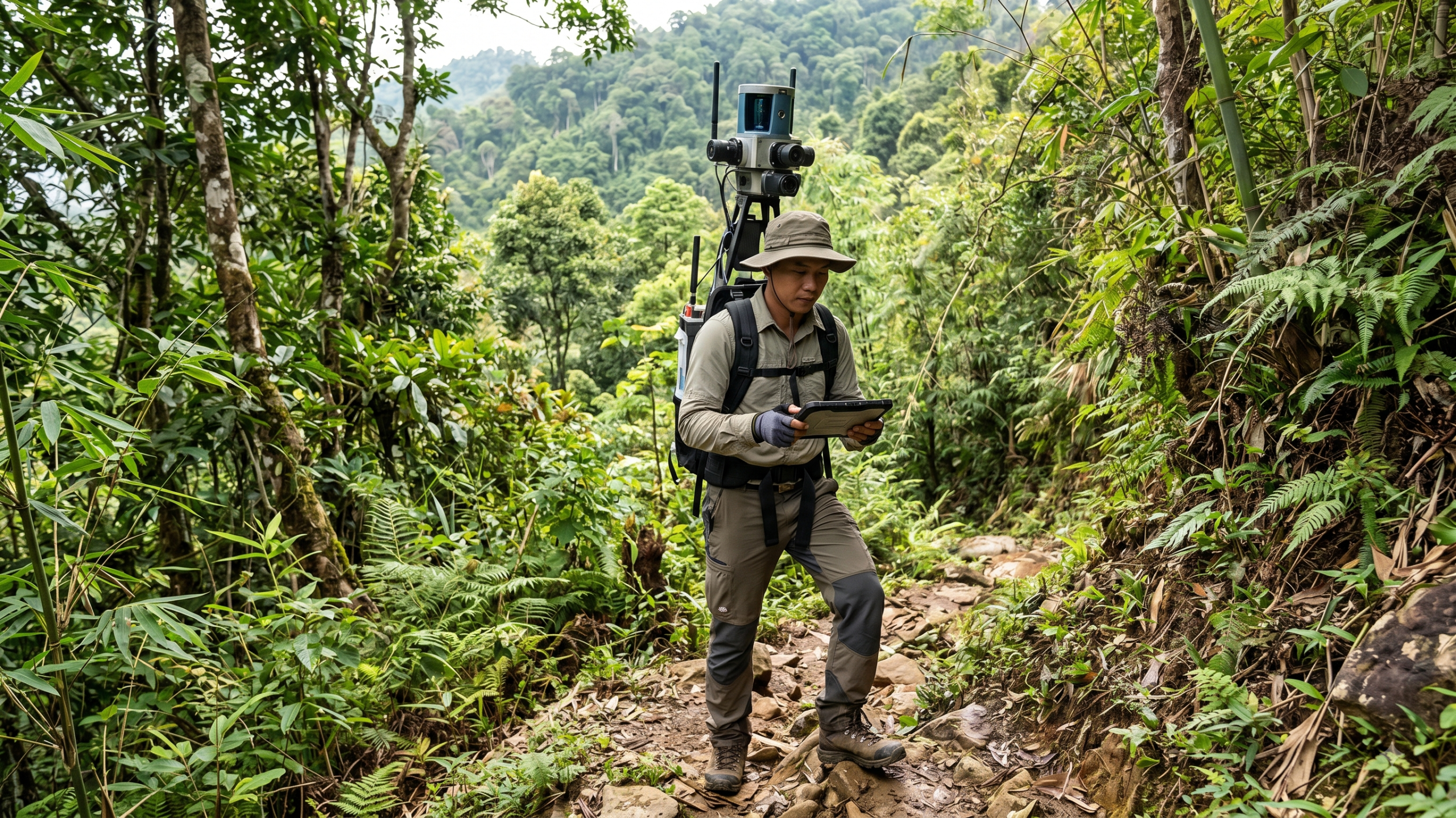
Adaptability To Diverse Terrains
Flexible operation in both accessible areas and rugged terrains.
- Easy installation capability and high customizability of the system.
- Allows data collection across various types of terrain.
- Operates effectively in hard-to-reach areas or complex topographical conditions.

Reduced Data Collection Time
Optimizing project schedules compared to traditional survey methods.
- Provides a superior advantage when mapping large or hard-to-reach areas.
- Environments that previously took weeks to survey now require only a few days.
- Significantly improves overall project efficiency and productivity.
Core Values Delivered To Your Business
Enhanced Work Productivity
Completing large workloads in a shorter time.
- Transforms the survey process from weeks to days.
- Automates data collection, allowing personnel to focus on analysis.
- Optimizes the overall schedule of large-scale infrastructure projects.
Optimized Operational Costs
Minimizing manpower and downtime during survey operations.
- Reduces the number of personnel required for a field survey shift.
- Minimizes the need to return to the site due to missing data.
- Saves long-term logistical and vehicle operating costs.
Improved Data Reliability
Making decisions based on a foundation of accurate and complete information.
- Eliminates human error in the manual measurement process.
- Provides high-density Point Cloud data for in-depth analysis.
- Ensures data consistency and integrity throughout the project lifecycle.
Outstanding Application Fields
Flexible solutions serving diverse industries requiring high precision.
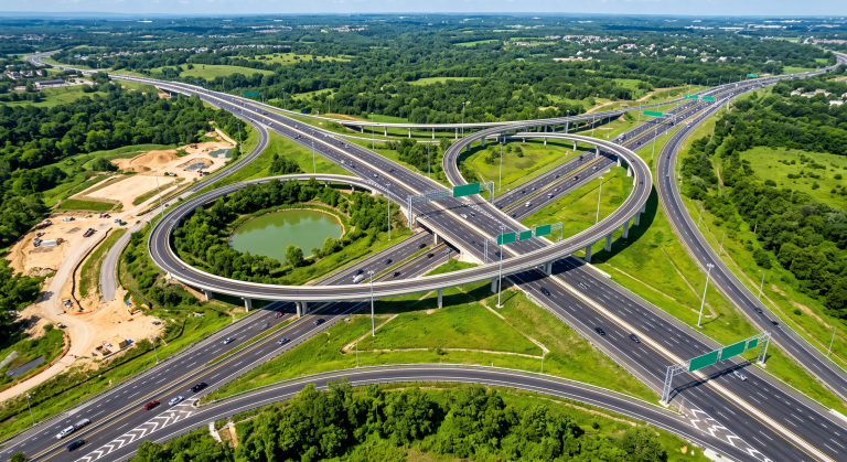
Transportation Infrastructure Survey
Collecting detailed data for roads, railways, and bridges.
- Accurately records signs, roads, and public utility networks.
- Supports planning for transportation system upgrades and maintenance.
- Integrates data for Building Information Modeling (BIM).

Urban Asset Management And GIS
Building spatial databases for city planning.
- Collects road asset data to establish a Geographic Information System (GIS) database.
- Efficiently captures trees and public works.
- Serves urban planning and 3D city modeling efforts.
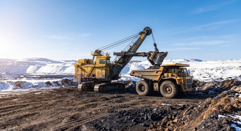
Mine And Construction Volume Measurement
Accurately calculating the volume of excavations, landfills, and boreholes.
- Applies laser scanning technology to determine material volumes.
- Supports monitoring of mining progress and waste dump management.
- Provides accurate input data for volume calculation software.

Emergency Response And Natural Disasters
Rapidly assessing damage from tornadoes, earthquakes, or infrastructure failures.
- Provides first-response assessment after natural disasters occur.
- Quickly records the current state to plan consequence mitigation.
- Supports integration with other spatial data collection systems in emergency situations.
Frequently Asked Questions
Error compensation mechanism using specialized distance measuring equipment.
- – The system uses a Distance Measuring Instrument (DMI) attached to the wheel.
- – This device maintains positioning accuracy when GNSS signals are blocked by buildings or trees.
- – Ensures continuous and uninterrupted data in complex urban environments.
Broad compatibility with point cloud processing platforms.
- – Rich data can be conveniently processed in the office.
- – Compatible with specialized Point Cloud and GIS processing software.
- – Supports exporting data to various common formats for deeper analysis.
Connect With TrueTech Experts
TrueTech has extensive experience in providing Mobile Mapping services to the world's leading map service companies. We stand ready to offer consulting services for the solution that best fits your project requirements.
30 years of experience in surveying technology and engineering software
Dedicated team of technical experts ready for consultation and deployment support
Customized solutions to fit each project type and budget

