
Photogrammetry Software For Large-Scale Mapping Production
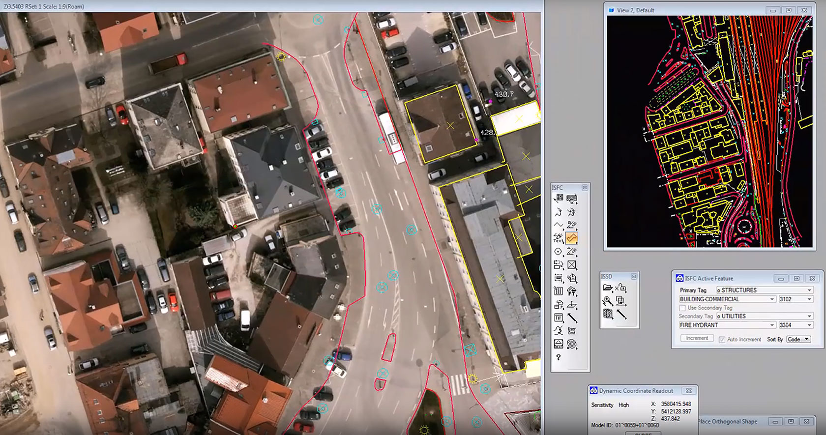
End To End: From Raw Imagery To Finished Mapping Products
A single platform covering the complete photogrammetry pipeline, eliminating the need for multiple disconnected software tools. Octave ImageStation provides a complete toolset for every step in the production photogrammetry workflow. Its modular design enables flexible deployment from small projects to national mapping programs while maintaining rigorous quality control throughout.
Project Setup and Data Import
Automated Triangulation
DTM and DSM Generation
Stereo Feature Collection and Editing
High-Volume Orthophoto Production
Quality Control and Terrain Editing
In-Depth Feature System For Large-Scale Map Production
Automated Project Setup And Triangulation
- Octave ImageStation supports imagery from aerial cameras, ADS sensors, UAVs and satellites, enabling multi-source data projects to be built on a single unified management interface without format conversion.
- The Automatic Triangulation module uses photogrammetric algorithms to precisely determine position, orientation and interior parameters for each image, reducing project setup time from multiple days to a fraction compared to manual methods.
- Geometric quality checks are applied during triangulation itself, identifying faulty images or coverage gaps early so they can be removed before downstream processing, significantly reducing the rate of rework.

Stereo Feature Collection In CAD And GIS
- Octave ImageStation Feature Collection enables engineers to collect and edit 2D and 3D features directly from stereo imagery within MicroStation, with a 3D cursor that accurately tracks the spatial position of each measured point.
- The Stereo for GeoMedia module integrates stereo data collection and terrain editing directly within the GeoMedia GIS environment, eliminating the need to export and import data between different software applications.
- Stereo Display provides high-quality stereo imagery viewing within the CAD environment, supporting smooth stereo navigation and precise measurement for detailed mapping tasks.
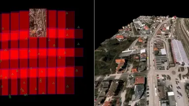
Automated Terrain And Surface Model Generation
- Octave ImageStation Automatic Elevations uses feature-based matching to automatically generate DTM from stereo imagery, suitable for projects requiring accurate terrain surfaces without extensive manual intervention.
- The Automatic Elevations DSM module applies dense matching techniques to create DSM and dense point clouds, capturing surface details including buildings, vegetation and man-made structures at high resolution.
- Both methods support large areas and varied terrain from flat plains to mountainous regions, integrating seamlessly with interactive editing workflows for result refinement.
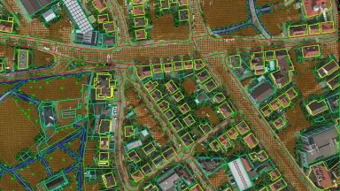
Interactive Terrain Editing And Quality Control
- Octave ImageStation DTM Collection provides tools for interactively collecting and editing elevation points and breaklines within the CAD environment, allowing engineers to refine terrain models in complex areas where automated algorithms need manual enhancement.
- The DTMQue module offers batch processing, format conversion and quality checking utilities for elevation data, helping production teams maintain consistent standards across entire projects.
- DTM for GeoMedia enables terrain data collection and editing directly within the GIS environment, facilitating integration of results into downstream analysis and map publishing workflows.
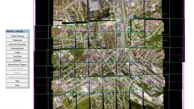
High-Volume Orthophoto Production
- Octave ImageStation OrthoPro for GeoMedia automates the entire orthophoto production process, from individual image orthorectification to mosaic assembly with intelligent seamline handling, minimizing misalignment artifacts and color inconsistencies between adjacent images.
- The PixelQue for GeoMedia module provides tools for reviewing, editing and enhancing orthophoto quality within the GIS environment, enabling QC teams to assess products in batches and mark areas requiring rework.
- The orthophoto production workflow in Octave ImageStation is optimized for large projects, processing thousands of images in a single batch run with automatic tone balancing and radiometric quality enhancement.
Scalable Processing For Large Datasets
- Octave ImageStation leverages multi-threaded processing architecture to maximize CPU resources on individual workstations, accelerating computationally intensive steps such as triangulation, DTM extraction and orthophoto production.
- With the HTCondor for Octave module, processing capability extends across multiple machines on the local network or computing cluster, enabling photogrammetry workloads to be distributed across dozens or hundreds of processing nodes simultaneously.
- High-performance storage architecture combined with ECW image compression reduces storage requirements by up to 95% compared to uncompressed formats while maintaining full image quality for photogrammetric workflows.
A Rich Module Ecosystem For Every Photogrammetry Need
Octave ImageStation offers an extensive ecosystem of add-on modules, allowing organizations to build photogrammetry solutions tailored to their specific scale and requirements. Each module is designed to operate independently or in combination with other modules in the suite.
ImageStation Photogrammetric Manager
ImageStation Image Formatter
ImageStation Automatic Triangulation
ImageStation Satellite Triangulation
ImageStation Feature Collection
ImageStation Stereo Display
ImageStation Stereo for GeoMedia
ImageStation Stereo Viewer for GeoMedia
ImageStation DTM Collection
ImageStation DTM for GeoMedia
ImageStation Automatic Elevations
ImageStation Automatic Elevations DSM
ImageStation DTMQue
ImageStation OrthoPro for GeoMedia
ImageStation PixelQue for GeoMedia
HTCondor for Octave
Photogrammetry Solutions For Diverse Industries
Octave ImageStation serves mapping and geospatial data management needs across multiple critical sectors
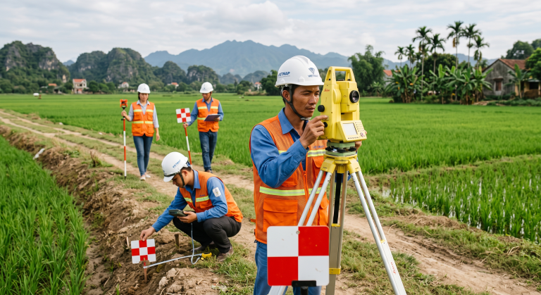
Surveying And Mapping
- Octave ImageStation provides a complete photogrammetry workflow from triangulation to orthophoto, enabling surveying and mapping organizations to convert thousands of aerial images into accurate topographic maps according to national standards, reducing production timelines compared to traditional manual methods.
- Stereo feature collection modules in CAD and GIS allow engineers to edit 2D and 3D features directly from stereo imagery with accurate 3D cursor positioning, ensuring geometric and attribute accuracy for large-scale map products.
- Distributed processing capability via HTCondor enables surveying organizations to scale production capacity for regional or national mapping programs without dedicated computing infrastructure investments.

Urban Planning
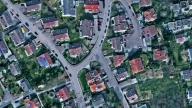
- Octave ImageStation produces detailed orthophotos and DSM for urban areas, providing accurate base data for land use planning, building density assessment and city spatial analysis with current imagery and height information.
- Automatically generated DSM enables planners to analyze building heights, assess visibility corridors and simulate 3D urban planning scenarios, supporting sustainable urban development management.
- Integration with GeoMedia allows combining orthophoto and DSM data with existing planning information layers, creating a comprehensive GIS platform for urban planning information systems.
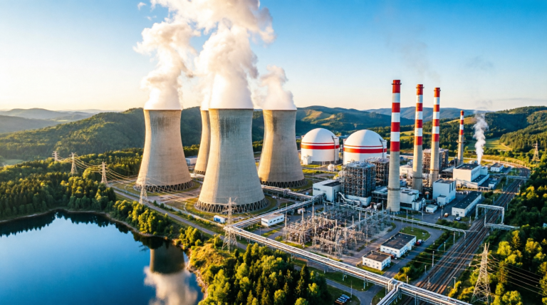
Oil And Gas
- Octave ImageStation creates DTM and orthophoto along pipeline corridors, providing accurate terrain data for route design, earthwork volume calculation and natural condition assessment, optimizing construction approaches and reducing risks during the detailed design phase.
- High-accuracy DTM enables EPC design teams to perform profile analysis, identify terrain crossing points at complex locations and plan construction activities suited to actual conditions along each corridor segment.
- Up-to-date orthophoto along corridors helps assess current land use, detect obstacles and identify land acquisition boundaries, supporting transparent compensation processes and project management.
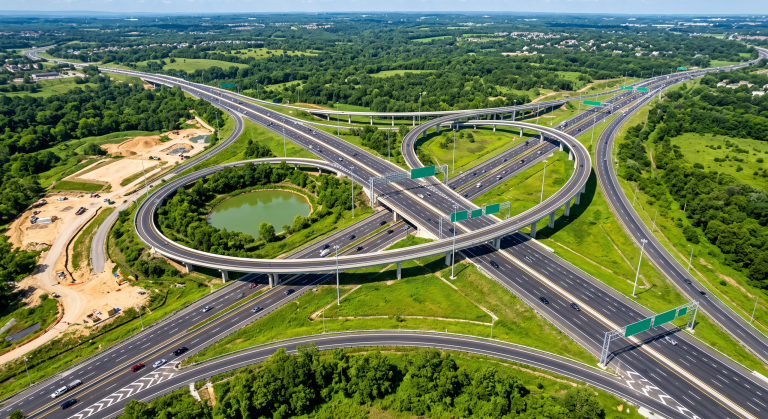
Transportation Infrastructure
- Octave ImageStation provides orthophoto and DTM along transportation corridors for feasibility studies, route design and construction volume calculations, reducing field survey time and increasing design data accuracy.
- Detailed DSM enables design teams to analyze existing infrastructure conditions, assess intersections with underground and surface structures, and plan construction activities suited to urban conditions.
- Orthophoto produced at regular intervals during construction enables progress monitoring and deviation detection from design specifications, supporting transparent and effective transportation infrastructure project management.

Agriculture And Environment
- Octave ImageStation produces orthophoto and DSM for agricultural and natural areas, providing base data for land use analysis, crop health assessment and landscape change monitoring over time.
- Detailed DSM enables forest resource assessment, canopy structure analysis and biomass estimation, supporting sustainable natural resource management and environmental reporting.
- Multi-temporal satellite imagery processing capability within Octave ImageStation enables time-series orthophoto construction, land use change detection and environmental impact assessment for development projects.
Frequently Asked Questions About Octave ImageStation
Octave ImageStation primarily serves professional mapping organizations, national cadastral and survey agencies, surveying and mapping consulting firms, and photogrammetry production teams in the oil and gas, infrastructure and urban planning sectors. The software is designed for production environments with large workloads and high accuracy requirements.
Octave ImageStation supports digital and film aerial cameras, ADS sensors, UAVs and commercial satellite imagery. The software allows multiple sensor types to be combined within a single project, managing thousands of images on a single unified management interface.
Octave ImageStation is specifically designed for large-scale projects. The software manages thousands of images within a single project, supports multiple sensor types and extends computing power through HTCondor distributed processing architecture, enabling deployment across computing clusters for national or enterprise-level projects.
Octave ImageStation provides complete stereo workflow capabilities including photogrammetrically accurate stereo imagery display, 2D and 3D feature collection and editing from stereo imagery in both CAD (MicroStation) and GIS (GeoMedia) environments, with a 3D cursor that accurately tracks spatial positions.
Octave ImageStation is a complete solution covering the entire photogrammetry pipeline. Its modules integrate with MicroStation (CAD) and GeoMedia (GIS) by Octave, enabling data collection and orthophoto production within familiar GIS/CAD environments without third-party software for core workflows.
Deployment costs depend on the number of modules, project scale and hardware infrastructure. TrueTech provides free consultations to assess requirements and propose suitable configurations, helping organizations optimize investment budgets according to actual usage needs.
Start Your Photogrammetry Project With TrueTech Today
Our team of photogrammetry specialists is ready to recommend the right Octave ImageStation solution for your project requirements

