Millimeter-Accurate 3D Point Cloud Survey
Terrestrial LiDAR laser scanning technology captures millions of data points per second, creating detailed 3D models for construction, transportation infrastructure, and heritage preservation.
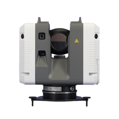
Key Features of Terrestrial LiDAR Technology
Discover the technical capabilities that make terrestrial LiDAR the leading 3D surveying tool available today.
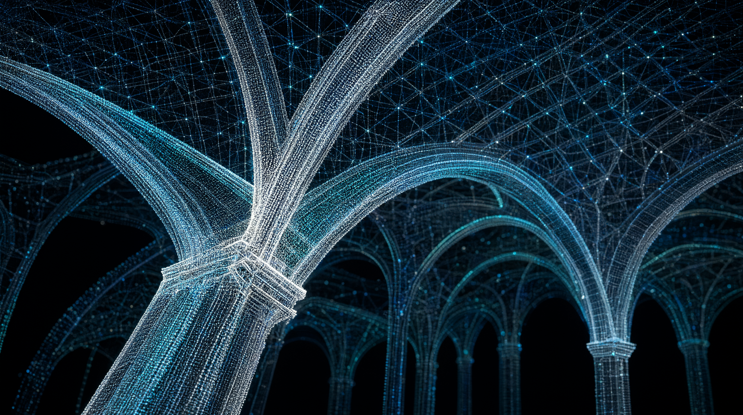
Ultra-High Point Density
The ability to collect millions of data points per second to accurately reproduce object surfaces.
- Collects millions of laser points per second to generate a dense Point Cloud.
- Accurately reproduces every corner and complex structure of the facility.
- Creates high-resolution 3D spatial data for design and modeling purposes.
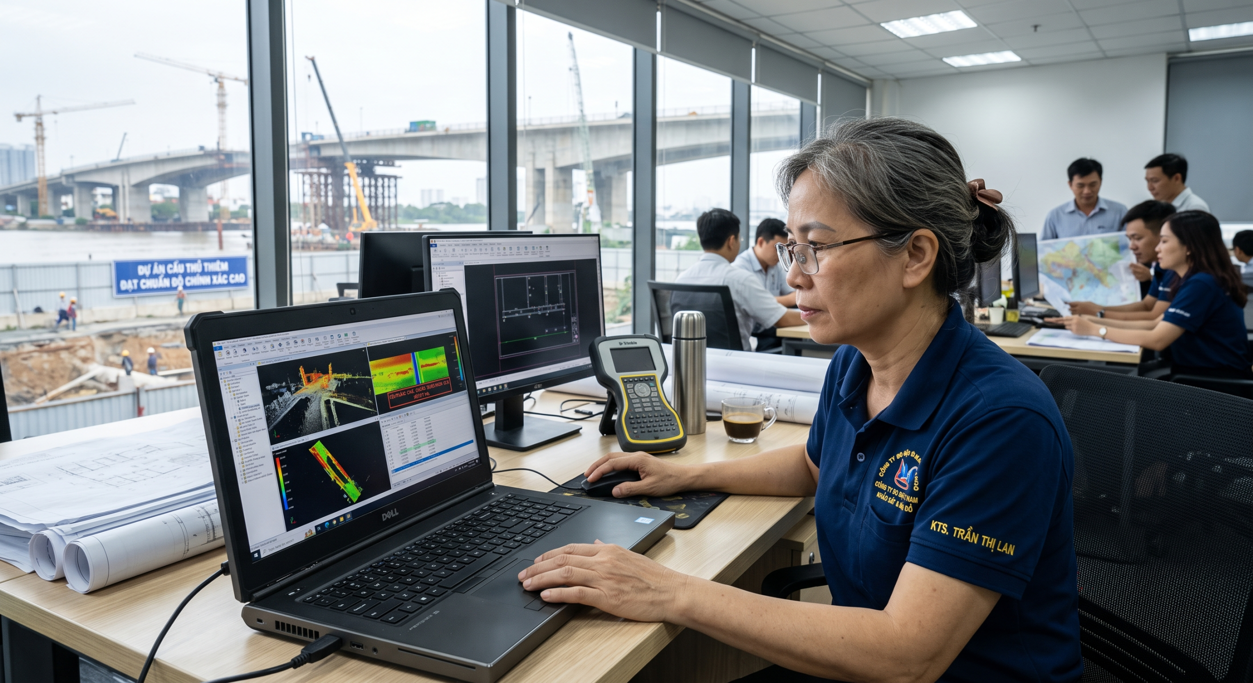
Millimeter-Level Accuracy
Ensures extremely low error margins, fully meeting the strictest requirements of engineering and construction.
- Achieves millimeter-level accuracy for all 3D spatial measurements.
- Provides reliable data for deformation monitoring and project acceptance.
- Completely eliminates errors caused by traditional manual surveying methods.

Digital Image Integration
Perfect integration between laser data and real-world imagery to create intuitive and vivid 3D models.
- Assigns color codes from digital photos to corresponding laser points on the 3D point cloud.
- Applies Texture Mapping to model surfaces to enhance visual realism.
- Supports intuitive information extraction from virtualized real-world environments.
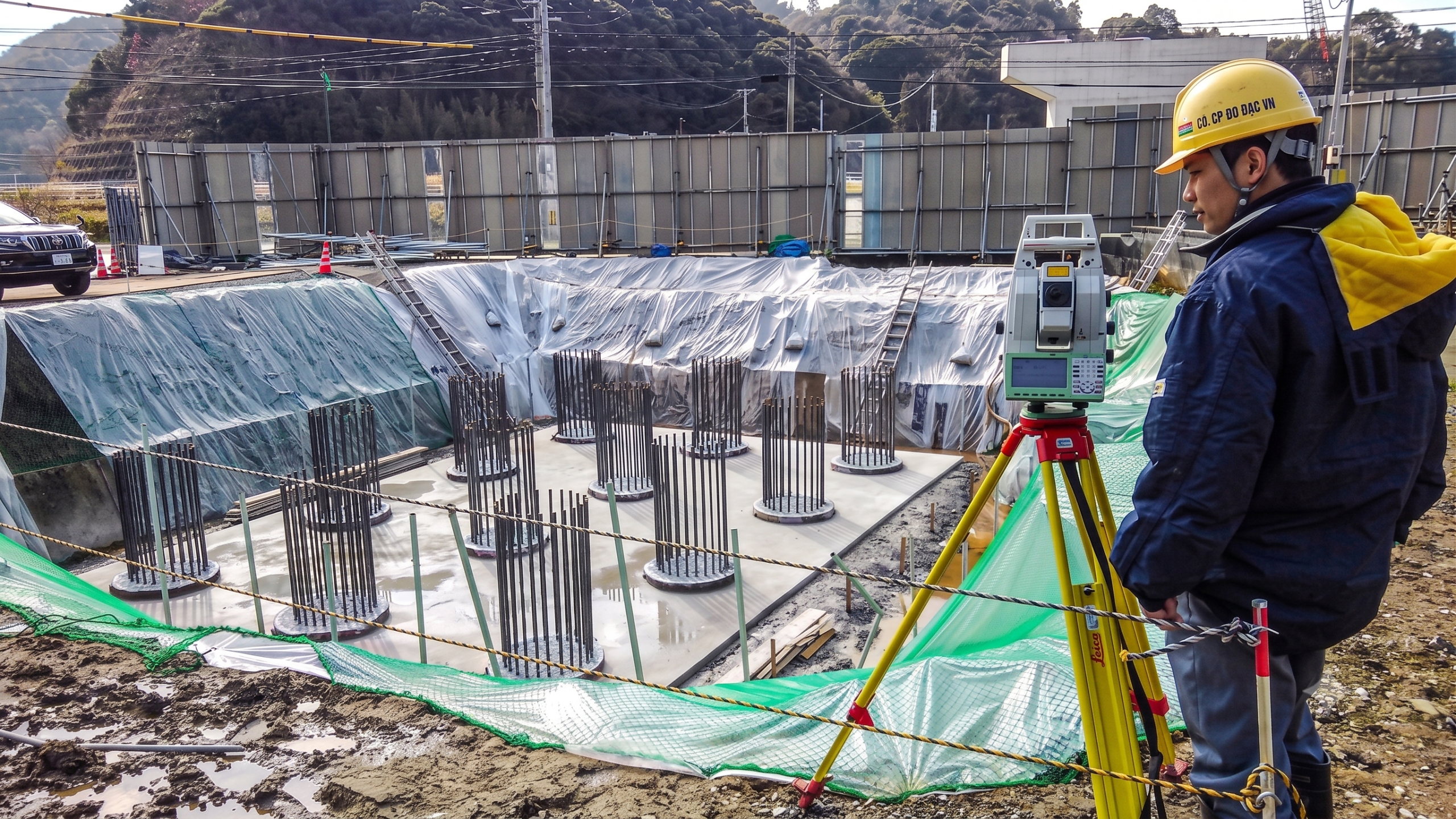
Portable and Flexible Design
Compact equipment system, easy to carry and install in various terrains and spaces.
- Quickly installs on fixed tripods at the field site.
- Operates stably in confined spaces or rugged terrains.
- Optimizes the movement and station setup process for engineering teams.
Core Business Values
Practical benefits that ground-based 3D scanning solutions bring to workflows and project efficiency.
Survey Time Optimization
Significantly reduces field data collection time compared to traditional surveying methods.
- Completes field surveying tasks in a relatively short amount of time.
- Minimizes labor costs and accommodation time at remote construction sites.
- Accelerates the overall project schedule from the survey phase to design.
Error Reduction in Design
Enhances input data reliability, minimizing risks arising during the construction process.
- Provides accurate foundational data for Building Information Modeling (BIM) software.
- Prevents design clashes caused by missing existing condition data.
- Ensures perfect alignment between technical drawings and actual site conditions.
Overall Productivity Enhancement
Creates a breakthrough in work performance for engineering teams and project stakeholders.
- Allows multiple departments to access and work on a single realistic 3D model.
- Automates the process of extracting 2D drawings and volume reports from point clouds.
- Enhances rapid decision-making capabilities based on intuitive spatial data.
Multi-Industry Applications
Terrestrial LiDAR solutions effectively serve various complex engineering, construction, and heritage sectors.
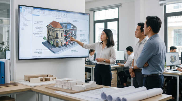
Architecture and BIM Management
Detailed existing condition surveys for design, renovation, and facility lifecycle management.
- Collects accurate existing condition data for old building renovation projects.
- Supports Building Information Modeling (BIM) with high levels of detail.
- Monitors construction progress and visually compares it with original design drawings.
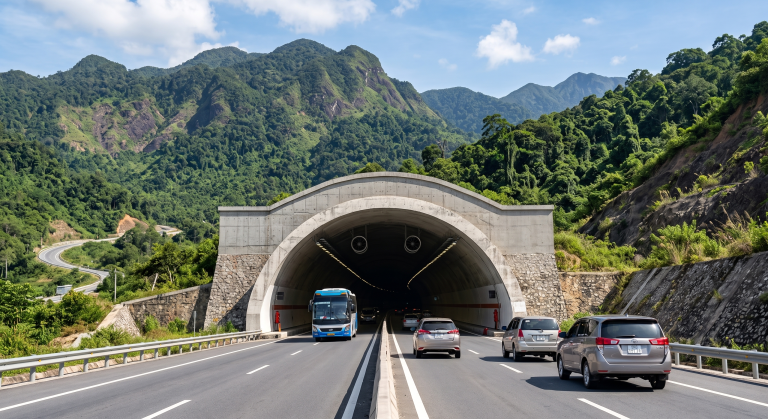
Transportation Infrastructure and Tunnels
Comprehensive solutions for the tunnel lifecycle from planning to operation and maintenance.
- Planning through accurate Reality Capture of existing conditions.
- Designing Digital Terrain Models (DTM) and visualizing construction methods.
- Construction support for drilling, piling, ground stabilization, and earthworks.
- Operation & Maintenance including as built surveying, asset mapping, and infrastructure inspection.
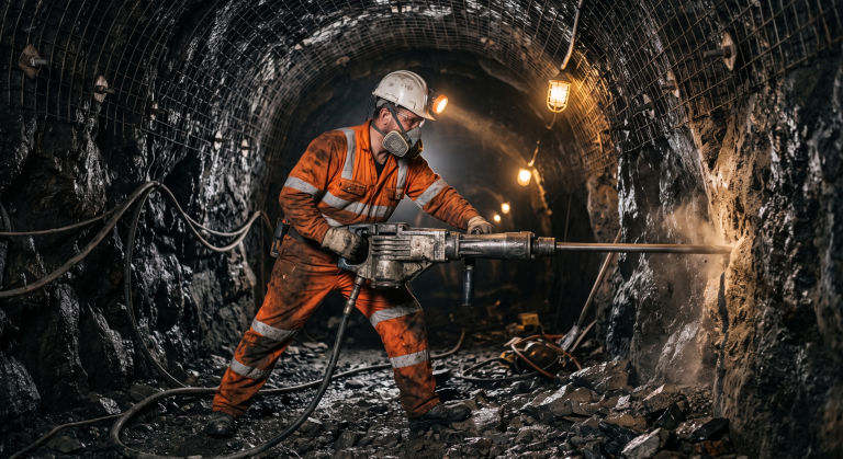
Mining and Heavy Industry
Rapid and safe measurements in harsh environments and complex spaces.
- Accurately calculates mineral reserves and stockpile volumes.
- Monitors deformation of mine benches and industrial plant structures.
- 3D scanning for the design and maintenance of complex piping systems.
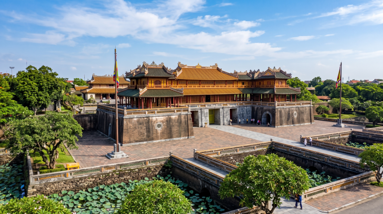
Heritage Conservation and Archaeology
Digitizes and permanently preserves historical monuments with absolute realism.
- Records the shape and structure of archaeological relics without direct physical contact.
- Reconstructs 3D models of historical structures for research and tourism.
- Tracks the degradation level of heritage sites through periodic scanning.
Frequently Asked Questions About Terrestrial LiDAR
Distinguishing between fixed scanning systems and mobile systems on vehicle platforms.
- – Terrestrial LiDAR uses equipment mounted on fixed tripods, providing extreme accuracy and point density for small to medium-sized areas.
- – Mobile Mapping Systems (MMS) are mounted on vehicles, suitable for capturing long linear data like streets or transportation corridors.
Common file formats compatible with engineering and design software.
- – Data is typically exported in standard formats such as LAS, LAZ, E57, or PTS.
- – Fully compatible with popular point cloud processing and BIM modeling software today.
- – Supports conversion to CAD formats or 3D meshes depending on project requirements.
Contact for Solutions Consulting
For detailed consulting, viewing reference models, comparing commercial products, or learning about Tunnel Management solutions using Terrestrial LiDAR, please contact TrueTech's expert team directly.
Over 30 years of experience in surveying technology and engineering software
Strategic partner of world-leading surveying technology manufacturers
Highly skilled technical team with deep understanding of the Vietnamese market

