
Unified Geospatial Enterprise Platform
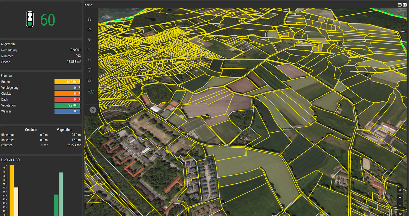
Core Technological Features Of Octave Alto Enterprise
Build Cross Platform Geospatial Apps
- Develop browser, desktop and mobile applications from a single environment.
- Integrate core components like vector, 3D models, point clouds and analytics.
- Customize prebuilt applications using application programming interfaces or software development kits.
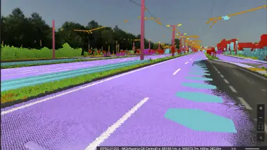
Connect To Data In Native Format
- Connect to files, databases, web services and enterprise resource planning systems.
- Work directly with native formats to completely eliminate data conversion time.
- Keep information updated through live feeds and unify spatial data with business data.
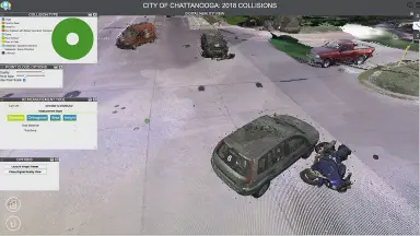
2D And 3D Dashboards With Analytics
- Combine maps with business intelligence widgets to run spatial models.
- Apply machine learning to detect trends and predict outcomes.
- Provide interactive 2D and 3D views to help stakeholders grasp information quickly.
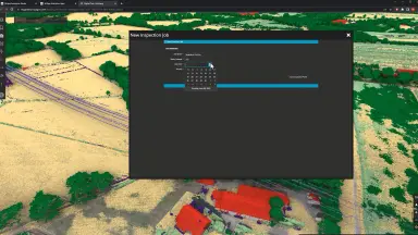
Guided Workflows And Data Validation
- Design role based workflows to guide users through specific steps.
- Enforce data validation rules and feature level access controls.
- Reduce manual steps to improve consistency and maintain workflow progress.
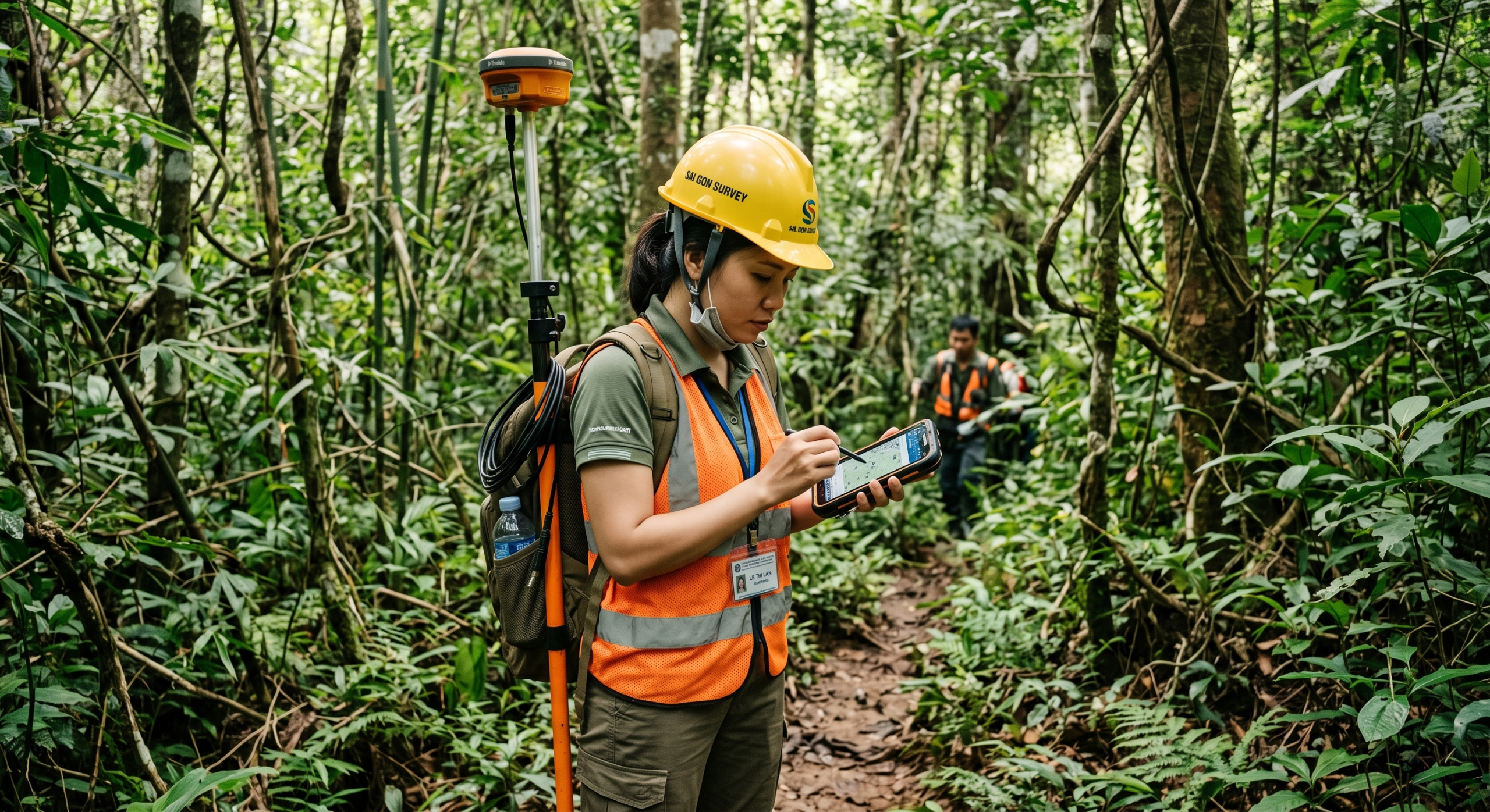
Mobile Fieldwork Offline Support
- Allow field users to view, capture and edit data when offline.
- Store changes locally and sync securely when the device reconnects.
- Provide the exact forms and maps that field crews require.

Central Admin For Users And Roles
- Manage users, roles and tenants from a central interface.
- Set feature level access controls and track usage statistics.
- Deploy on local servers or hybrid models to meet security policies.
Core Values Octave Alto Enterprise Delivers
Discover the tangible benefits that businesses and organizations achieve by deploying a unified geospatial platform.
Unified Geospatial Platform
- Create a single live view for all departments to avoid confusion.
- Scale from a small team to the whole organization without system interruption.
- Synchronize insights to keep everyone aligned with the general progress.
Universal Data Connectivity
- Completely eliminate resource intensive format conversion steps.
- Keep data pipelines simple and easy to maintain.
- Provide continuously updated information for rapid analysis.
Standardized Operational Workflows
- Standardize repetitive tasks through designed workflows.
- Reduce manual steps to ensure smooth operational processes.
- Ensure all collected data complies with strict validation rules.
Secure And Flexible Administration
- Protect data privacy through strict access controls.
- Easily meet organizational requirements and industry regulations.
- Provide absolute peace of mind for IT teams and leadership.
Cross Industry Applications Of The Geospatial Platform
Flexible solutions meeting monitoring and asset management needs across sectors.

Smart Cities And Urban Planning
- Provide tools for land use planning and public asset management.
- Integrate traffic and public utility data on a single map.

Environmental And Natural Resource Management
- Track deforestation and vegetation cover changes via satellite.
- Analyze disaster risks and plan emergency responses.

Public Transport And Utility Infrastructure
- Monitor the status of power, water and traffic networks in real time.
- Dispatch maintenance crews to the exact location of incidents.
Frequently Asked Questions About Octave Alto Enterprise
- – M.App Enterprise is now renamed to Octave Alto Enterprise.
- – The system retains its power while adding the ability to turn spatial data into daily decisions.
- – Supports building cross platform apps combining maps, dashboards and workflows.
- – Connect directly to files, databases, web services and enterprise resource planning systems.
- – Work with data in native formats to minimize preparation steps.
- – Support live data feeds when businesses require continuously updated information.
You can build dashboards that combine maps and BI widgets, run spatial models, and apply machine learning to detect trends and predict outcomes. Interactive 2D/3D views make patterns clear and help stakeholders decide with confidence.
Yes. The platform lets you define role-based workflows that guide users through steps and enforce data checks. You can manage users, roles, and tenants centrally and apply feature-level access controls.
Field users can view, capture, and edit data offline. Changes are stored locally and sync back securely when the device reconnects, ensuring data stays consistent across the platform and back-office systems.
You can deploy on-premises or hybrid to align with IT and compliance needs. Admins control authentication, roles, and content access from central consoles, making it easier to meet organizational and regulatory requirements.
Teams share the same operational picture through apps tailored to their tasks: browser dashboards in the office, desktop tools for advanced editing, and mobile apps for fieldwork (offline included). Because apps pull from the same sources, everyone works with current, consistent data and standardized workflows.
It is a full app platform with workflows, analytics, and role-based delivery, not just map viewing. You build focused apps that combine BI and geoprocessing, connect to enterprise systems, and push tasks to the field. The result is faster action, from insight to execution.
Contact TrueTech for Octave Alto Enterprise Consultation
Over 30 years of experience in surveying technology and engineering software. Our team of experts is ready to support you from consultation to deployment.

