
Airborne Radar IFSAR Solutions by Intermap
High-accuracy terrain data collection technology, operating effectively in all weather conditions and terrains.
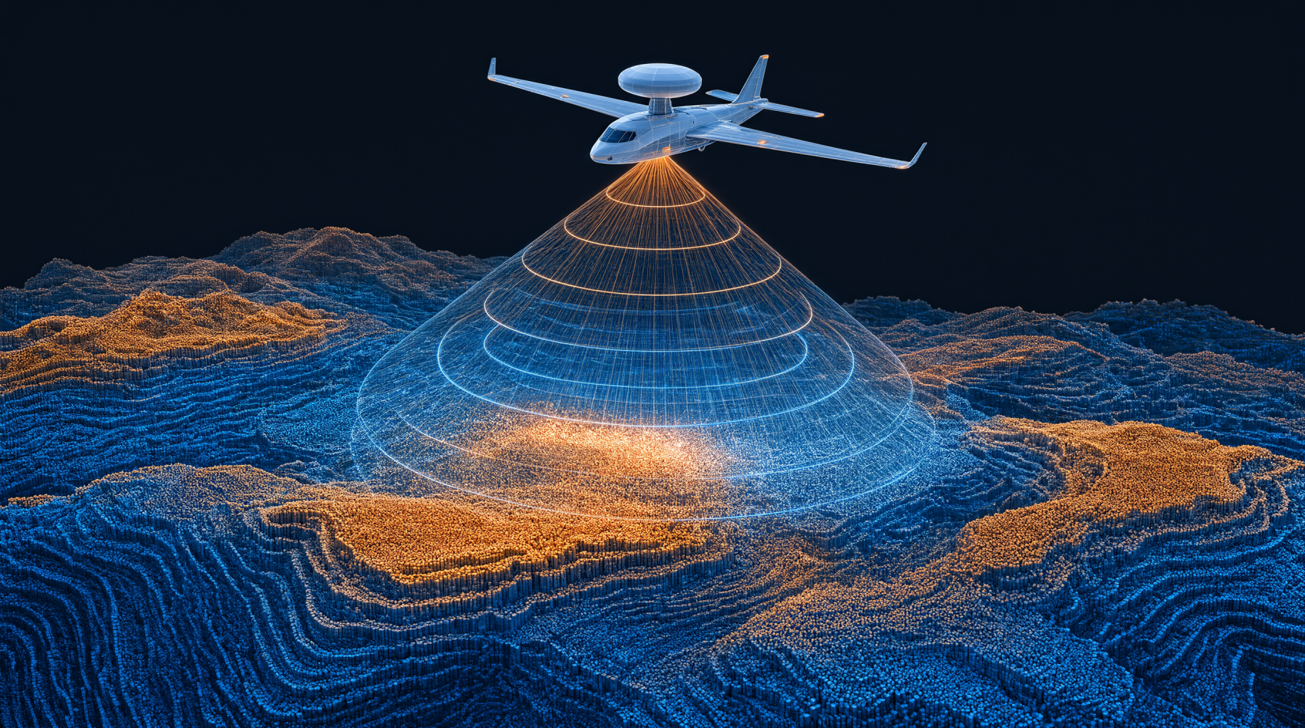
Technical Capabilities of the IFSAR Airborne Radar System
A multi-sensor radar platform delivering high-quality terrain data from collection through processing.
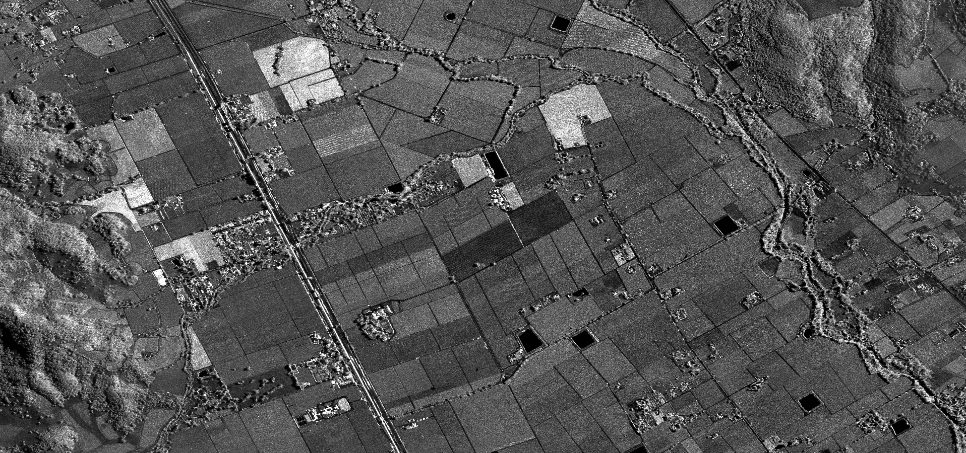
Orthorectified Radar Imagery (ORI)
Black and white images of the Earth's surface geometrically corrected to remove terrain distortions.
- Spatial resolution of 0.625 meters.
- Planimetric accuracy of 3 meters.
- Completely eliminates distortions caused by elevation and sensor viewing angles.
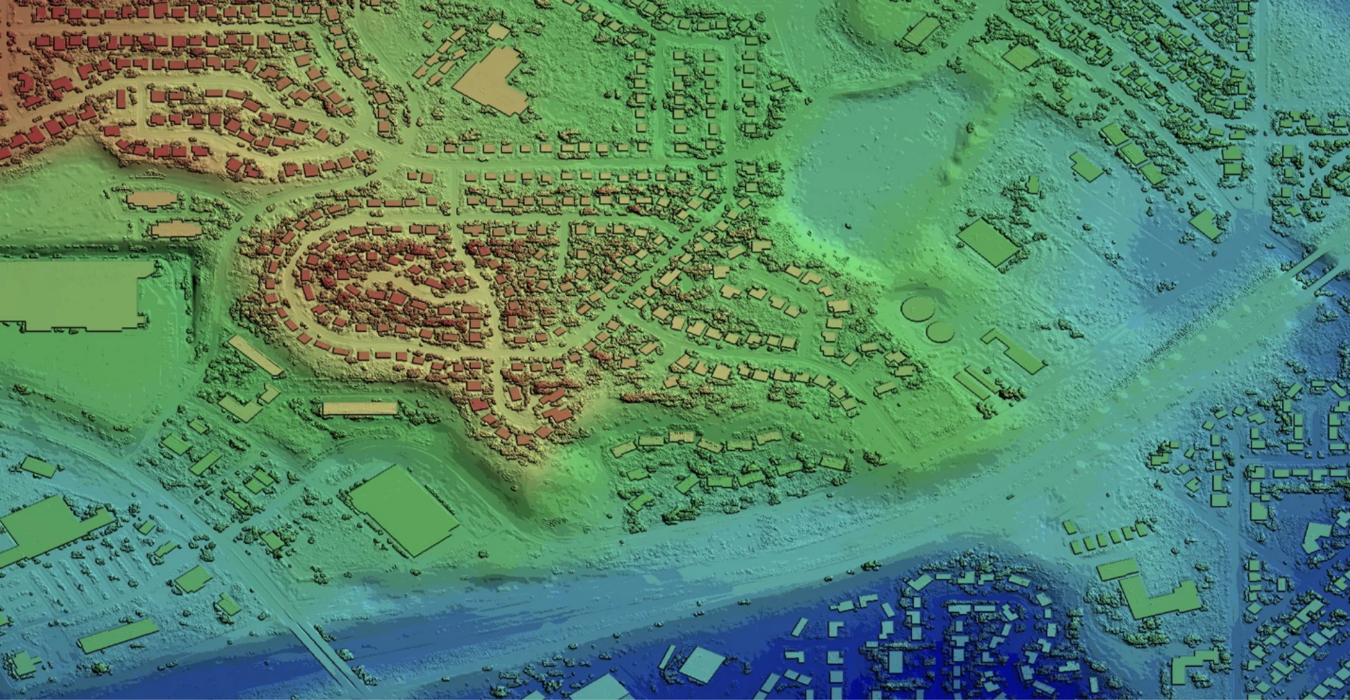
Digital Surface Model (DSM)
Elevation values encompassing all features on the Earth's surface: vegetation, structures, and terrain.
- The Digital Surface Model (DSM) is a comprehensive set of elevation values for all objects on the Earth's surface, including vegetation (trees, ground cover), man-made structures (buildings, roads, bridges), and natural terrain.
- Grid resolution of 5 meters, suitable for regional planning analyses and spatial assessments.
- Vertical accuracy of 1 meter (RMSE), ensuring reliable data for volume calculations, height analyses, and engineering design.
- DSM data is essential for 3D model construction, flight path analysis, visibility assessment, and infrastructure development planning.
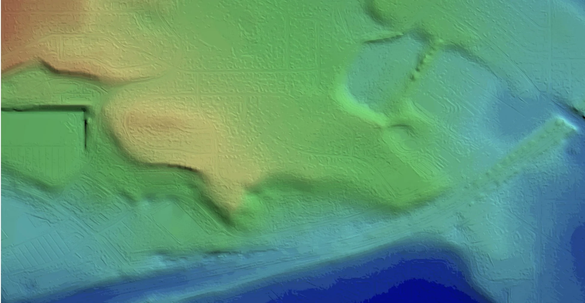
Digital Terrain Model (DTM)
Bare-earth terrain model with all vegetation and man-made structures removed.
- The Digital Terrain Model (DTM) represents the natural terrain of the Earth's surface, created by removing all vegetation, buildings, and cultural features, retaining only the basic ground surface.
- Grid resolution of 5 meters, suitable for watershed analysis, earthwork volume calculations, and road design.
- Vertical accuracy of 1 meter (RMSE), ensuring reliability for engineering applications requiring accurate baseline terrain data.
- DTM is an indispensable input for hydrology applications, flood analysis, drainage design, and inundation modeling.
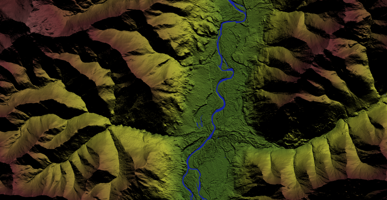
Multi-Sensor Collection Platform
Multi-sensor radar system on a specialized aircraft, capturing high-resolution imagery and penetrating dense forest canopy.
- The collection platform utilizes an FAA-certified Learjet-36 aircraft equipped with a multi-sensor IFSAR radar system, enabling high-resolution radar imagery capture including triple-canopy foliage penetration at high altitude.
- The Dual-Look mechanism collects data from both sides of the flight path, increasing efficiency and reducing radar shadow zones.
- The system operates in a fully autonomous fashion, eliminating the need for manual operation and ensuring consistency throughout the entire collection process.
- Change Detection capability identifies feature changes beneath the canopy that are invisible in optical imagery.
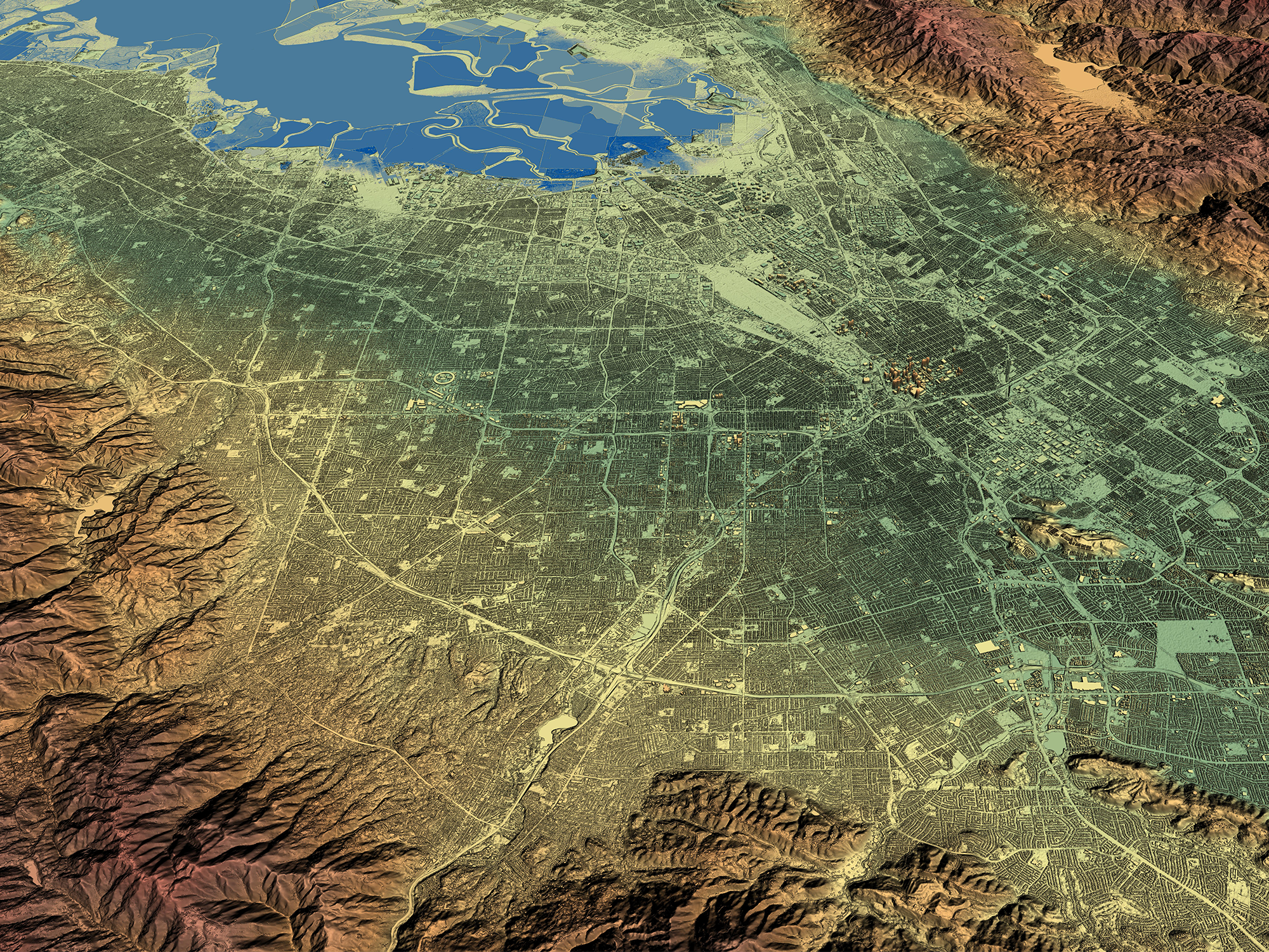
Orthorectified Radar Imagery (ORI)
Geometrically corrected black-and-white radar imagery of the Earth's surface with terrain distortion removed.
- Orthorectified Radar Imagery (ORI) is a geometrically corrected black-and-white image of the Earth's surface, processed to remove all geometric distortions caused by terrain relief.
- Ground Sample Distance (GSD) of 0.625 meters enables detailed observation of infrastructure features such as roads, buildings, and natural terrain characteristics.
- Horizontal accuracy of 3 meters ensures reliability for coordinate verification and integration with Geographic Information Systems (GIS).
- ORI data undergoes radiometric balancing, providing uniform brightness and contrast across the entire collection area.
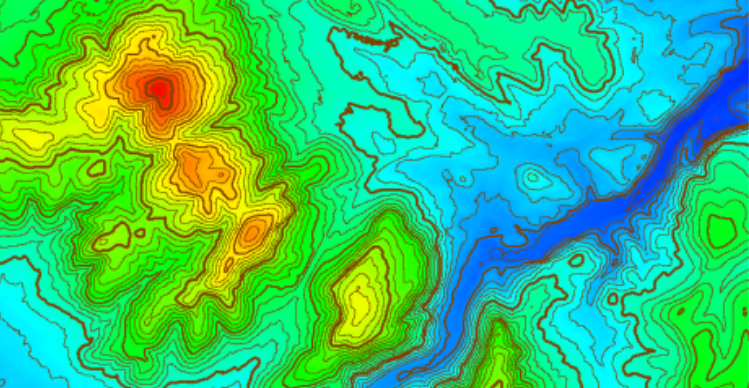
Advanced Processing Software
Software system for gap removal, automated interpolation, and cloud-based data delivery.
- Integrated processing software features gap removal and automated data interpolation capabilities, enabling processing across large project areas unaffected by seam lines or random data errors.
- A strict quality management process ensures the highest standard of output data, including seamless terrain surface generation and precise geometric registration.
- Cloud Services provide instant access to data products and services for any area of interest via subscription, eliminating costs and resources associated with large-scale local data storage.
- Compatible with OGC (Open Geospatial Consortium), Web Coverage Service (WCS), and Web Map Service (WMS) standards, enabling seamless integration with hundreds of third-party GIS tools.
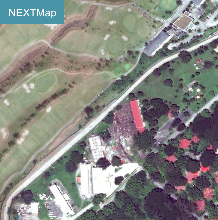
NEXTMap One Global Elevation Data
Next-generation elevation dataset at 1m resolution, seamless global coverage, hydro-enforced.
- NEXTMap One is Intermap Technologies' next-generation global 3D terrain dataset, providing seamless data at 1-meter resolution for all countries and locations worldwide.
- Includes two products: NEXTMap DSM (containing elevations of both natural features and structures) and NEXTMap DTM (bare earth with surface features removed).
- Vertical accuracy of up to 1 meter LE90, meeting international standards for high-demand engineering applications.
- Hydro-enforced data: water bodies and coastlines are flattened and corrected to ensure proper hydrological flow direction.
- Instant access via Cloud Services, compliant with OGC, WCS, and WMS standards, compatible with hundreds of third-party GIS tools and applications.
Core Values Delivered to Your Business
Practical business benefits and operational efficiencies gained by our clients.
Collection Anytime, Anywhere
Active radar system operating 24/7, unrestricted by weather or time of day.
- Collects data during both day and night.
- Penetrates fog, rain, and snow without quality degradation.
- Ensures project schedules remain unaffected by natural conditions.
Cost-Effective Solution
A solution that helps businesses save budget and shorten delivery times.
- Collects 100 square miles in just one minute.
- Eliminates the need for expensive stereo imagery.
- Reduces data storage resources through cloud services.
High Accuracy and Updated Data
A reliable data foundation serving in-depth spatial analysis.
- Measurement accuracy reaches the centimeter level.
- Data is continuously updated from recent satellite collections.
- Supports precise detection of terrain changes over time.
Wide Range of Application Industries
Airborne radar solutions serving diverse sectors from planning to conservation.
Resource Management and Forestry
Applications in biomass research and forest health monitoring.
- Accurate tree canopy height modeling.
- Land cover and land usage classification.
- Natural resource conservation and wildlife habitat research.

Infrastructure Planning and Construction
Supporting the design and monitoring of civil and transportation works.
- Establishing base maps and topographic maps for design purposes.
- Building 3D visualization models for urban planning.
- Analyzing slope and aspect to optimize design.

Environmental Analysis and Disaster Warning
A crucial tool in risk mitigation and emergency response.
- Establishing flood models and watershed analysis.
- Analyzing environmental hazards and monitoring erosion.
- Modeling radio wave propagation to analyze tower placement locations.
Giải đáp các thắc mắc kỹ thuật phổ biến về giải pháp radar hàng không.
Interferometric Synthetic Aperture Radar technology used to create terrain data.
- – IFSAR uses two antennas spaced apart simultaneously to image the Earth’s surface area.
- – This technology generates high-resolution imagery and digital elevation models.
- – The system can produce terrain data with centimeter-level accuracy.
Operational capability independent of lighting and weather conditions.
- – The active radar system allows data collection at any time.
- – This technology penetrates fog, rain, snow, and clouds without being affected.
- – Ensures a continuous and stable data supply for the project.
Distinguishing two common elevation models in surveying work.
- – DSM includes the elevation of both natural and man-made objects like buildings and trees.
- – DTM retains only the basic topography after completely removing vegetation and structures.
- – The choice depends on the specific analysis purpose of each project.
Connect with the TrueTech expert team for technical support and detailed pricing.
We are ready to accompany you in geospatial surveying and engineering software projects. Contact us now to receive in-depth consultation from leading experts.
24/7 Technical Support
Absolute Data Security
Global Strategic Partner

