Leica Ground Penetrating Radar Solution
The most advanced underground utility detection technology for surveying and construction in Vietnam
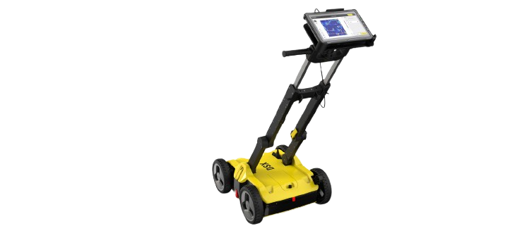
Outstanding Technological Features
Equipped with the most modern tools and software for accurate data collection
Proprietary EsT Technology
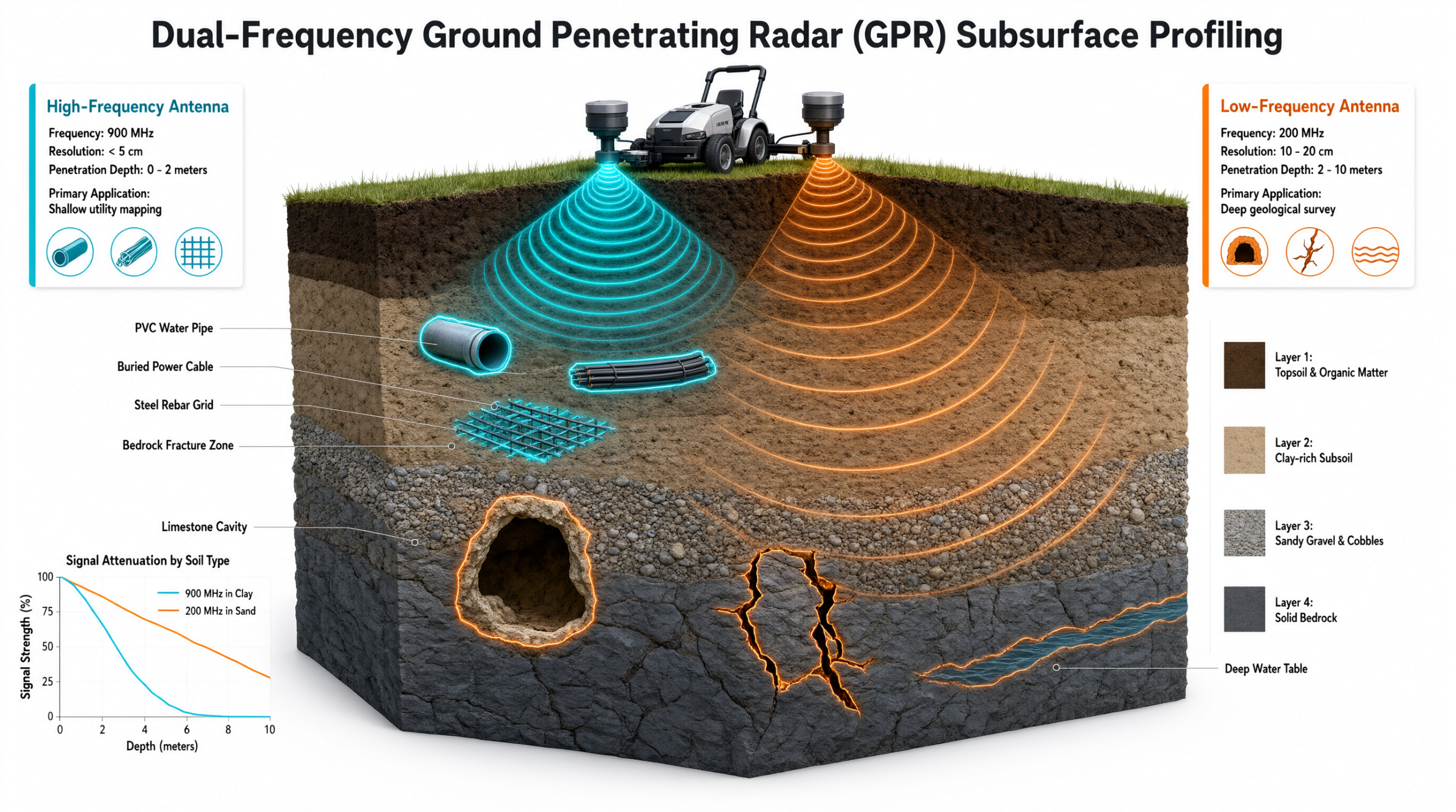
Equalised Scrambling Technology (EsT) maximizes detection range
- Detects underground utilities up to 60% deeper than traditional radar systems
- Clearly identifies difficult-to-detect objects such as fiber optic cables and non-metallic pipes
- Dual-frequency antenna allows simultaneous detection of objects at both shallow and deep levels
uMap and IQMaps Software
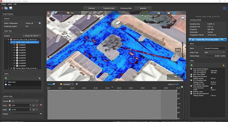
Comprehensive software solution from field data collection to advanced processing
- uMap software supports Quick Scan Mode for rapid data collection
- Real-time visualization of radar data and time slices on-site
- IQMaps software enables advanced data analysis and direct export to AutoCAD format
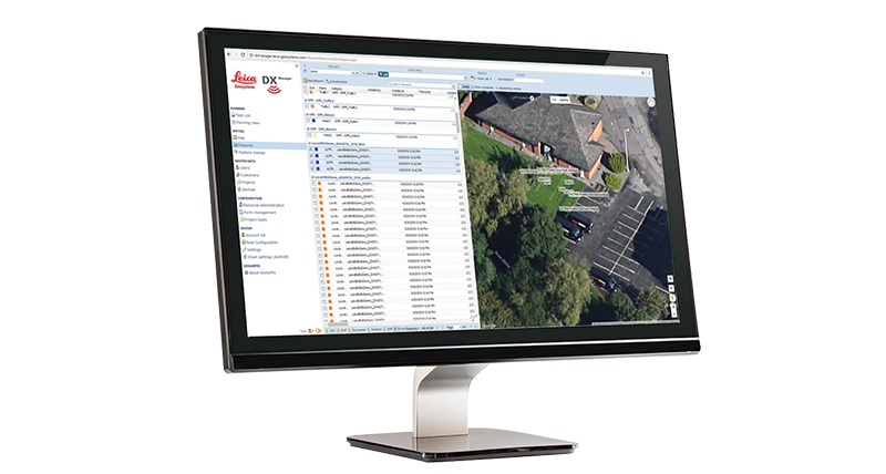
Leica DX Manager Platform
Fully integrated utility mapping solution on a cloud-based platform
- Manage projects, tasks, and spatial data from a single central dashboard
- Automatic synchronization with the Leica DX Field mobile app to ensure data integrity
- Seamless integration of data from cable locators and asset mapping devices
Core Values Delivered
Practical business and operational benefits for your enterprise
Minimize Construction Risks
Protect team safety and avoid additional costs from utility strikes
- Early detection of potential underground hazards before excavation begins
- Ensures significantly higher safety compared to traditional electromagnetic wave methods
- Enables construction teams to work more efficiently and confidently in complex environments
Optimize Workflow
Save time and operational costs thanks to lightweight design and automation
- Modular design weighing only 20 kg allows effortless single-user operation
- Hot Swap technology enables continuous, uninterrupted data acquisition
- Create and finalize reports directly on-site, saving post-processing time
Sustainable and Secure Investment
Solution backed by a global network and superior warranty policies
- Protected by the strongest PROTECT Leica Geosystems warranty policy on the market
- Technical support from a network of over 270 service centers worldwide
- Rugged IP65-rated design, easy to maneuver over rough terrains
Industry Applications
Flexible solution meeting diverse surveying and infrastructure management needs
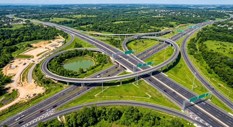
Urban Infrastructure Management
Create highly accurate underground utility maps
- Create highly accurate underground utility maps
- Manage underground assets and infrastructure systematically and scientifically

Civil Engineering and Construction
Supporting foundation surveying and structural quality assessment
- Survey foundations and detect subsurface voids
- Non-destructively evaluate concrete and asphalt quality
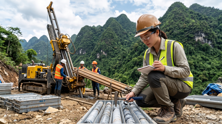
Geological and Environmental Surveying
Studying soil and rock structures and underground water tables
- Detailed surveying of geological strata and rock structures
- Detect and locate underground water tables for planning purposes<
Frequently Asked Questions
Understanding the operating principle of GPR systems
- – A method using short-wavelength radar waves to detect and locate objects shallow or deep underground
- – Capable of detecting non-conductive pipe and sewer systems that traditional methods cannot
The penetration capability of Leica DS4000 compared to other models
- – Leica DS4000 can identify underground assets up to 60% deeper than traditional systems
- – Dual-frequency antenna allows simultaneous detection of objects at both shallow and deep levels
Data compatibility and integration with design software
- – IQMaps software allows direct data export to AutoCAD format
- – Supports exporting and sharing data to major cloud service providers
Contact Us For Solution Consultation
For detailed consultation, reference samples, or to select the Ground Penetrating Radar solution suitable for your project, please contact us directly.
Hexagon (Leica Geosystems) Strategic Partner
30 Years of Experience
Dedicated Technical Support

