
Urban Security Solution

Key Features of Safecity

Integrated GIS Platform
- Verify incident information based on precise coordinates on the digital map
- Visually display security hotspots, surveillance zones, and emergency response unit positions on a GIS map layer
- Support spatial queries, surveillance zoning, and incident impact radius determination
- Coordinate response and processing units based on location, reducing reaction time
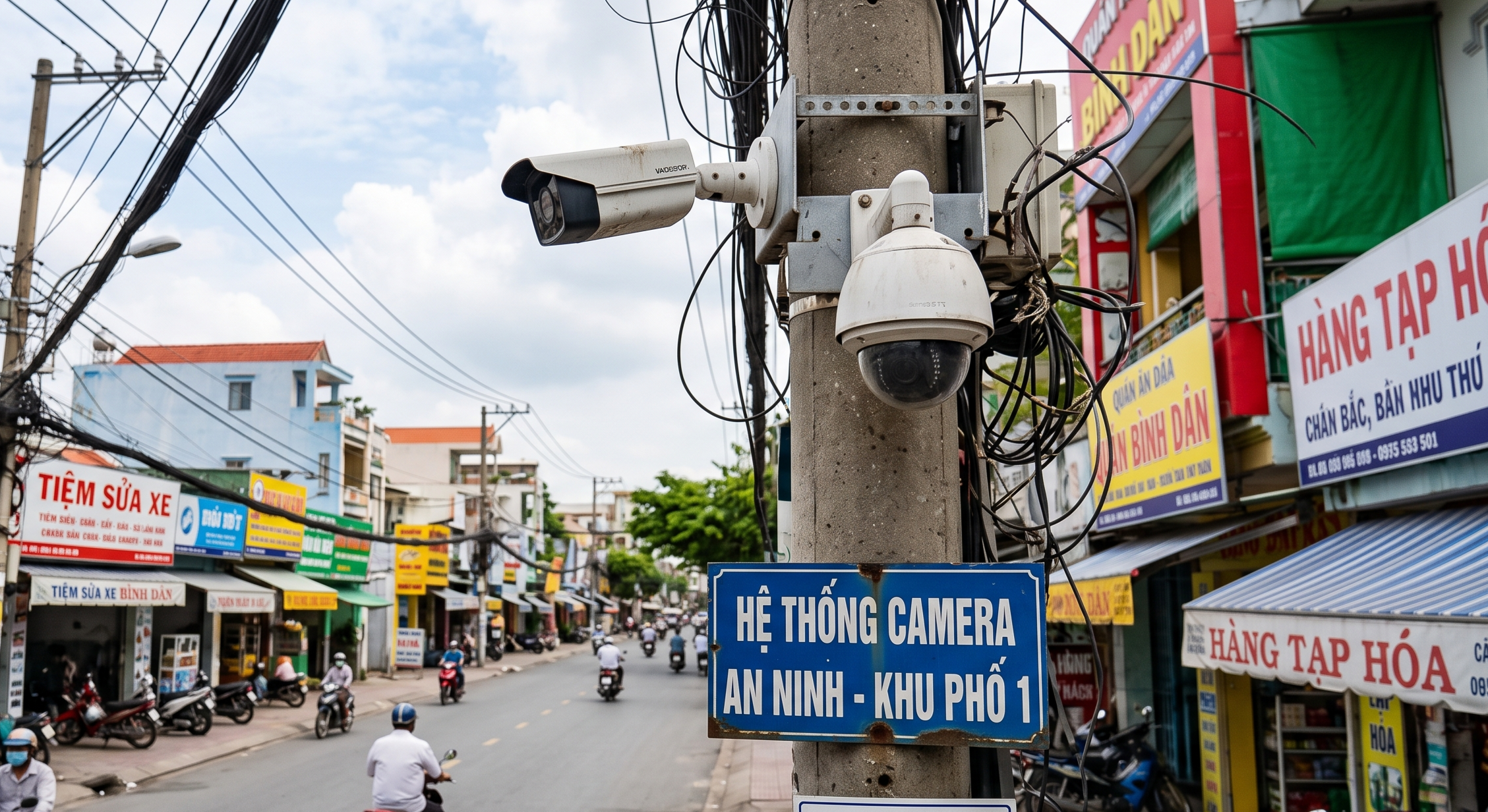
Multi-Sensor And Communication System Integration
- Integrate data from city-wide CCTV surveillance camera networks
- Receive alert signals from sensors and automated alarm systems
- Connect with multi-channel communication networks for force coordination
- Support linkage with various hierarchical systems within a unified surveillance network
- Cross-verify information from multiple sources to reduce false alarms and increase reliability
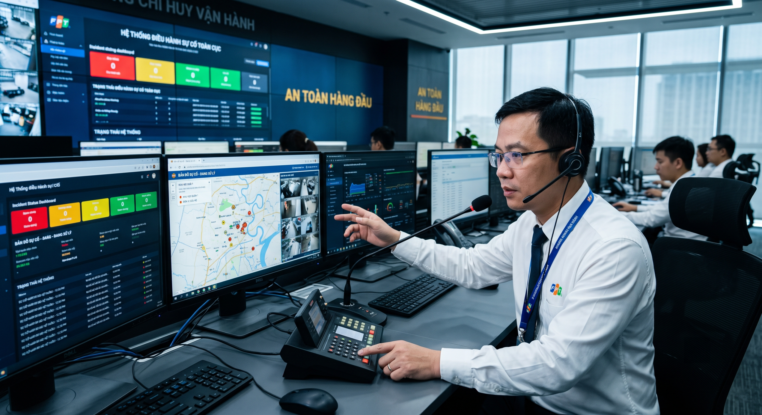
Hierarchical Operations System
- Role-based access control and management at each level: from command center to field units
- Structured information reception workflow from alert reception through verification to processing assignment
- Incident management and resolution system with clear priority levels
- Real-time processing status tracking of each unit on a centralized overview dashboard

Unified Command Center
- Unified overview dashboard displaying city-wide security situation at a glance
- Centralized management of the entire workflow from alerting, verification, coordination to incident resolution
- Real-time information sharing between the command center and all relevant units
- Incident history storage and retrieval for trend analysis and strategic decision-making
Value Delivered To Your Organization
Safecity is more than security management software. The solution provides organizations with proactive prevention, rapid response, centralized management, and secure, continuous operations.
Proactive Alerting And Prevention
- Continuous 24/7 surveillance across the entire managed area, detecting anomalies in real-time
- Automatic alerts upon risk detection, enabling security forces to intervene early
- Incident trend and pattern analysis for risk prediction and prevention planning
- Minimized losses to people and assets through early detection and rapid response
Rapid Emergency Response
- Coordinate response units based on nearest location and incident priority level
- Instant transmission of incident information to relevant units through integrated communication systems
- Support rapid decision-making with location data, imagery, and real-time status information
- Flexible linking between management units, ensuring seamless coordination during response
Digital Evidence Collection And Management
- Automatic capture of images, video, and sensor data at the time of incident occurrence
- Structured evidence storage with easy retrieval by time, location, and incident type
- Support cross-referencing information from multiple sources to verify evidence accuracy
- Facilitate post-incident investigation, assessment, and systematic reporting
Real-Time Information Linkage
- Synchronize data from all sources into a single platform with instant updates
- Share incident information and processing status between relevant units as changes occur
- Eliminate information gaps between the command center and field forces
- Ensure all stakeholders access the same version of accurate, up-to-date information
Advanced Security
- Multi-tier security architecture protecting surveillance data, evidence, and coordination information
- Strict access control based on user roles and hierarchy levels
- Data encryption during transmission and storage
Safecity Solutions Across Multiple Industries
Safecity flexibly meets security, surveillance, and incident management needs across multiple industries, from government and national defense to public asset management.
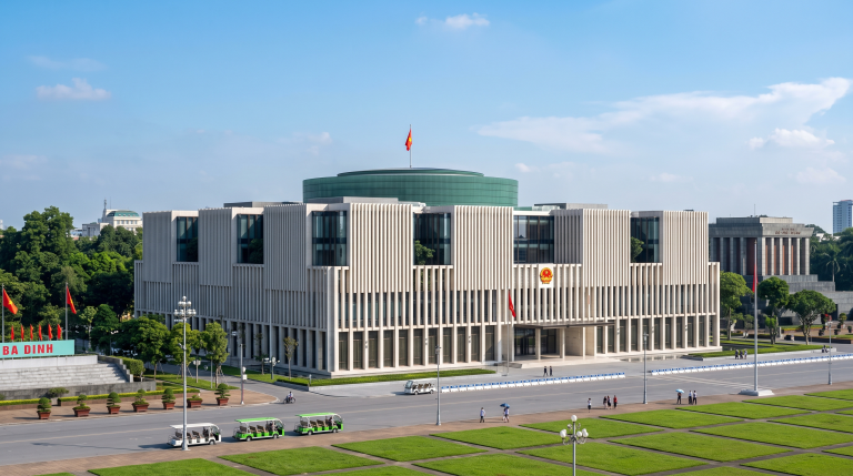
E-Government
- Monitor and manage security for administrative headquarters and public areas
- Support cross-agency coordination between departments in incident handling
- Provide real-time data for leadership decision-making
Public Safety
- Wide-area surveillance of public spaces through integrated camera and sensor networks
- Automatic alerts upon detection of anomalous behavior, public order violations, or security risks
- Coordinate patrol and response forces based on real-time GIS location data

Smart City
- Connect urban IoT infrastructure into a unified security and surveillance platform
- Support traffic, environmental, and security management on a single GIS system
- Provide trend analysis data for sustainable urban planning and development
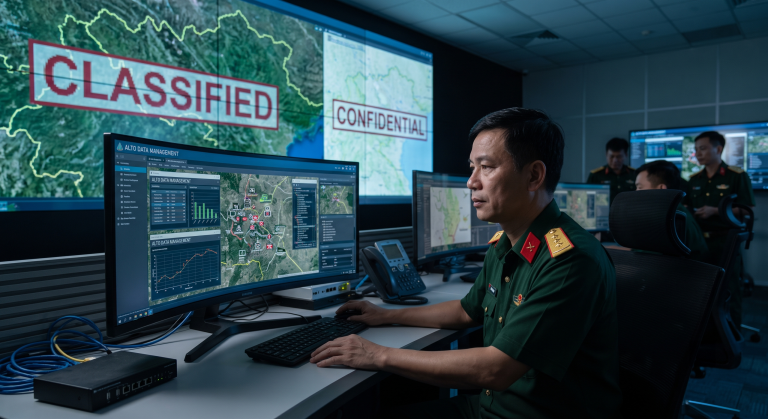
National Defense
- Monitor and protect border areas and critical defense zones
- Collect and manage digital evidence for patrol and control operations
- Support secure communication and real-time coordination between defense units

Public Asset Management
- Manage the location, condition, and security status of public assets on a GIS map
- Alert when detecting risks of intrusion, damage, or loss of assets
- Support inventory, assessment, and cyclical asset maintenance planning
Frequently Asked Questions About Safecity
Safecity is an integrated urban security management solution built on a Geographic Information System (GIS) platform, designed to support alerting, prevention, evidence collection, emergency response, and incident resolution. The solution addresses the challenge of fragmented information and slow coordination in traditional security systems by operating the entire workflow on a unified command center.
Safecity integrates multi-source data, including CCTV surveillance camera systems, sensors, alarm systems, communication networks, and various hierarchical systems. Contact TrueTech for detailed consultation on integration capabilities with your organization’s existing infrastructure.
Safecity serves a wide range of industries, including government agencies (e-government), public safety forces, smart city management units, national defense organizations, and public asset management agencies. The solution can scale from district-level to city-wide surveillance needs.
Safecity is built on a Geographic Information System (GIS) platform, enabling location-based information verification and visual display of security data on digital maps. The solution integrates with sensor, camera, and communication systems to receive and verify alerts in real-time.
The deployment process includes infrastructure assessment, solution design, system installation and integration, operations training, and handover. Contact TrueTech for detailed consultation on a deployment roadmap tailored to your organization’s specific scale and requirements.
TrueTech offers technical support and maintenance services throughout the product lifecycle, including software updates, operations optimization consulting, and incident handling. Contact TrueTech for details on available support packages.
Contact Us For A Safecity Consultation
The expert team at TrueTech is ready to consult with you about the Safecity urban security solution. With over 30 years of experience in IT, we have the knowledge and technology foundation to help you realize your vision of a safe and smart city.

