
Dynamic Geospatial Analysis GIS Software and Enterprise Asset Management

Accelerating High-End Engineering Task Performance
Integrating robust supplementary modules to thoroughly resolve unique field surveying and spatial asset management challenges
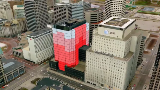
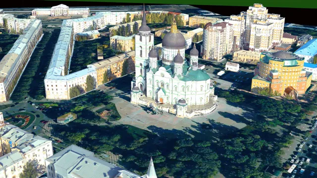
GeoMedia 3D Module
GeoMedia Transportation Manager Module
GeoMedia Mapping Manager Module
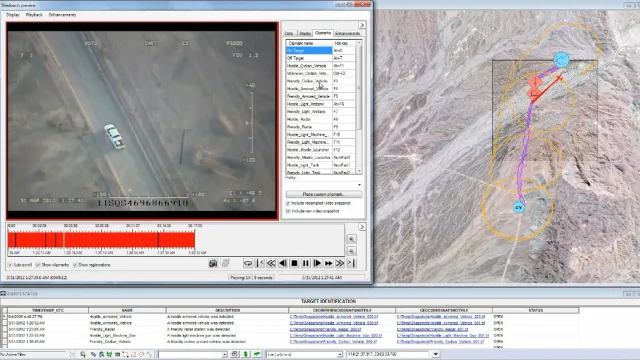
GeoMedia Motion Video Analyst Professional Module
Incident Analyst Tool
GeoMedia Image Professional Module
GeoMedia Advanced Collection and GI Toolkit
GeoMedia PDF and VPF Modul
Multi-Source Geospatial Information Integration
Direct Connection without Data Translation
Support for Over 300 Data Formats
Real-Time Live Data Updates
Explore the Comprehensive Geospatial Solution Portfolio
Seamlessly integrating specialized software applications to fully optimize your geospatial data management lifecycle
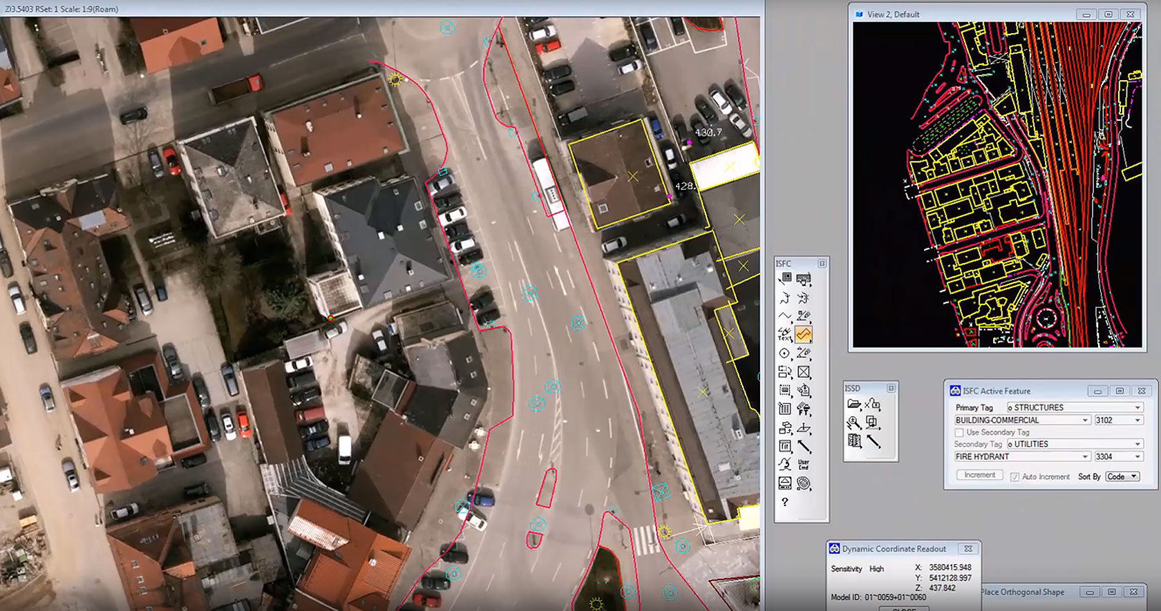
- This advanced photogrammetry solution transforms vast volumes of aerial imagery into highly accurate topographic maps. The software also processes raw unmanned aerial vehicle data to generate precise digital elevation models.
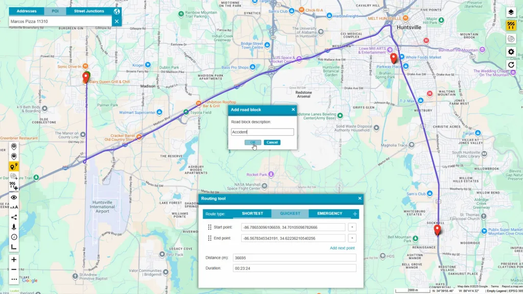
- This powerful suite combines Octave GeoMedia WebMap and the comprehensive Data Infrastructure portal. The system effectively transforms existing geospatial databases into highly intuitive web mapping applications for seamless organizational access.
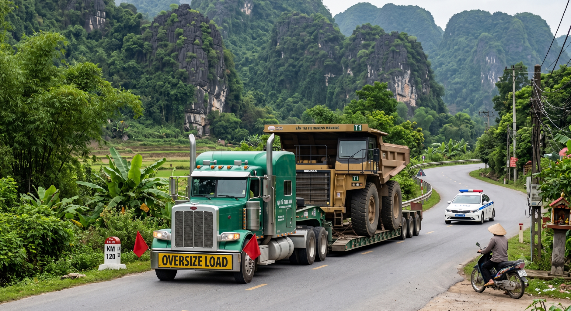
- This specialized routing optimization software automates complex permitting and transport routing workflows based on specific jurisdictions. The platform effectively manages road restrictions and safety protocols for oversized and overweight commercial vehicles.
Purpose-Built Custom Solutions for Essential Industrial Sectors
Resolving Intricate Infrastructure Challenges while Maximizing Long-Term Asset Registry Integrity
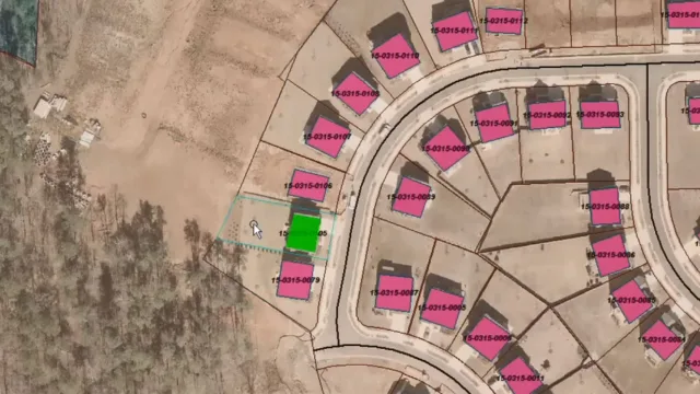
Urban Planning and Municipal Utility Infrastructure Management
- Advanced spatial relationship analysis tools allow public authorities to accurately verify localized building density constraints. This capacity resolves traffic bottleneck patterns and supports long-term sustainable transport routing designs.
- Temporal analytical tracking tools analyze physical urban footprint changes across historical inspection dates. This solution produces a comprehensive framework to guide structural public capital expenditures.
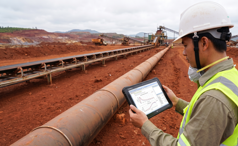
Energy, Oil and Gas, and Industrial Piping Design Networks
- Linear referencing system management coordinates real-time monitoring across cross-country petroleum pipelines. The solution supports early hazard detection to minimize environmental compliance liabilities for oil operators.
- Multi-level linear referencing systems map physical asset attributes directly onto dynamic pipeline schematics. This capacity permits field crews to accurately pinpoint structural weld vulnerabilities along vast segments.
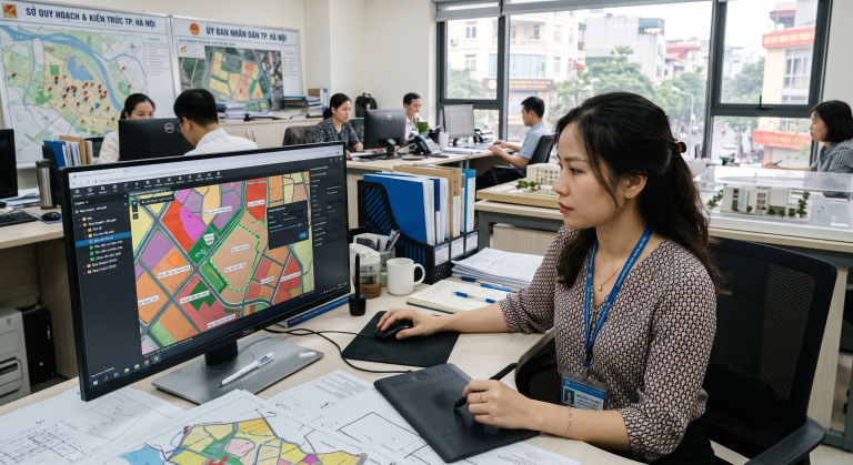
Photogrammetry, Civil Surveying, and Remote Sensing Operations
- The ImageStation software bundle converts raw unmanned aerial vehicle photographs into high-precision digital elevation matrices. This capacity furnishes highly reliable engineering basemaps for large civil projects.
- Deep integration with the Spatial Modeler engine automates raster classification sequences over vast territorial maps. The process accelerates production schedules for compiling official cadastral datasets.
Clarifying Technical Queries Regarding Octave GeoMedia Solutions
Octave GeoMedia is the official updated version of the legacy GeoMedia platform. The underlying processing speed and core spatial logic remain consistent while receiving modern functional updates under the unified Octave identity.
The platform deploys a concurrent network usage model where multiple technical workstations share access from a shared central licensing pool, maximizing utilization rates.
Yes, the product packaging structure permits independent add-on integration, enabling businesses to add modules like GeoMedia 3D or Transportation Manager when specialized project demands arise.
TrueTech coordinates directly with Octave software engineering hubs to deliver enterprise technical support within local time zones, handling software patch deployment and expert architectural consulting.
Launch Your Geospatial Infrastructure Digitalization Initiative with TrueTech
Our Professional Engineering Support Squad stands Ready to Optimize Your Technical Software Infrastructure

