Mobile LiDAR Solutions for Accurate 3D Topographic Surveying
Advanced mobile laser scanning technology capturing spatial data at high speed and millimeter accuracy for all engineering projects.
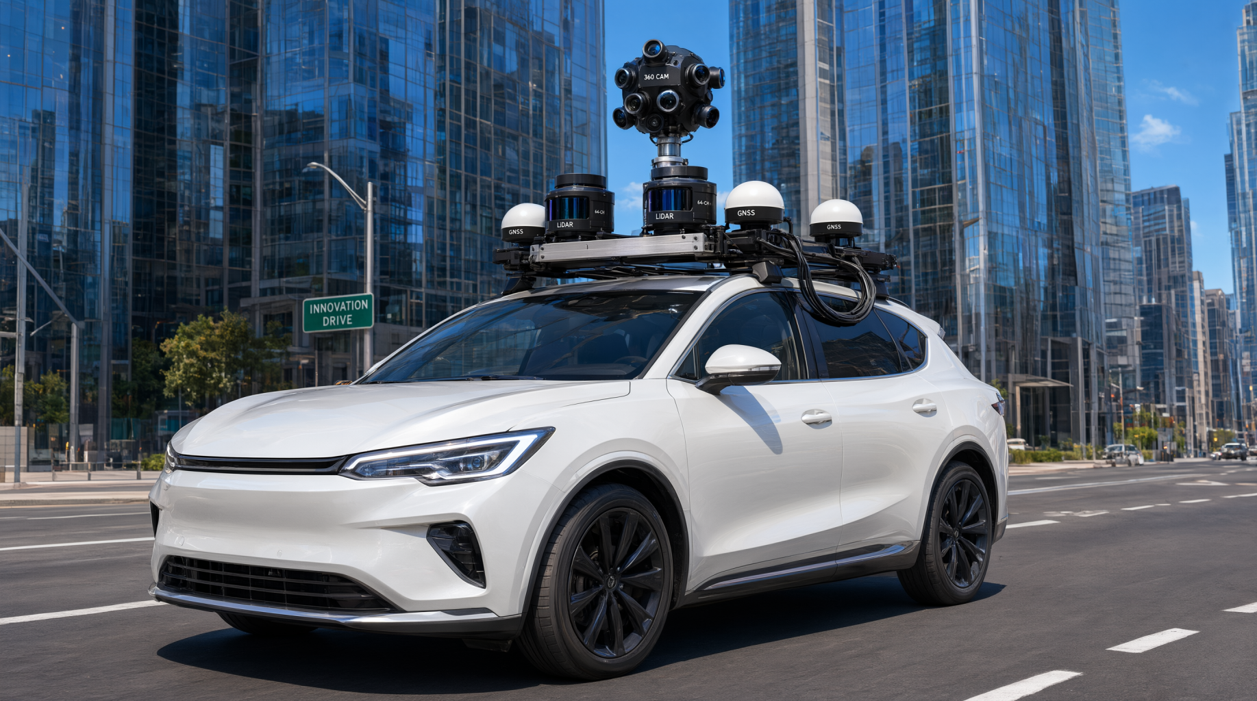
Core Technological Features
Technical specifications and advanced sensor technologies of the mobile laser scanning system.
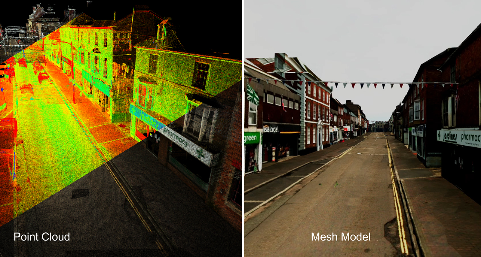
Advanced Laser Scanning Sensors
Multi-beam laser scanning systems operating synchronously at extremely high measurement frequencies.
- Integrates high-performance laser scanners measuring up to 800 meters.
- Measurement speed up to 1.1 million points and 400 profiles per second.
- Online waveform processing technology penetrating obstructions like fences and vegetation.
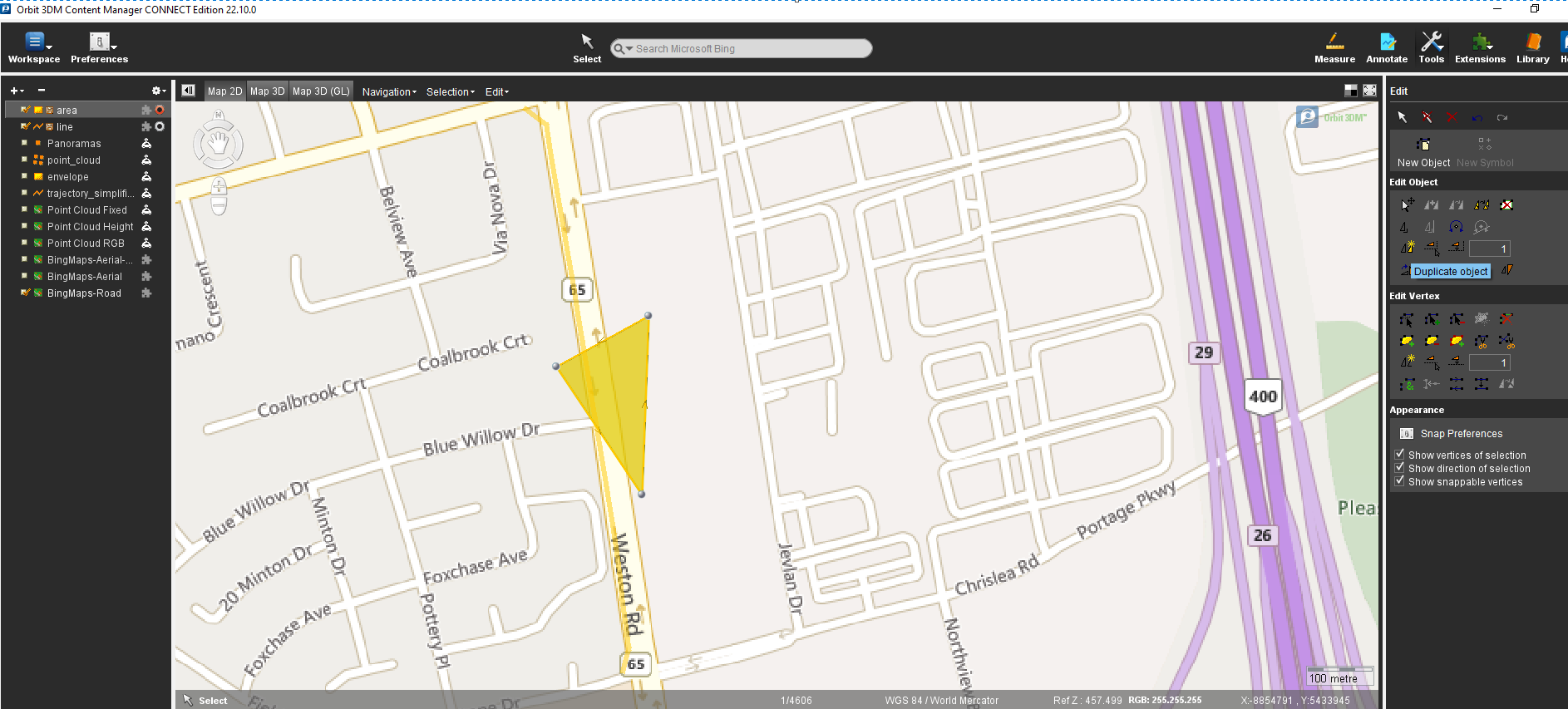
Navigation and Positioning Systems
The perfect combination of IMU and GNSS to ensure absolute accuracy.
- Integrates a central control unit synchronizing all collected data.
- Post-processed absolute position accuracy reaching 0.020 to 0.050 meters.
- Roll, pitch, and true heading accuracy optimized for complex urban environments.
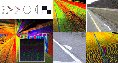
Synchronized Digital Camera Systems
Capturing high-resolution images with real-time timestamping for every data point.
- Equipped with panoramic or digital cameras with resolutions of 5 megapixels or higher.
- Image data is directly color-textured onto the 3D point cloud.
- Supports feature extraction and visual status inspection using intuitive imagery.
Core Values Delivered
The business benefits and operational efficiencies your enterprise gains by applying this technology.
Optimized Survey Productivity
Significantly reducing the time and manpower required for field surveying tasks.
- High-speed data collection while the vehicle is in continuous motion.
- Completely eliminating the risk of missing objects common in traditional surveying methods.
- Increasing the reliability and accuracy of the entire surveying process.
Synchronized and Versatile Data
Providing diverse outputs serving multiple departments and different workflows.
- Creating a complete 3D model representing all objects along the survey route.
- Ability to share data widely for back-office departments to exploit concurrently.
- Direct compatibility with CAD design and information modeling software.
Key Application Industries
The wide range of applications for mobile laser scanning technology across various industries.
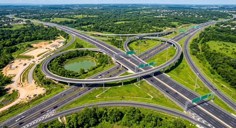
Transportation Infrastructure
The optimal solution for surveying long linear entities.
- Detailed surveying of roads and highways.
- Status inspection of railways and safety corridors.
- Topographic mapping for waterway routes.

Smart City Urban Planning
Digital spatial data foundation serving urban management and development.
- Building detailed and accurate 3D urban models.
- Digitizing architectural status and supporting historical heritage conservation.
- Visual management of infrastructure assets and urban spaces.
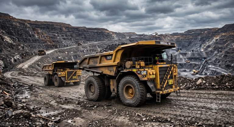
Mining and Resource Management
Efficient surveying tools for large-scale extraction areas.
- Calculating mine reserves with high accuracy.
- Managing safety and monitoring transportation routes within the mine.
- Tracking topographic changes in real time.
Frequently Asked Questions
The adaptability of the sensor system to natural environmental factors.
- – The system is designed to operate stably under various environmental conditions.
- – Waveform processing technology helps penetrate light vegetation or minor obstructions.
The ability to integrate data output into existing enterprise workflows.
- – Data is exported in the industry-standard LAS file format.
- – Fully compatible with popular CAD and 3D modeling software.
- – Our technical team supports format conversion according to project requirements.
Connect with our expert team to receive the optimal solution for your project.
For detailed consultation on Mobile LiDAR solutions and to reference samples or compare commercial products suitable for your project, please contact the TrueTech expert team directly.
Dedicated Technical Support
Proven Solutions
Trusted Partner of 100+ Enterprises

