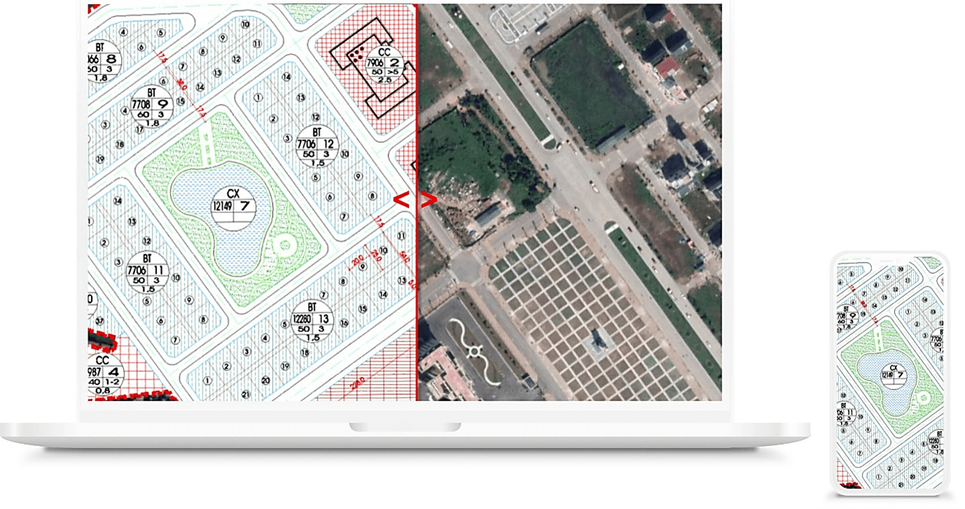
Understanding the importance of monitoring land use and licensed construction, TrueTech develops the solution to monitoring and warning violation of urban planning and construction based on rich experiences in collection, build-up and management of GIS and remote sensing technology. The solution is built on digital maps and multi time remote sensing images. Using GIS tools with powerful and in-depth analysis capability, visual images and objective information about urban changes and expansion in urban areas are provided, helping to detect early violations, have on-time actions about land use or urban construction and ensure constructions under approved plans.
Typical features
Storage and processing of remote sensing images
With the storage and processing capacity of big image data, the system allows online high-speed use of multi time remote sensing images.
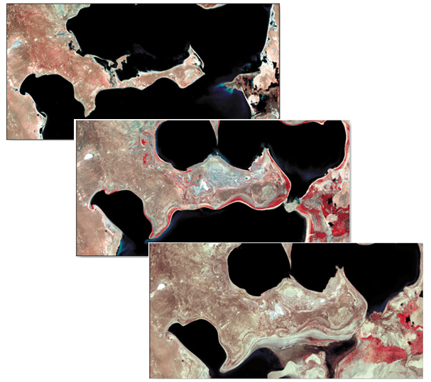
Categorization of image objects like trees, housing, water, etc is built in for automatic determination by users.
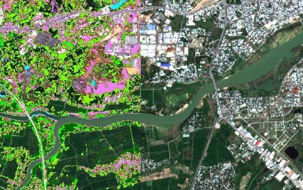
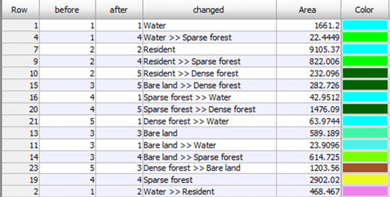
Monitoring changing purposes of land use at different times
Locations where changes in land use purposes or in used areas and changing trends based on automatic analysis and comparison of remote sensing images at 2 times are periodically monitored and visually reported.

Detection and warning of land use violations
Land use planning and construction licensing are publicly updated.
Violations of land use planning and construction licensing are automatically detected by analysis functions of remote sensing images. Warnings are sent to authorized personnel via e-mails or smart phones to prevent and react to the violations.
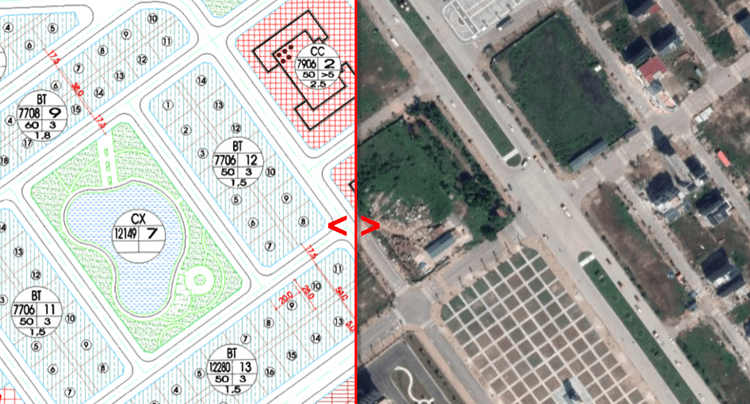
Field checks in terms of violation verification, examination and resolution are supported both online and offline on mobile devices.
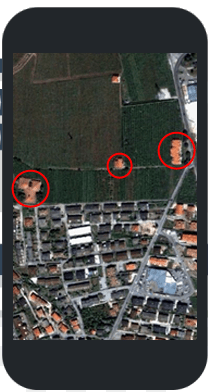
Remote sensing images, data and digital map can be shared among departments, units or personnel to help save costs and validate data in the same area.
The solution which is a combination of GIS and remote sensing technology achievements and tools is deployed on cloud to provide a different user experience.
Users can use free various remote sensing images and only pay for advanced needs like high resolutions or weekly/monthly/quarterly update.
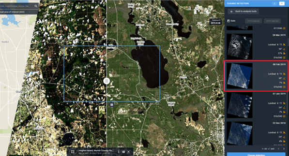
There is no need to install any software on the client side. All is an internet connected PC or smart phone to access anytime anywhere.




Comments