
Remote Sensing Software
Core Values of Octave Imagine
The only platform that comprehensively addresses remote sensing and geospatial analysis needs
Unified All-in-One Platform
- Octave Imagine unifies remote sensing, photogrammetry, LiDAR analysis, vector analysis, and radar processing within a single product. Users do not need to switch between multiple software applications, thereby reducing the time spent learning interfaces and improving daily work efficiency.
- Integrating multiple capabilities within one platform helps reduce software licensing costs, minimize training requirements, and ensure data consistency throughout the entire analysis workflow from input to output.
Extensive Data Format Support
- Octave Imagine supports a wide variety of data formats including satellite imagery, aerial photography, LiDAR data, and numerous other geospatial data types. Broad compatibility allows users to maximize existing data investments without format conversion.
- The software integrates a wide range of satellite sensor models, enabling direct reading and processing of data from multiple satellite providers worldwide. Users require no intermediate conversion tools, reducing data preprocessing time.
Automation and Enhanced Productivity
- Batch processing and automated processing chains minimize manual intervention, ensuring reproducibility and consistency of analysis results at scale. Users configure a workflow once and apply it across thousands of datasets.
- Multi-core and multi-workstation support through the Imagine Engine module enables computational load distribution, reducing processing time for large-scale projects compared to single-machine solutions.
- The intuitive interface and ready-made processing models help new users quickly adopt and effectively utilize the software, reducing initial training time for technical teams.
Flexible Extension Ecosystem
- With 11 specialized add-on modules, Octave Imagine enables capability extension from photogrammetry and SAR radar to image compression and terrain editing without investing in separate third-party software. Each module operates seamlessly within the core platform.
- The Spatial Modeler SDK enables building custom operators and integrating artificial intelligence models, meeting the demand for developing organization-specific solutions. This extensibility ensures the software remains aligned with evolving operational requirements.
Seamless Octave Ecosystem Integration
- Octave Imagine integrates seamlessly with other products in the Octave ecosystem, creating a connected and efficient geospatial workflow. Data is shared automatically between modules, reducing manual import-export operations and the risk of information loss during conversion processes.
Versatile Data Processing Capabilities
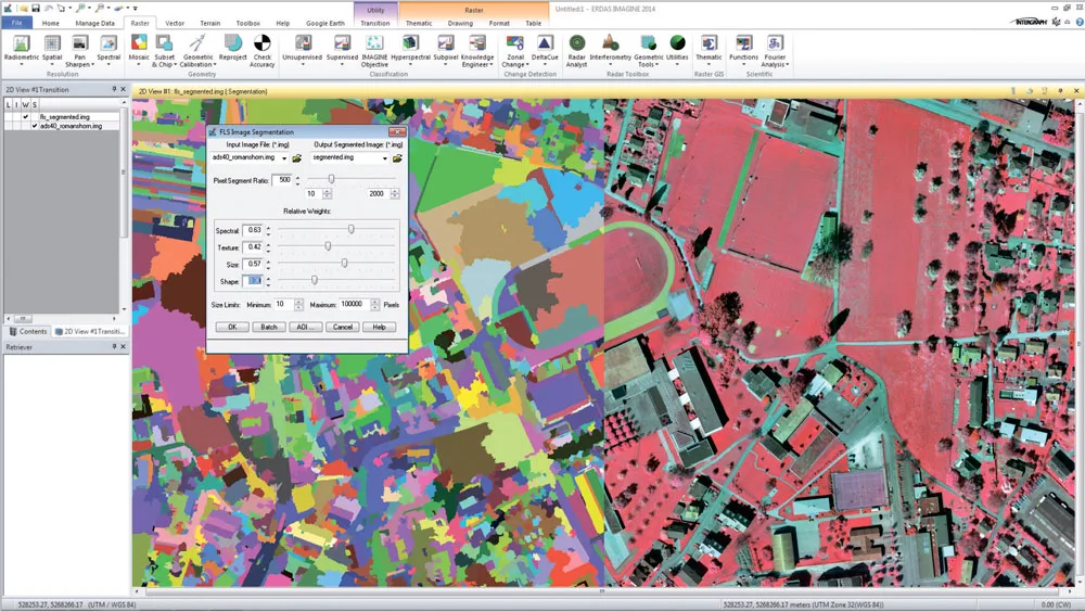
Satellite and Aerial Imagery Processing
- Octave Imagine integrates a wide range of satellite sensor models, enabling users to work directly with raw data from multiple satellites worldwide. This capability ensures high flexibility when integrating data from diverse sources within a single project.
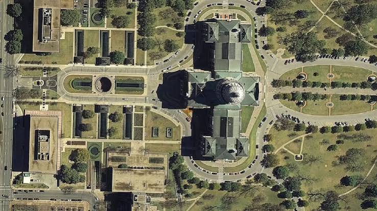
- The ortho mapping and orthomosaic generation tools produce geometrically accurate imagery from aerial and satellite data. The resulting orthomosaics serve mapping, resource monitoring, and territorial planning with high reliability.
LiDAR and Point Cloud Processing
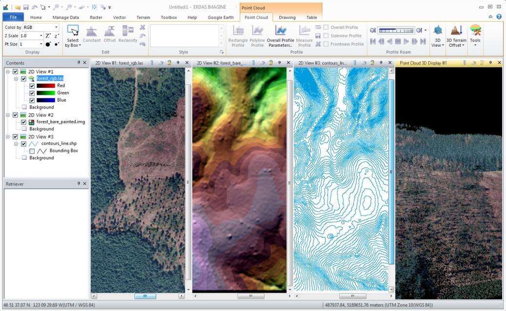
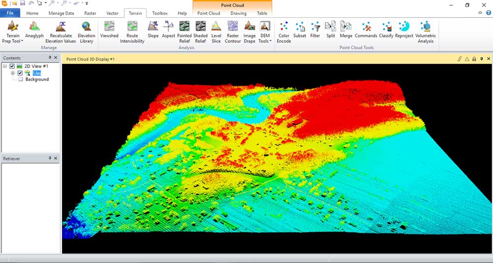
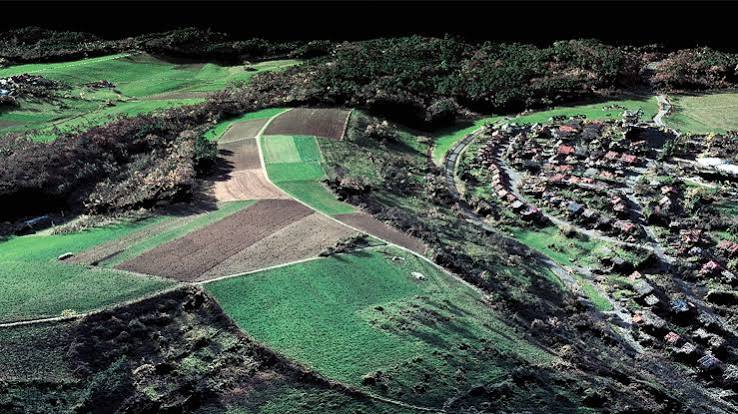
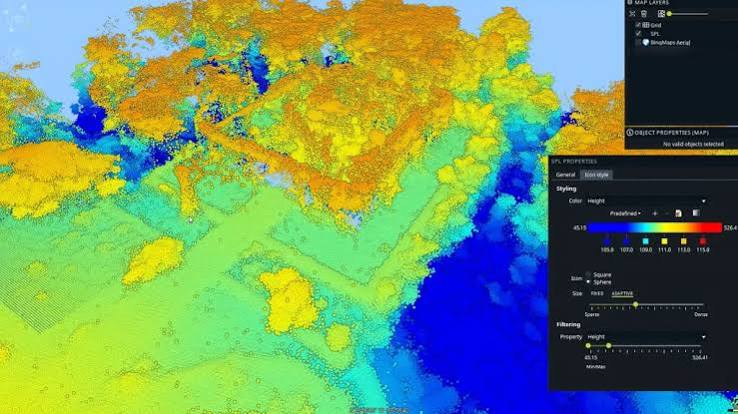
- Octave Imagine provides tools for converting raw LiDAR point cloud data into highly accurate Digital Surface Models (DSM) and Digital Terrain Models (DTM). The automated 3D model generation workflow significantly reduces processing time compared to manual methods.
- LiDAR analysis capabilities enable extraction of information about tree canopy structures, rooftops, and ground surface objects from airborne laser scanning data. Extracted data supports urban planning, forest management, and infrastructure design.
SAR Radar Data Processing
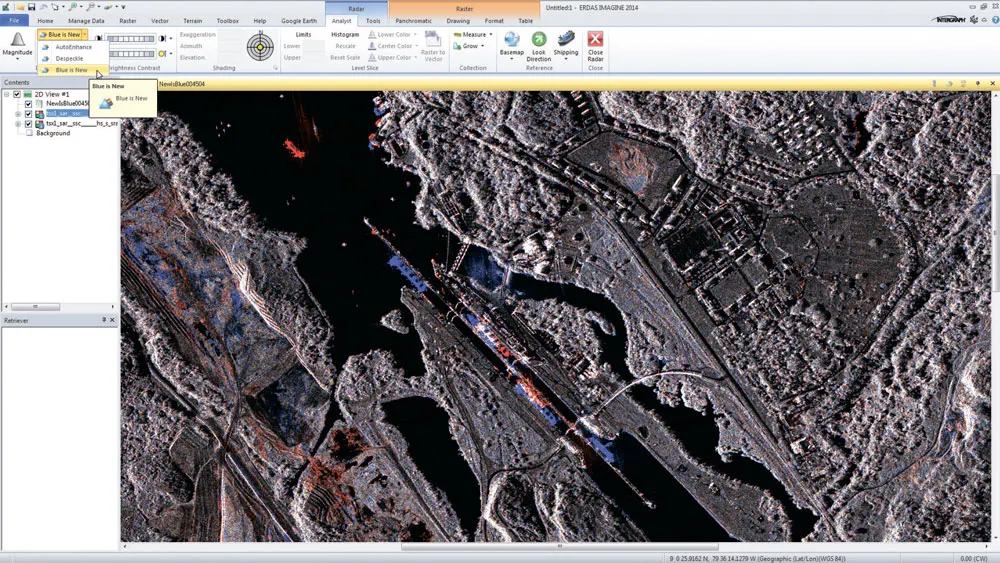
- The integrated module enables processing of SAR (Synthetic Aperture Radar) data, supporting SAR Interferometry analysis to extract elevation data and detect surface deformation from multi-temporal radar imagery. This capability is critical for infrastructure monitoring and subsidence detection.
- Feature extraction tools automatically identify and classify objects from radar data, supporting monitoring and analysis under adverse weather conditions or at night when optical imagery is unavailable.
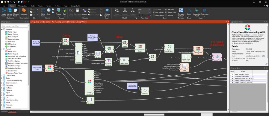
Create and Automate Processing Chains
- Octave Imagine allows users to create complex processing chains and save them as reusable models. This capability ensures consistency in analysis results and eliminates errors caused by repeated manual operations across multiple projects.
- Spatial Modeler, an accompanying add-on module, extends automation capabilities by enabling geospatial workflow construction with a drag-and-drop interface. Users without programming skills can design complex workflows with hundreds of processing steps.
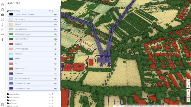
Batch Processing and Multi-Core Computing
- Octave Imagine supports multi-core processing, enabling full utilization of workstation computing power to handle multiple tasks simultaneously. The Imagine Engine module extends this capability by distributing computational load across multiple workstations on the local network.
- Batch processing enables handling large volumes of imagery data without continuous supervision. Users can set up hundreds of processing tasks and let the software run automatically overnight or during periods when the machine is not in active use.
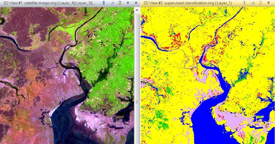
Automated Image Classification
- Octave Imagine provides a powerful suite of image classification tools, including supervised and unsupervised classification, enabling land cover segmentation and surface object identification from satellite imagery with high accuracy. Classification results support planning and resource management.
- Object-Based Image Analysis (OBIA) algorithms group pixels with similar characteristics into meaningful objects, making it ideal for detailed analysis in urban and agricultural environments. This approach outperforms single-pixel classification when working with high-resolution imagery.
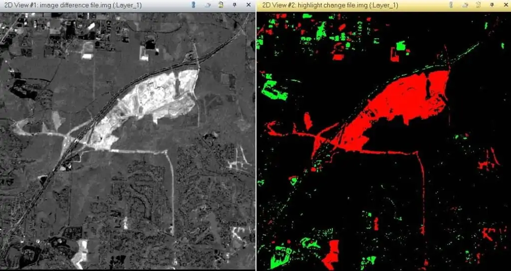
Change Detection
- The Change Detection function compares satellite imagery from different time periods to precisely identify the location and magnitude of changes. This capability supports urbanization monitoring, deforestation tracking, and land use change assessment across temporal cycles.
- Change analysis results are exported as maps and reports, supporting rapid decision-making for managers and planners. Output data integrates directly into Geographic Information Systems (GIS) for in-depth analysis.
Octave Imagine Product Portfolio
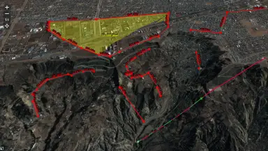
Octave Imagine Web - Imagery Exploitation for Defence
Octave Pro600 - Production Mapping Optimization
Octave ECW Compression - High-Quality Image Compression
Octave GeoCompressor - Image and Point Cloud Compression
Comprehensive Extension Ecosystem
11 specialized add-on modules to meet industry-specific processing demands
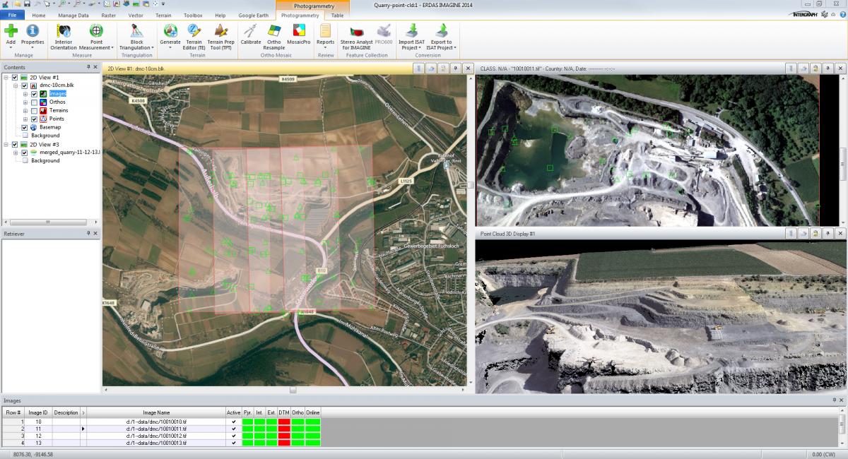
Imagine Photogrammetry
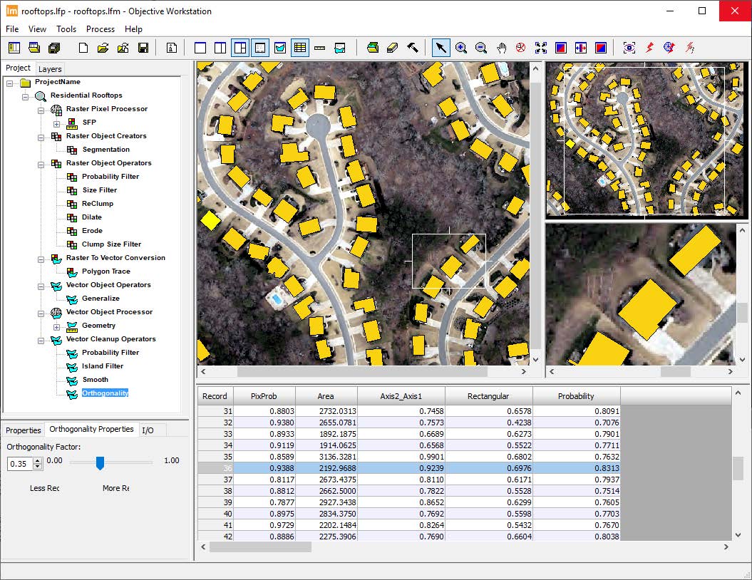
Imagine Objective
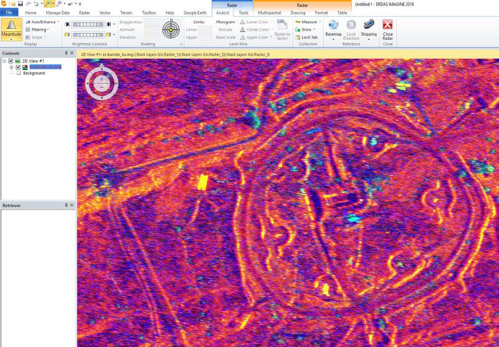
Imagine SAR Interferometry
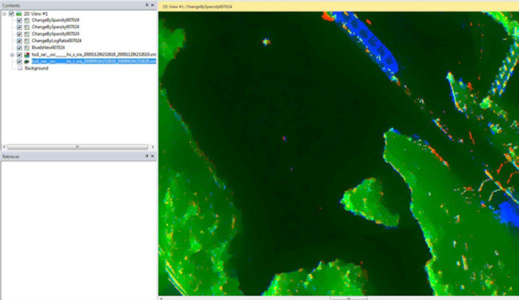
Imagine SAR Feature Extraction
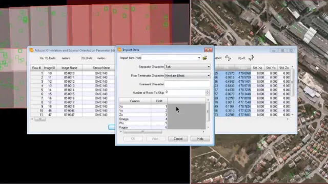
Imagine DSM Extractor
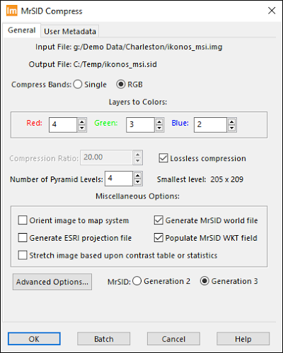
Imagine MrSID Encoders
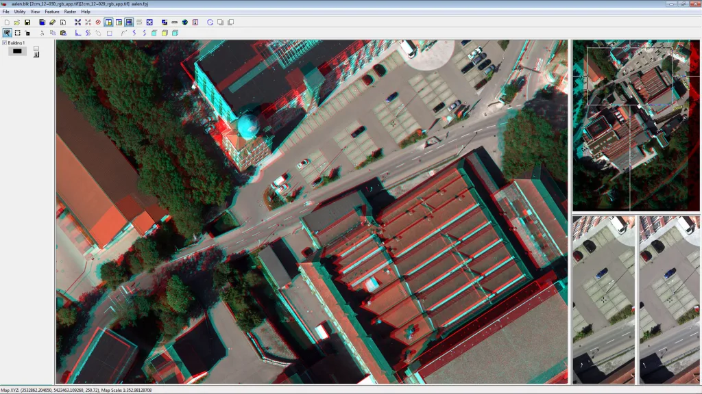
Imagine Expansion Pack
Imagine Terrain Editor
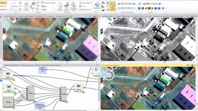
Spatial Modeler SDK
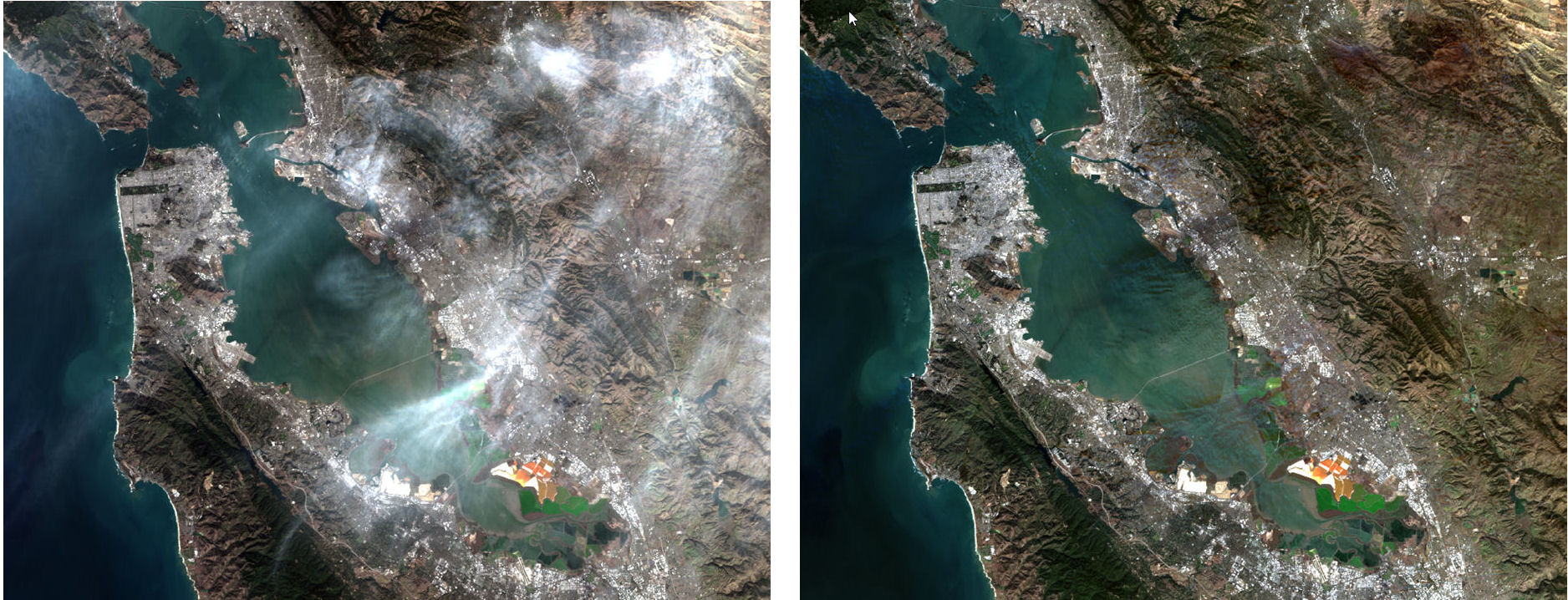
ATCOR Workflow
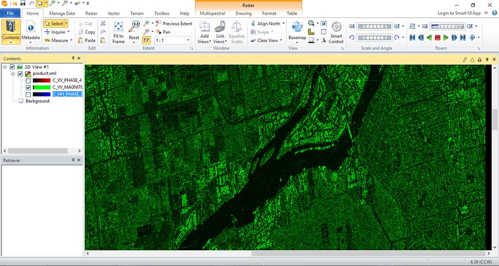
Imagine Engine
Industry Applications
Optimized remote sensing solutions for diverse government and industrial sectors
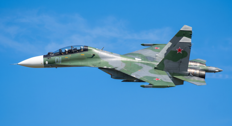
Defense and Security
- Imagine Web provides dedicated imagery exploitation capabilities for defence applications.
- NITF military format support and compliance with defence data standards.
- SAR imagery processing and analysis for surveillance in all weather and lighting conditions.
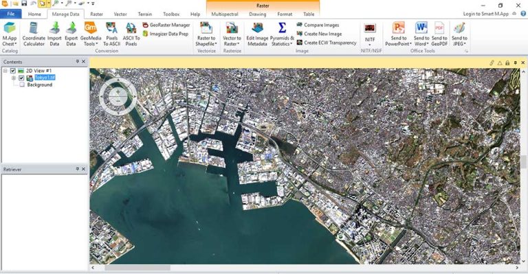
Urban Planning
- Automatic image classification for land-use and land-cover mapping.
- Multi-temporal change detection tracks urbanization patterns over time.
- Accurate DSM and DTM generation for construction planning and flood risk assessment.
- Imagine Objective automatically extracts buildings, roads, and vegetation from imagery.
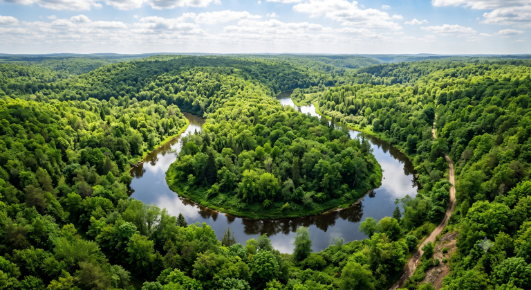
Precision Agriculture
- Vegetation index analysis from multispectral imagery evaluates crop health.
- Multi-temporal monitoring tracks seasonal crop development and detects anomalies.
- ATCOR workflow ensures accurate surface reflectance data for agricultural analysis.
- Automatic image classification distinguishes crop types and cultivation zones.
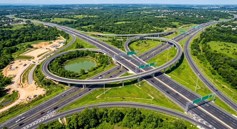
Transportation
- Accurate DTM creation for route design and earthwork volume calculation.
- Imagine Objective extracts road networks from satellite imagery automatically.
- Change detection monitors construction progress of transport infrastructure.
- 3D visualization supports planning scenario presentation and evaluation.
Frequently Asked Questions
Yes, Octave Imagine is the new name for ERDAS IMAGINE. The product was rebranded when Hexagon’s geospatial division became the independent Octave brand. All core features and underlying technology are fully retained and continue to be developed and improved.
Octave Imagine supports a wide range of data types including satellite imagery, aerial photography, LiDAR point cloud data, SAR radar data, and many other geospatial data formats. The software integrates a wide range of satellite sensor models from multiple providers worldwide.
Yes. Octave Imagine provides batch processing and automated processing chains. The Spatial Modeler module enables building geospatial workflows with a drag-and-drop interface requiring no programming skills. The Imagine Engine module extends computational load distribution across multiple workstations.
Octave Imagine offers 11 add-on modules including Imagine Photogrammetry, Imagine Objective, Imagine SAR Interferometry, Imagine SAR Feature Extraction, Imagine DSM Extractor, Imagine MrSID Encoders, Imagine Expansion Pack, Imagine Terrain Editor, Spatial Modeler SDK, ATCOR Workflow, and Imagine Engine. Each module serves distinct specialized requirements.
Yes. Octave Imagine integrates seamlessly with other products in the Octave ecosystem, creating a connected geospatial workflow. Data is shared automatically between modules, reducing manual import-export operations and ensuring data integrity.
TrueTech provides comprehensive technical support including installation, configuration, software training, and ongoing technical assistance throughout the usage lifecycle. TrueTech’s expert team has experience deploying geospatial solutions in the Vietnamese market. Contact the hotline at 024.3776.5088 for consultation.
Contact Us for Octave Imagine Consultation
TrueTech's expert team is ready to support your remote sensing solution deployment

