Overview of integrated spacial data management
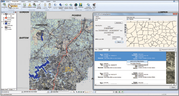
In the situation of challenges in collection, arrangement, storage, sharing and visualization of spacial data to users, a compatible and single-platform solution with unlimited changes according to size and demand is highly realized and needed. Diversity of data formats and structure as well as spacial data quality may lead to duplicates or redundancy but lack of useful information, resulting in increasing need for storage of unused or unclear data. To overcome this, an integrated solution can be used to analyze, remove unused data, add useful properties and integrate them into a single dataset. This solution helps to change data into full, appropriate and ready information.
Smart Management for multi disciplines
As a more than 25-year experienced solution consultant in Geospacials, TrueTech provides Smart Management with highly flexible functions to resolve complicated and specialized challenges by leading suppliers’ technologies like Hexagon, Google, Intermap, etc. Our solution is integrated with users’ various spacial processes including data collection, storage, analysis, management and distribution from levels of personnel, departments, enterprises to multi national organizations. This will help users to search, utilize, analyze and distribute data, enriching databases for improvement of performance and quality. With ERDAS IMAGINE, ERDAS APOLLO, GeoMedia and others, our solution can be deployed on cloud or quantum computers and mobile devices.
Main features
- Multi platform integration: Allow bilateral integration and exchange among systems (CAD, GIS, CCTV, SCADA, EAM, etc), helping easy data sharing and system operation.
- Unlimited connection: Smart Management is integrated with currently available data sources like hardcopies, text, images or CAD/GIS (vector and raster) to provide a full picture of accurate and powerful information, helping better analysis and decision making.

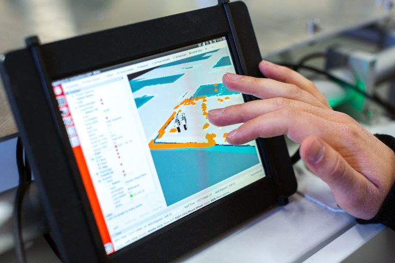
- Multi platform application: Thanks to powerful switch capability between web and mobile platforms, it is easy to share and distribute information to different levels of management, departments or related units, creating bilateral information interaction, exchange, update and collection between managerial levels and the public community.


Comments