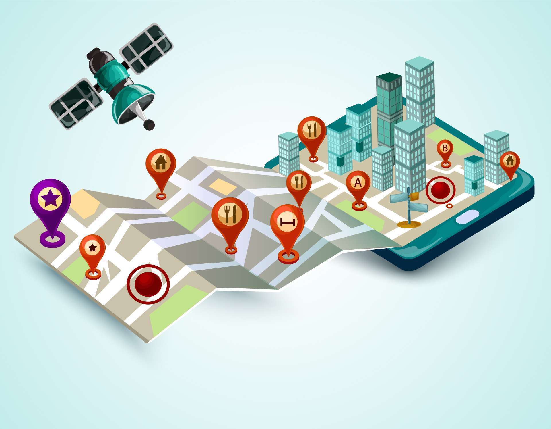
GIS has been effectively applied in many sectors from management of land use, urban, forestry, natural resources, agriculture to path finding. Smart geospatial data can be collected from various sources like satellite, UAV, etc. From this data source, applications are developed for human use in related areas. TrueTech’s solutions are developed on Hexagon’s platform are also widely and deeply used in Vietnam.
Smart geospatial-based management solution


