IMPLEMENTED PROJECTS

Department of Urban Traffic Management No.1
Design and implementation of integrated control system in GIS under “Upgrading and expanding Nguyen Hue road (from Le Loi street to Bach Dang park) project, District 1 – HCMC”, 2014 -2015 ,
2014 -2015
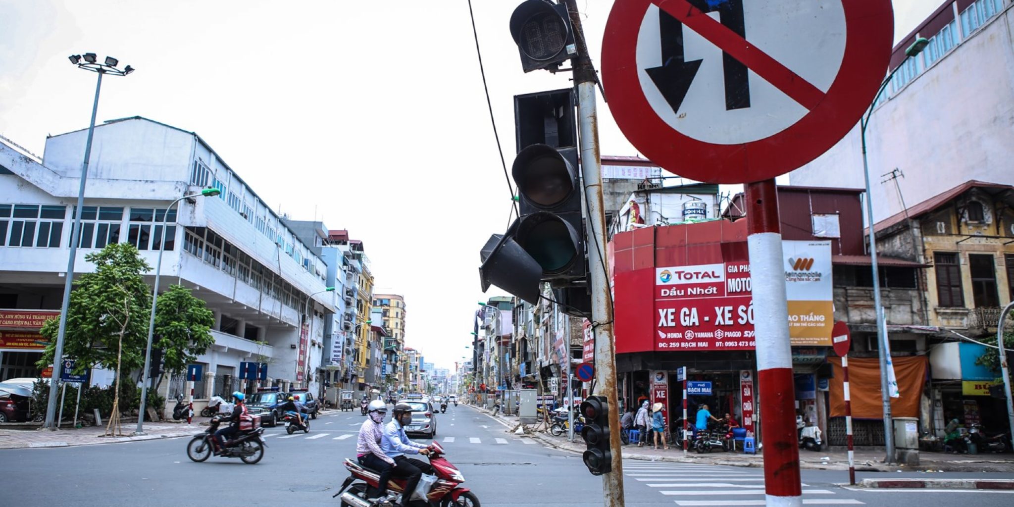
Collecting and building traffic signage database of Vietnam road system
2016
MK Survey Sdn Bhd
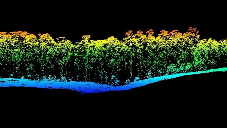
Survey, data collection and processing using LiDAR technology for the elaboration of detailed terrain data for Lembah Klang and Kuantan provinces, Malaysia, 2014
2014
Vietsopetro – Marine Petroleum Research & Historical Institute
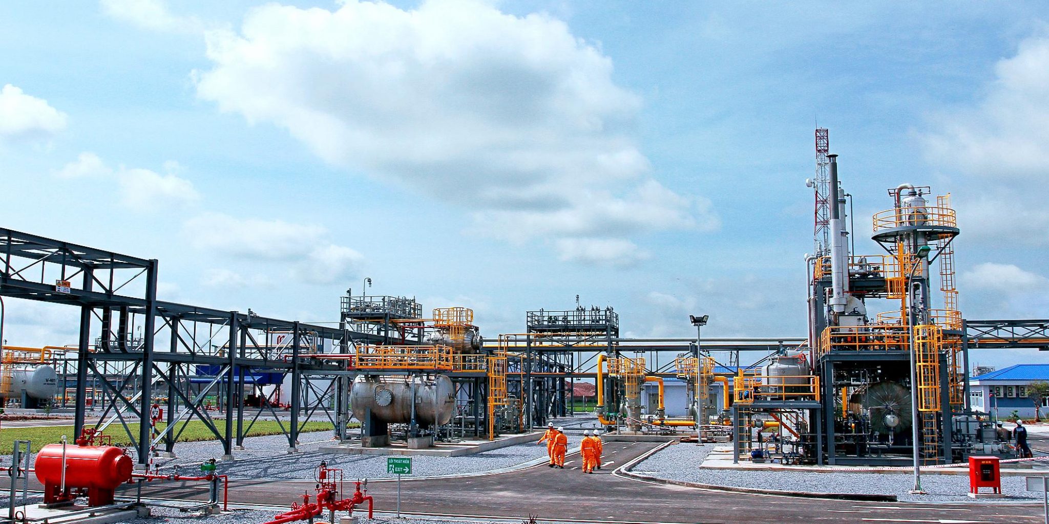
Survey, design and configuration of historical information management system of pipelines for oil and gas exploitation and thematic reports
2014
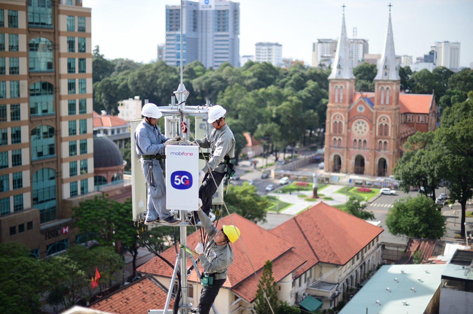
VMS Mobile Information Company
Construction and implementation of maintenance management system in Hanoi, Ho Chi Minh City, Da Nang, Can Tho and Dong Nai
2014
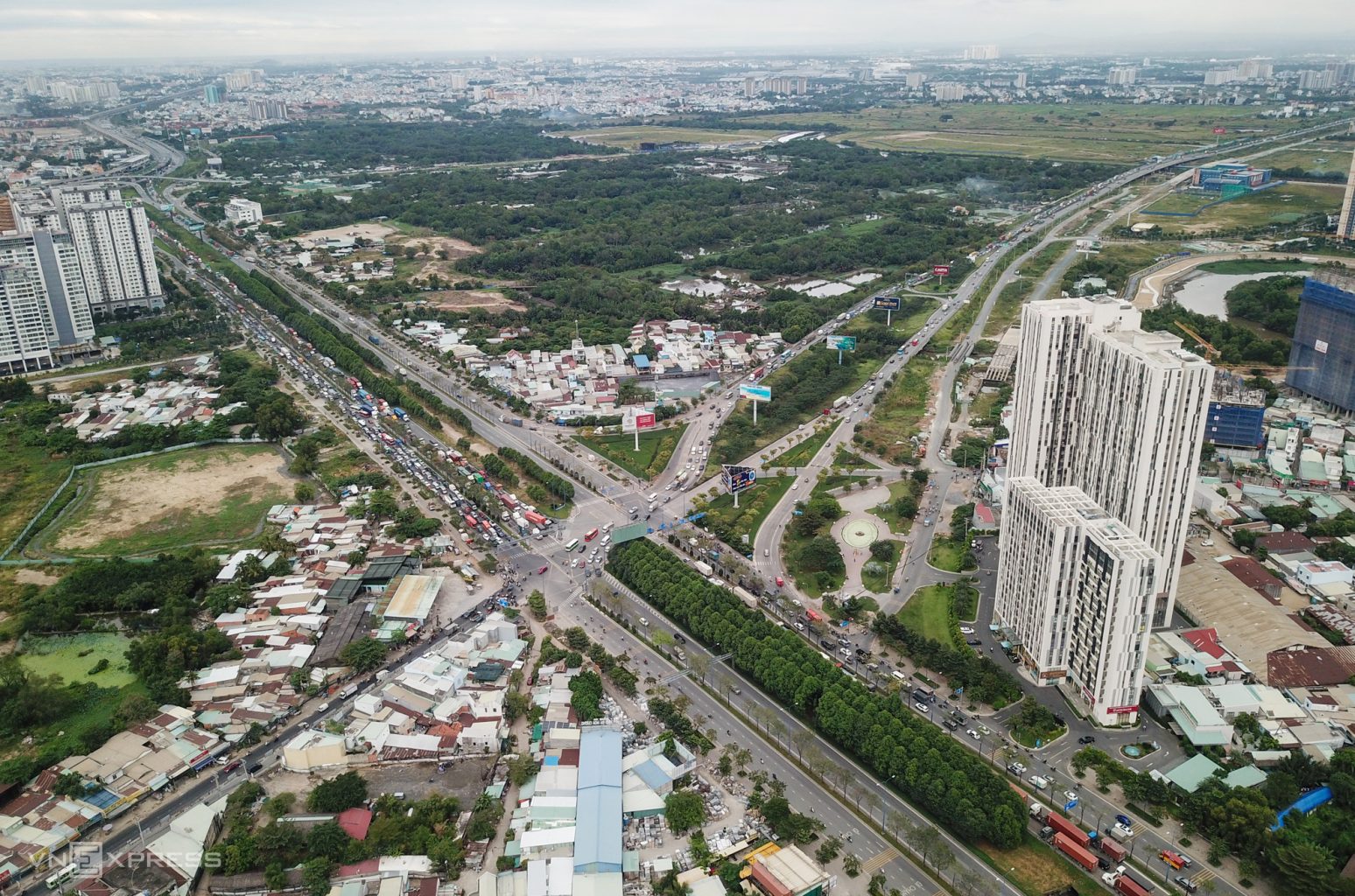
Thu Thiem Tunnel Management Center in Ho Chi Minh City
Construction of traffic management data for the East-West Highway (Thu Thiem Tunnel Management Center) and Ho Chi Minh City based on LiDAR and Earthmine technology
2013 – 2014
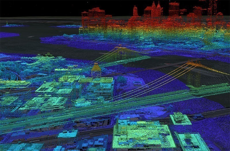
HCM GIS Application Center (HCM Department of Science and Technology)
Applying LiDAR technology to build 3D model for urban management in HCMC, Ho Chi Minh City
2012

Asian Development Bank
Irrigation system in North of the Chu River and South of the Ma River, Vietnam
2010 – 2011
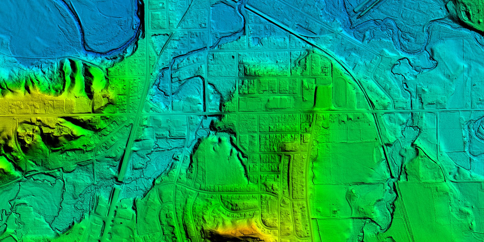
Aerial Topo-photography Survey (APT)
Applying LiDAR solution in developing topographic maps for cities in Vietnam: Phase 2 – Southern cities
2010 – 2011
MK Survey (MKS)
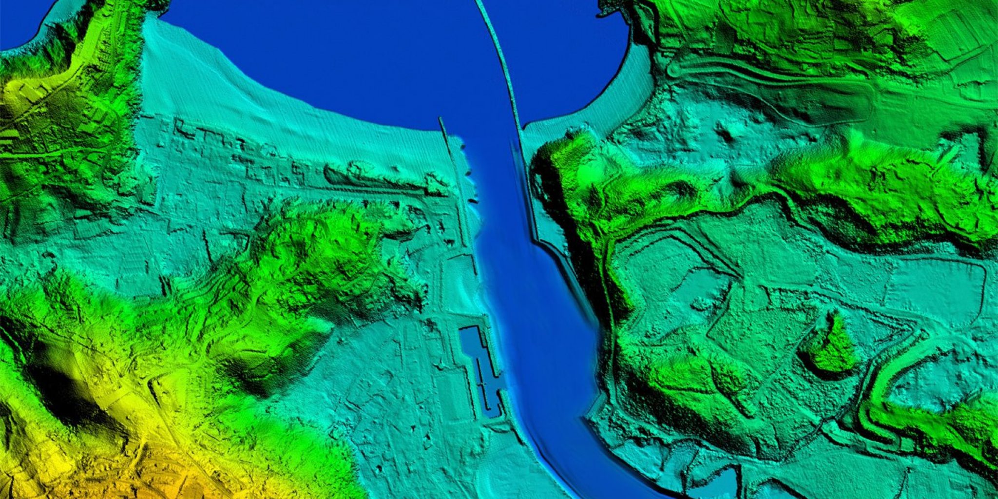
Applying LiDAR technology in topographic mapping for the Timah Tasoh reservoir area, Malaysia
2010

HCMC Telecommunications Service Company
Implement the HCM data integration and maintenance system into TFMS of HCMC Telecom
2009 – 2011
Center for managing and operating public passenger transport
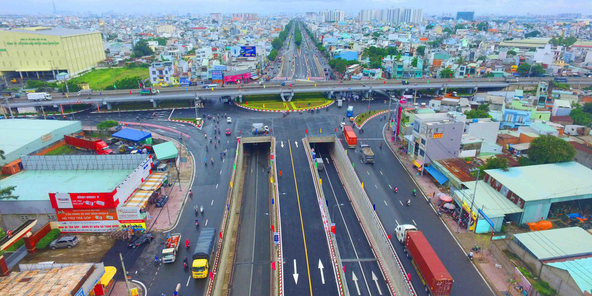
Real-time monitoring, operating and managing the public traffic by using GIS technology
2009
Aerial Topo-photography Survey (APT)
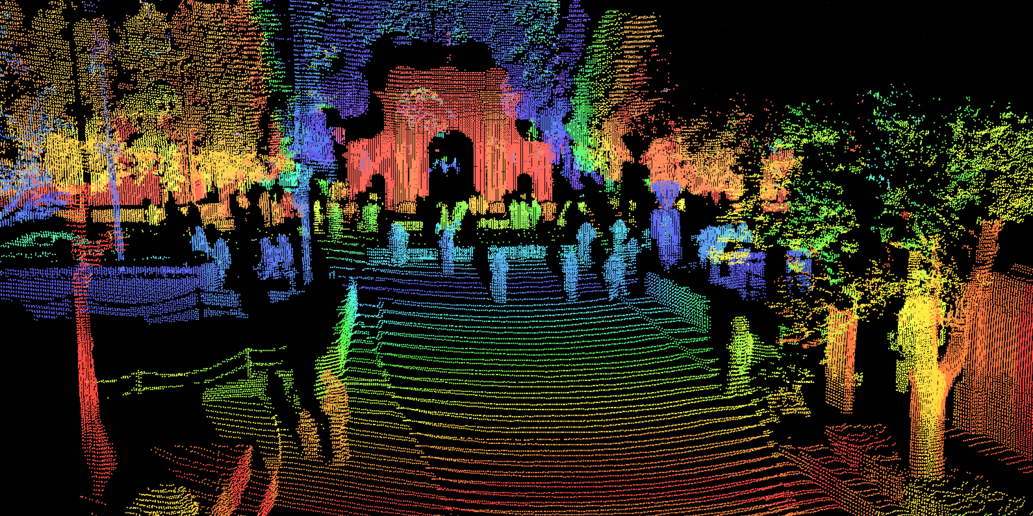
Application of LiDAR solution to develop topographic maps for cities in Vietnam: Phase 1 – Northern cities
2008 – 2010

HCMC Department of Science and Technology
Implementation of GIS technology in management and planning of rehabilitation, upgrading and construction of traffic infrastructure, District 1 of Ho Chi Minh City
2008 – 2009
HCM Land Administration/JICA
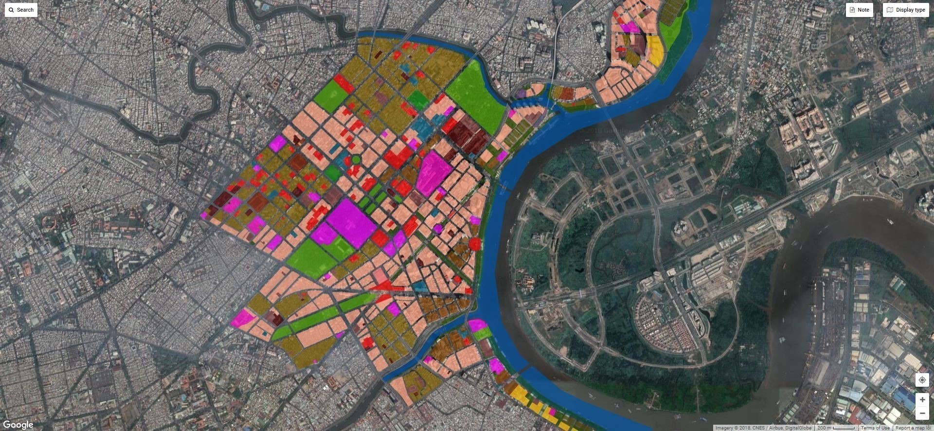
GM-LandReg Project (Phase 2)
2006 – 2007

Southern Inland Waterways, World Bank
Survey, design and construction of the River Management Information System (RMIS)
2005 – 2006
ALMEC Group
Providing base maps for comprehensive urban development programs in Hanoi
2005

HCM Post and Telecommunications Services Company
GIS & GCOMMS Project Implementation
2004 – 2008
Traffic Project Management Broad
Project on enhancing the Management Capacity of Hanoi Transportation
2002 – 2003


