GIS data is the basic and critical component of any GIS system, which determines the quality of the whole system. In addition to data provision, other services like GIS database collection and cleansing in formats of SHP, Geodatabase, etc., to meet the requirements of spatial data ruled by Ministry of Information and Communication are provided.
Resources
Main features
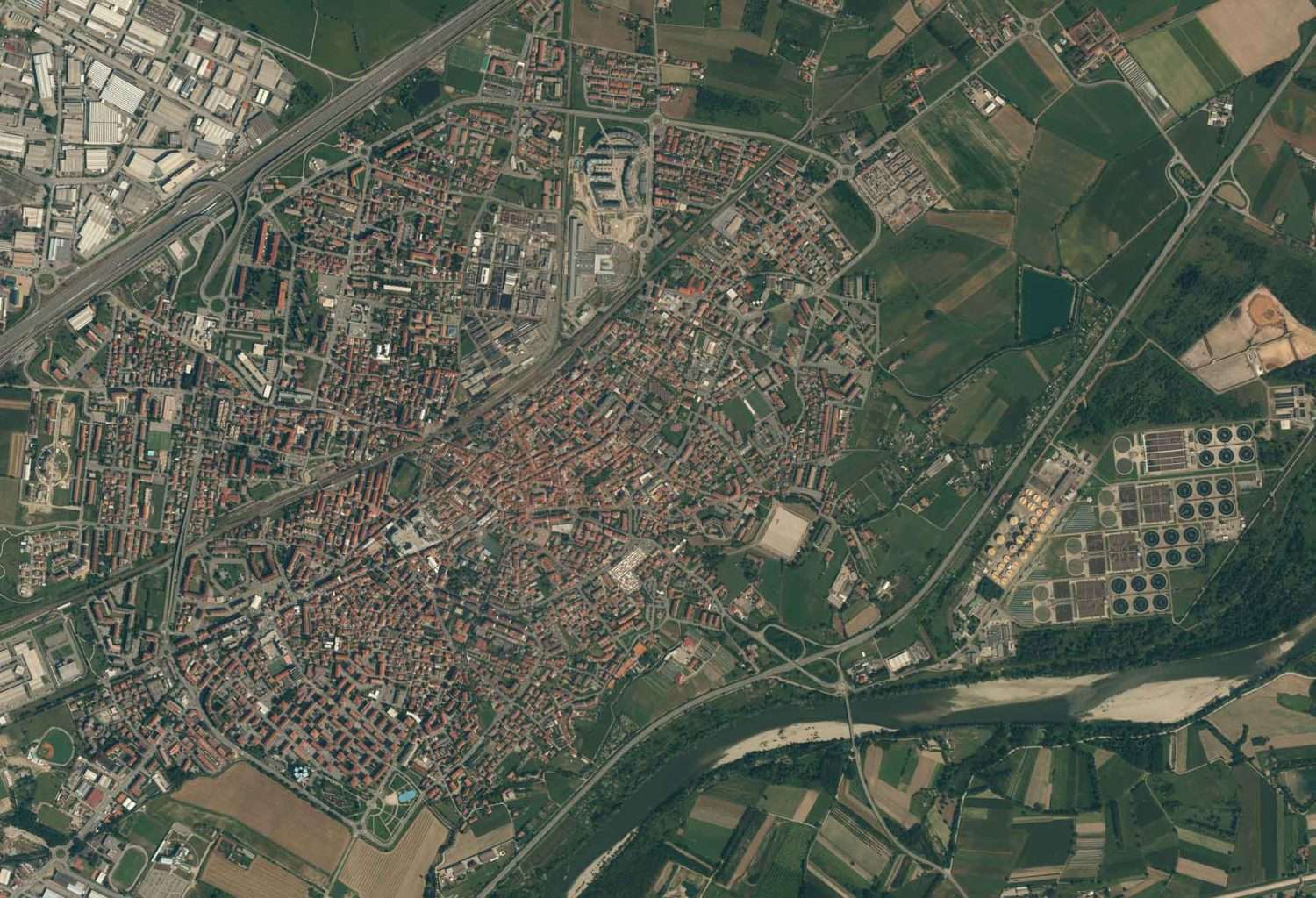
TrueTech currently is the image distributor captured from different remote sensing sources, including frequently updated optical and radar images of 0.5-, 1-, 1.5-, 5-, 10- and 30-meter resolutions all over Vietnam. Additionally, airborne and UAV images are also provided to meet the requirements of more detailed analysis and application. Depending on specific requirements, remote sensing images are processed to appropriate levels or value-added like specialized image and image map in formats ò GeoTIFF, ECW, IMG, etc.
Digital Elevation Model (DEM) is the surface elevation, widely applied in calculating masses in construction, creating contours in topographic maps, creating 3D maps, modelling urban floods, zoning sewage in agriculture, etc. As the partners of Intermap, Capella and with rich experience in building maps with Lidar technology, Truetech’s DEM products are varied and appropriate with different requirements.


