Document
Focusing on needs within the defense domain, LuciadCPillar provides the foundation for advanced geospatial applications. Developers can create high-performance Command and Control and location intelligence applications thanks to the clean design and modular structure of the LuciadCPillar API.
As a configurable API, LuciadCPillar allows you to integrate visualization components, add support for custom data or databases, apply your own custom data styling and symbology, or match the user interface to mirror your company’s unique needs and style. You can also explore data in a 2D or 3D map view.
Why You Should Choose LuciadCPillar:
➔ Build C++ or C# mission-critical desktop-based solutions that handle geospatial data with the accuracy required for mission planning
➔ Work with standardized defense symbology formats, including MS2525 and APP-6
➔ Visualize real-time dynamic data, such as flights, vessels, or people, with tens of thousands of moving assets
➔ Manage different data and maps in different projections, in 2D and 3D
Capabilities
Bring Your Own Data
Connect hundreds of static, dynamic, real-time datasets for true situational awareness. LuciadCPillar also includes data connectors for OGC WMTS and GeoPackage.
2D and 3D Visualization
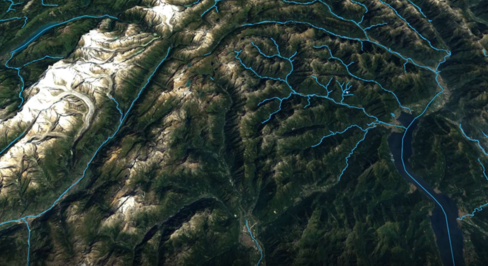
Use the same code for 2D and 3D visualization with a simple map configuration that can easily be switched. LuciadCPillar automatically drapes any data, with any style, in 3D to follow the terrain.
Track Display
Visualize and update a high number of tracks in real time or simulate in fast time based on a recording. LuciadCPillar is specifically suited for the creation of common operating and recognized air pictures.
Out-of-the-Box Defense Symbology
Search for and create 2D and 3D military symbols. LuciadCPillar supports the latest standards and formats, including APP-6A, APP-6B, APP-6C, APP-6D, MS2525b, MS2525c, and MS2525d.
Transformation and Projection Engine
Access and represent data in any coordinate reference system (geodetic, geocentric, projected) and perform advanced geodetic calculations and transformations.


