Capabilities

Capabilities

With the high-performance streaming imagery protocol ECWP, ERDAS APOLLO includes the fastest image delivery system on the market.

Harvest, Catalog, Secure, and Publish All Data Types

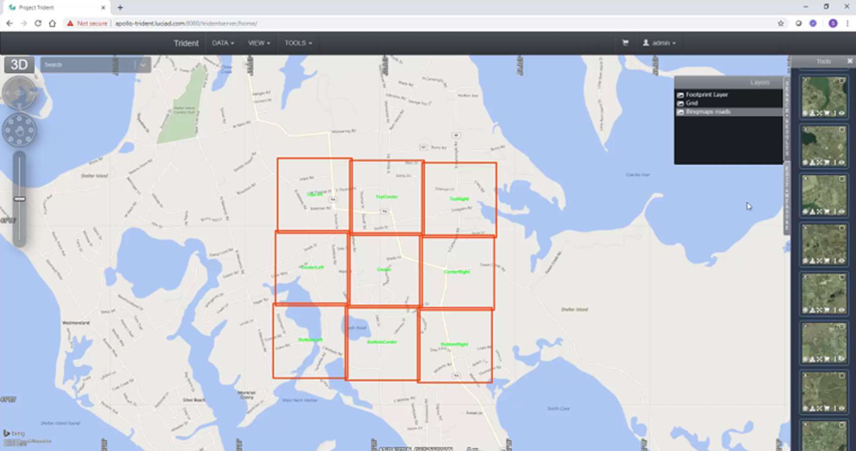
ERDAS APOLLO comprehensively catalogs ALL of your data – including vector (GML, Shapefile, FGDB), point clouds, imagery, and ancillary business data – all in a single crawler.

A Host of Delivery Options

ERDAS APOLLO provides the greatest flexibility for geospatial data delivery, enabling dissemination into any client, on any device.

Completely Interoperable

ERDAS APOLLO embraces OGC services as a primary, native implementation for accessing data. This ensures the greatest interoperability and flexibility when integrating ERDAS APOLLO into your current workflows.

Flexible Deployment

Choose a deployment model that is simple, flexible, and fits your needs and budget. Implement your ERDAS APOLLO solution where it makes sense for you: on-premises or on the cloud.

Case Studies

Modernizing Operations for Mapping Needs with Survey of Kenya

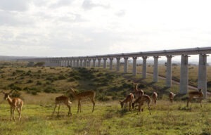
Ranging from tropical forests and beaches to arid deserts and grasslands, the diverse landscape of the east African country of Kenya is a challenge to map. Survey of Kenya needed to modernize their way of mapping the area to keep up with the evolving capabilities of geospatial technology and better meet mapping needs to support operations and decision-making within their country. By adding a variety of photogrammetry, terrain editing, and remote sensing tools to support the photogrammetric operations, and implementing an online cataloging system to make their data more accessible, Survey of Kenya has improved both the speed and convenience of their mapping production.

Read more »

Monitoring Forest Cover Changes in Madhya Pradesh

Forests represent a significant resource for the state of Madhya Pradesh, India, with both forestry and non-timber forest products, such as medicinal herb collection, contributing to the welfare of the citizens. Owing to the economic importance of forest wealth, the Madhya Pradesh Forestry Department implemented an integrated platform to conduct change analysis studies over time, land use surveillance, and forest mapping, all processed on a central data server. Reports are distributed to over 15,000 committees in their geographically dispersed workforce that serve to protect and manage forests in the state.

Read more »

Land Parcel Identification System Serves Farmers Efficiently

The agricultural policy in the European Union (EU) involves one of the biggest financial transactions in the annual budget. This calls for a careful and precise registration of those farmers eligible to receive subsidies, plus the amount they are entitled to. Each country in the European Union manages their own Land Parcel Identification System (LPIS) to identify agricultural parcels. For the Netherlands, the Ministry of Economic Affairs and Climate needed a solution that responds fast and reliably during peak surge submissions. Learn how Hexagon’s imagery and data management solution as well as image compression technology performs efficiently under pressure.

Read more »

Videos