Capabilities

Visually Lossless Compression

Wavelet compression algorithm achieves 15:1 compression ratios at a visually lossless quality level.

Fastest Compression and Decompression

ECW compression is at least 50% faster at compressing images than other compression techniques.

ECW Plugin for AutoCAD

With ECW support, ArcGIS Server users can leverage compression technology capable of quickly decompressing and opening massive files.

ECW Plugin for AutoCAD

Stop struggling with raster data handling in AutoCAD, Map3D, Civil3D, and other Autodesk products and use the free ECW Plugin.

Case Studies

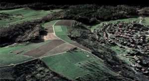
Mapping the Entire Country of Germany

Leveraging geospatial data for various purposes across large, disparate organizations that span an entire country is a tremendous challenge, especially when geospatial data ownership is decentralized across states. Hexagon’s Geospatial division and their partner GEOSYSTEMS Germany were recently awarded a project to help one of Europe’s leading electricity and gas companies – the RWE Deutschland AG. With its headquarters in Essen, Germany, RWE Deutschland sought to organize and manage geospatial data for the entire country of Germany, covering more than 365,000 square kilometers of land area.

Read more »

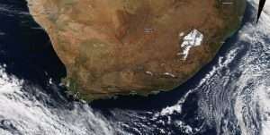
Compress Terabyte-Sized Imagery into a Single Source of Truth

A leading digital aerial photography and GIS/GPS/remote sensing solution provider in Southern Africa, GeoSpace International collects terabytes of imagery of the entire country of South Africa. This staggering amount of data causes both storage and management problems. Using compression technology from Hexagon, they compressed 46,000 image files into one mosaic file. This single 50-cm resolution base map of South Africa streams daily to thousands of users, providing a single source of truth to multiple agencies.

Read more »

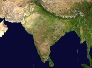
Streaming National Maps as a Service to India

National Informatics Centre (NIC) provides map services and is a lead developer of e-governance applications for the national government of India and different departments of state governments across the country. With a fully developed national image web service in place, NIC ensures that state governments and departments across India have access to 5 TB of high resolution country-wide basemaps rendered with impressive speed, topographic maps, satellite images, and hybrid maps, all aligned to global geospatial standards. This national image web service is used in various e-government applications and provides citizens with electronic delivery of services for improved planning and good governance.

Read more »

Video