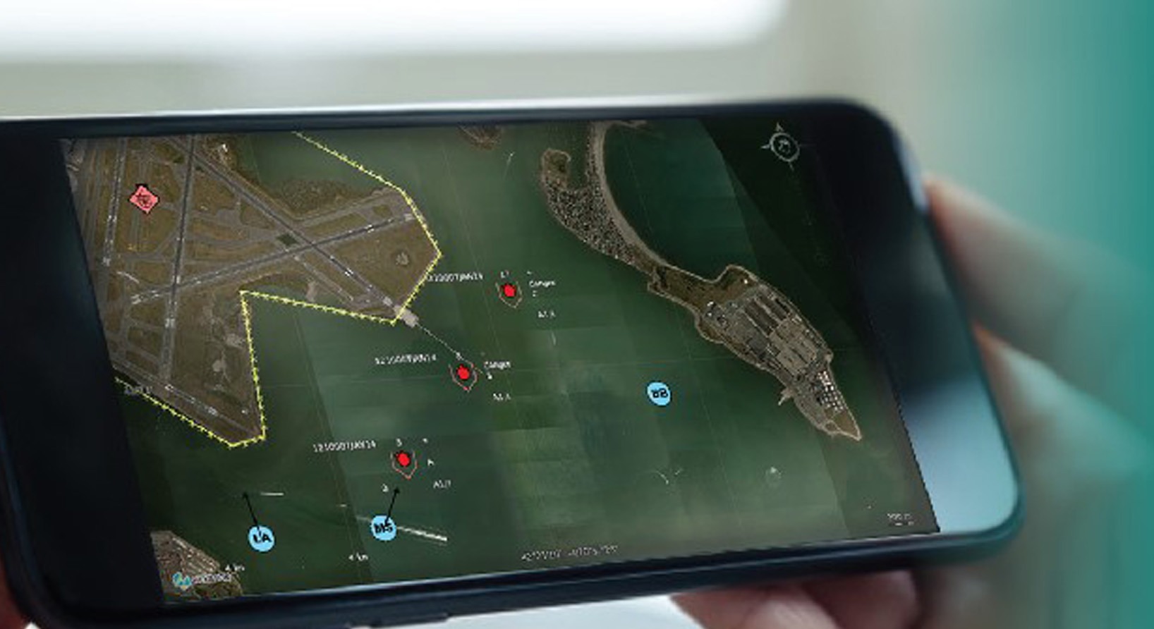
LuciadMobile ensures a smooth transition between online and offline operations, maintaining full access to all LuciadMobile capabilities and geospatial data, even in disconnected mode.
LuciadMobile is designed for optimal usage in the field. It includes deep integration with Android OS, providing access to the functions of the device, such as camera, compass, and GPS. Its small software footprint runs efficiently on mobile hardware resources and provides controllable battery usage.
Why You Should Choose LuciadMobile:
➔Intuitive touch-based access to applications
➔Works standalone in disconnected environments.
➔Easily prepare mission data and then transfer data packages to mobile devices.
➔Integrate device peripherals into situational awareness application.
Capabilities
Mobile Terrain Analysis – Online and Offline
Maintain full access to your geospatial data, even in disconnected mode. LuciadMobile is designed for field use, so users can move smoothly between online and offline operations.
Intuitive Graphical User Interface
Interact with the view using gestures such as pinching, tapping, and dragging. LuciadMobile’s controller includes standard controls and freehand drawing, editing, and rotation.
Military Symbology at Your Fingertips
Display, create, visualize, and edit military icons and tactical graphics for all battle dimensions on land, air and sea. LuciadMobile is compliant with military standards.
Fast and Effective Decision Making
Conduct mobile terrain analysis with the data available on your device, whether online or offline. LuciadMobile gives you the tools you need to make decisions with confidence.
Store and Exchange Data with Ease
OGC Geopackage is the standard used for data exchange and offline data storage on mobile devices. LuciadMobile supports this format, so you won’t have to worry about conversion.


