Capabilities

Adopt Next-Level Automation for Your Utilities Network

Utility organizations use GeoMedia to better plan, operate, and manage assets using geospatial intelligence and smart workflows.

Get Real-Time Data for Smart Cities

GeoMedia tools and analytics help city leaders increase the quality of urban services, engage with the community, and decrease overall costs and resource consumption.

Generate Actionable Information for Public Safety

Public safety agencies use GeoMedia to analyze live queries for fast results, determine event hotspots for mitigation, and run historical queries for future insight.

Ensure Safe and Maintained Roads for Travelers

GeoMedia assists transportation agencies with managing and analyzing their networks, generating reports, and determining appropriate actions to ensure safety on their roadways.

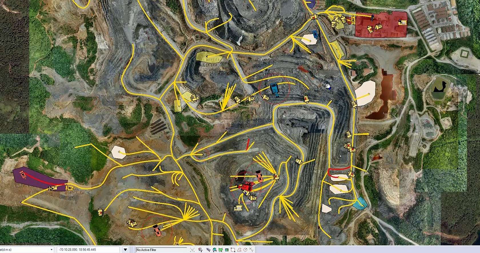
Make Fast, Mission-Critical Decisions for Defense

GeoMedia gives defense analysts immediate data integration and visualization to detect targets and points of interest in order to make fast, informed, mission critical decisions.

Case Studies

Managing the Complete Road Network in Alberta

Alberta’s Department of Transportation leads the planning, construction, and preservation of the province’s highway network to connect communities and support economic and social growth. It is also involved in safety services, providing information and enforcement programs along with engineering solutions to promote safe driving and the transport of dangerous materials.

Following a realignment in 1996, Alberta began outsourcing many operations, including highway maintenance. Instead of actually performing work in the field and other tasks, the department managed and planned activities for contractors. Alberta needed an information system capable of managing data from outside sources and one that could provide accurate data now that the organization had fewer personnel in the field. The department wanted to enable Web access to management processes across the enterprise and develop a transportation model with dynamic segmentation through a linear network. Such a system would help Alberta ease the transition to a more distributed model of operations.

Read more »

24beex35jwp51

Brasov

Brasov enhances information management for infrastructure & services

To support governmental transparency, Brasov City in Romania implemented a public, online database to share geospatial data from its departments and public services. This data included geospatial information, which serves as a valuable tool for infrastructure management. As most of the city’s municipal workflows were managed with paper maps, a gradual shift to IT automation would significantly improve the organization, management, and maintenance of geospatial data. Brasov wanted a complete geospatial solution to manage and integrate data from 36 departments as well as 10 subordinated public services.

Read more »

Constructing smooth roads in Portugal

As a leading player in road construction and maintenance, Ascendi Group works to improve and modernize Portugal’s road network managing a 3,000 km network of transport infrastructure concessions. In order to collect, share and manage infrastructure and asset data, they deployed a user-friendly GIS web portal to streamline the design and construction of motorways across its network, tailoring workflows and data access to specific user roles.

Read more »

Ascendi Group